Eagle Rock, California, is a truly unique rock formation resembling a giant eagle with outstretched wings. Located along the Pacific Crest Trail (PCT) near Warner Springs, this natural wonder offers hikers a diverse landscape, from oak-lined creeks to chaparral-covered hillsides. This guide details a hike to Eagle Rock, perfect for outdoor enthusiasts of all levels.
 Overview of Eagle Rock formation in California
Hiking the PCT to Eagle Rock
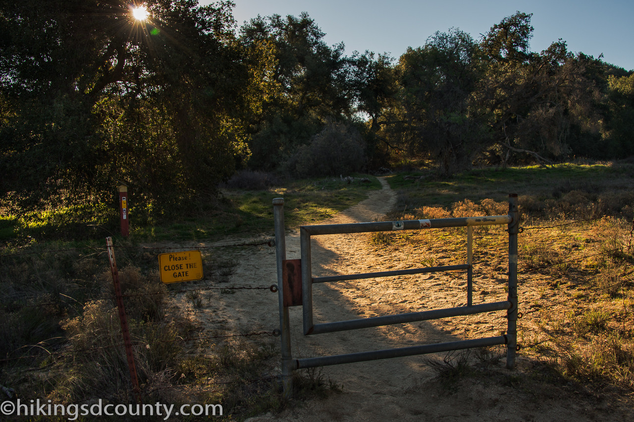
The journey begins at the Warner Springs Fire Station on Highway 79. Park across the street and locate the marked PCT gate on the southwest side of the station. After carefully securing the gate behind you, the trail initially parallels the highway before veering away.
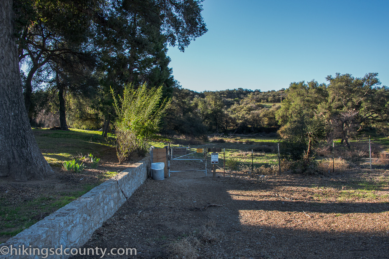 Metal gate at the start of the Pacific Crest Trail near Warner Springs
The first half mile meanders through a shaded oak woodland with a lush green understory. You’ll pass through a couple more gates, one at 0.25 miles where the California Riding and Hiking Trail (CR&HT) intersects. Shortly after, the tranquil sounds of Cañada Verde Creek welcome you.
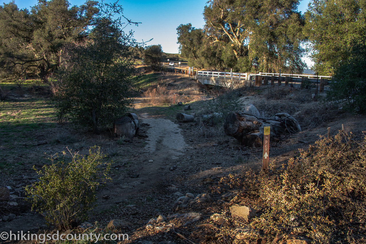 Path along the Pacific Crest Trail heading towards Eagle Rock
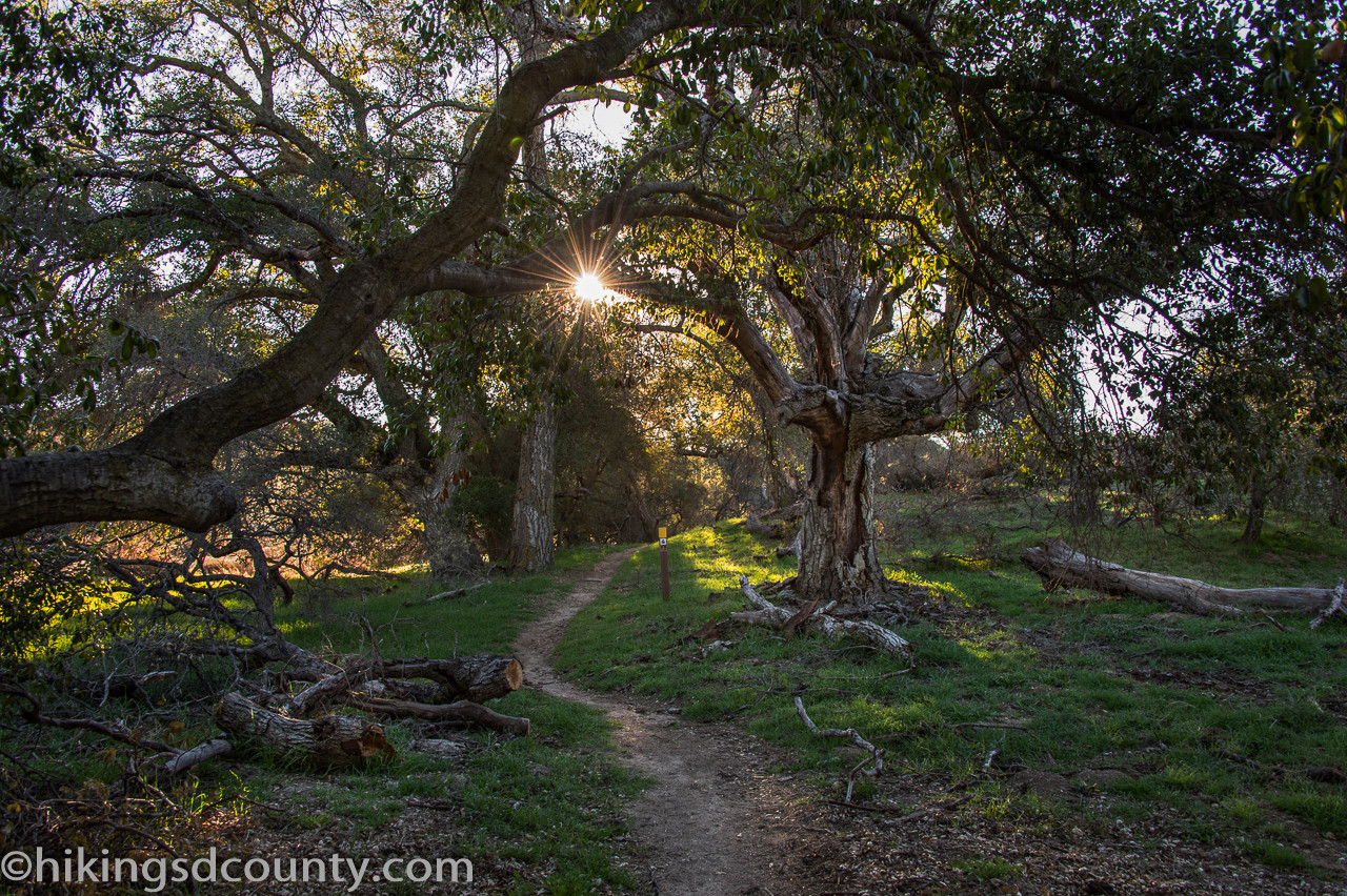 Lush greenery along the Pacific Crest Trail near Eagle Rock
Diverse Landscapes on the Trail to Eagle Rock
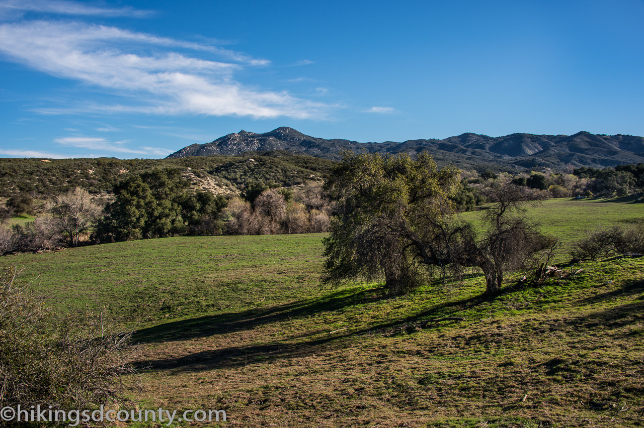
Around the one-mile mark, the trail opens into a grassy hillside, offering glimpses of the surrounding mountains. The path then returns to the creek’s edge, winding through the trees before emerging into a wide grassy expanse around 1.6 miles.
 Gate along the Pacific Crest Trail to Eagle Rock, California
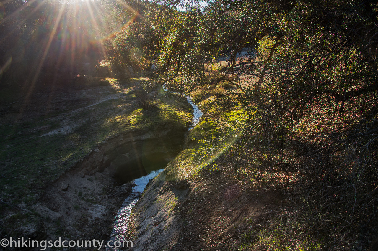 Creekside view along the Pacific Crest Trail near Warner Springs
As you continue, the landscape transitions to chaparral, with chamise, cholla, and prickly pear cacti lining the trail. On a clear day, you can spot the Palomar Mountain Observatory and fire lookout in the distance. The final stretch before reaching Eagle Rock features rolling grasslands dotted with boulders.
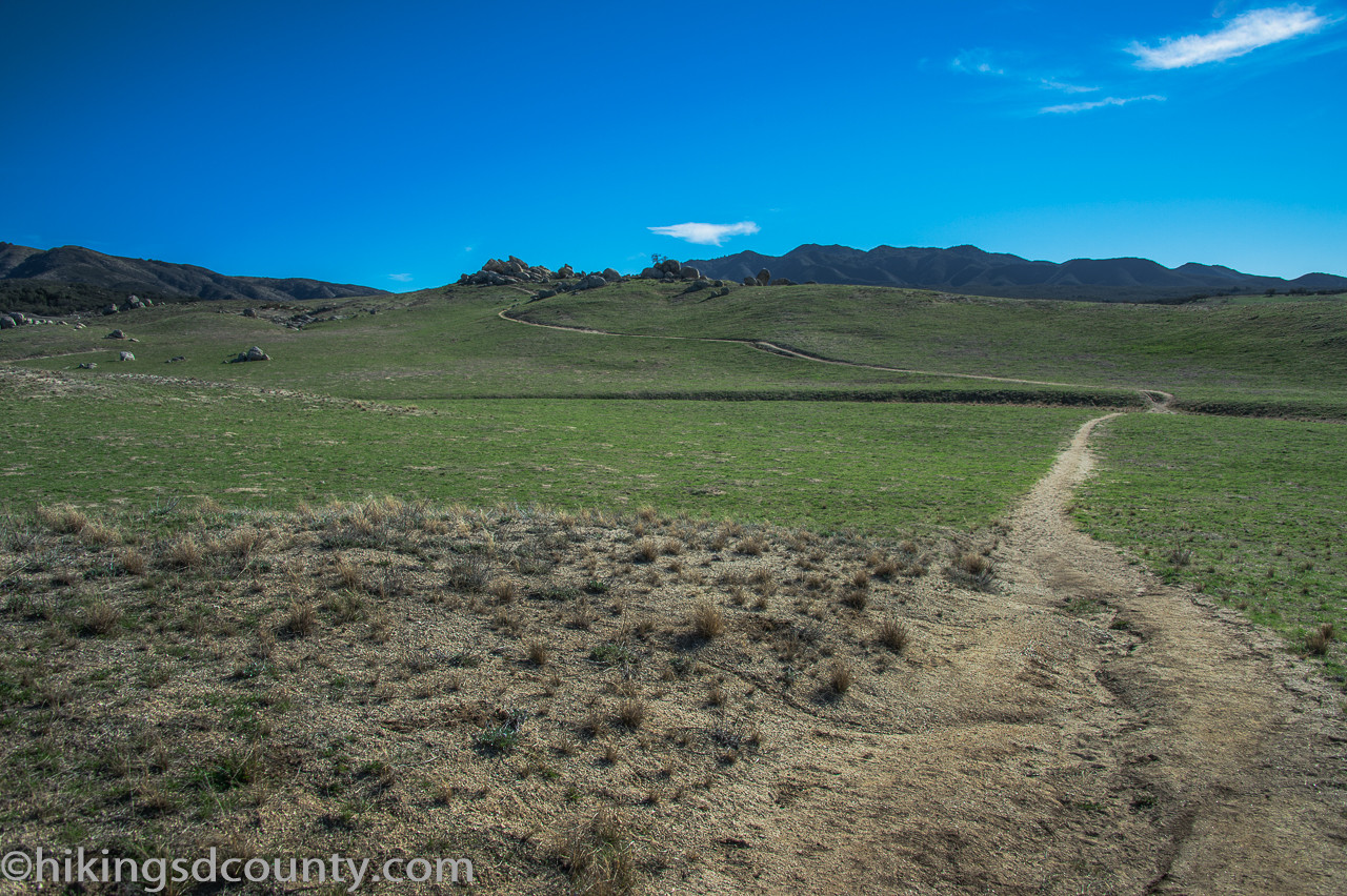
 Open grassland along the Pacific Crest Trail near Eagle Rock
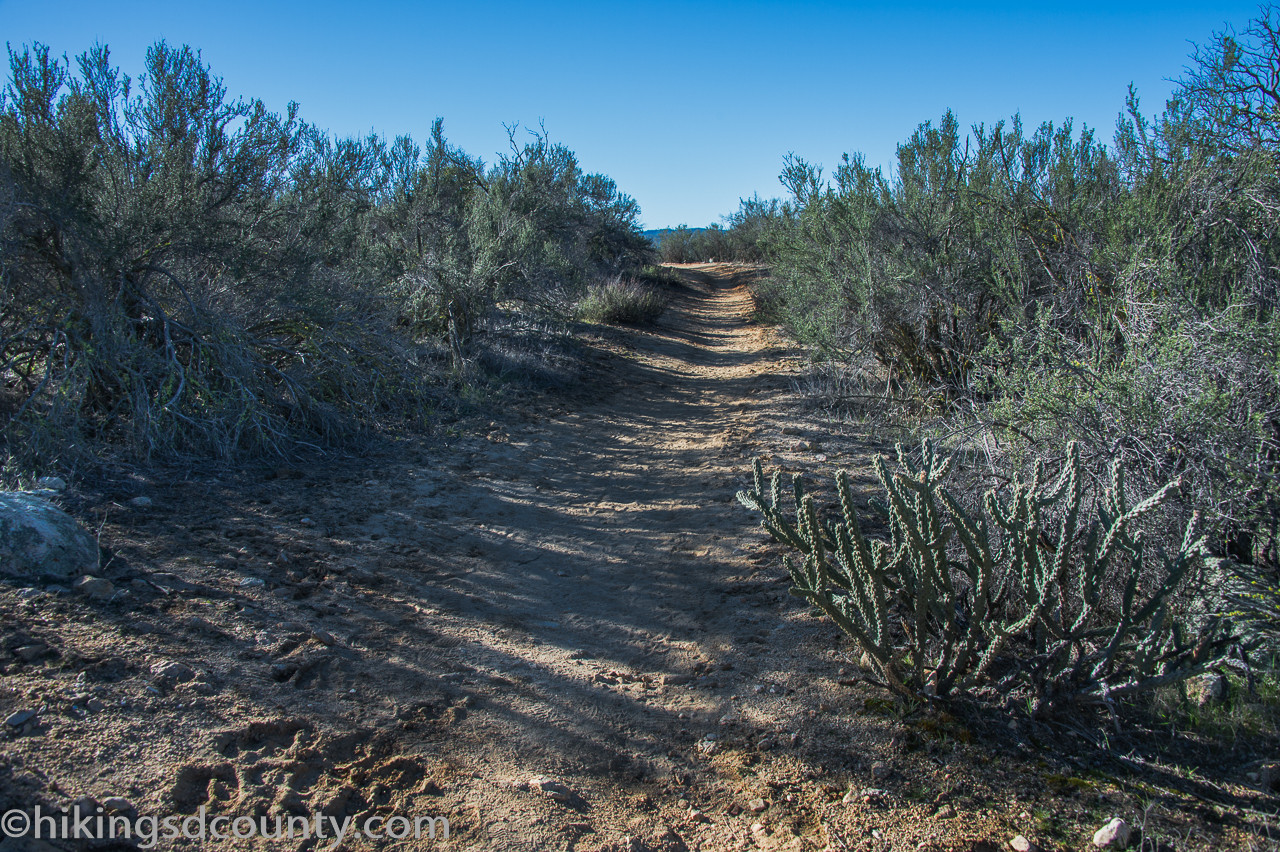 Chaparral landscape along the Pacific Crest Trail near Eagle Rock
Reaching Eagle Rock
At approximately 3.2 miles, a use trail branches left towards Eagle Rock. A short climb leads to the top, revealing the impressive rock formation in all its glory. The unique rock arrangement justifies its name, resembling an eagle poised for flight.
 Distant view of Eagle Rock from the Pacific Crest Trail
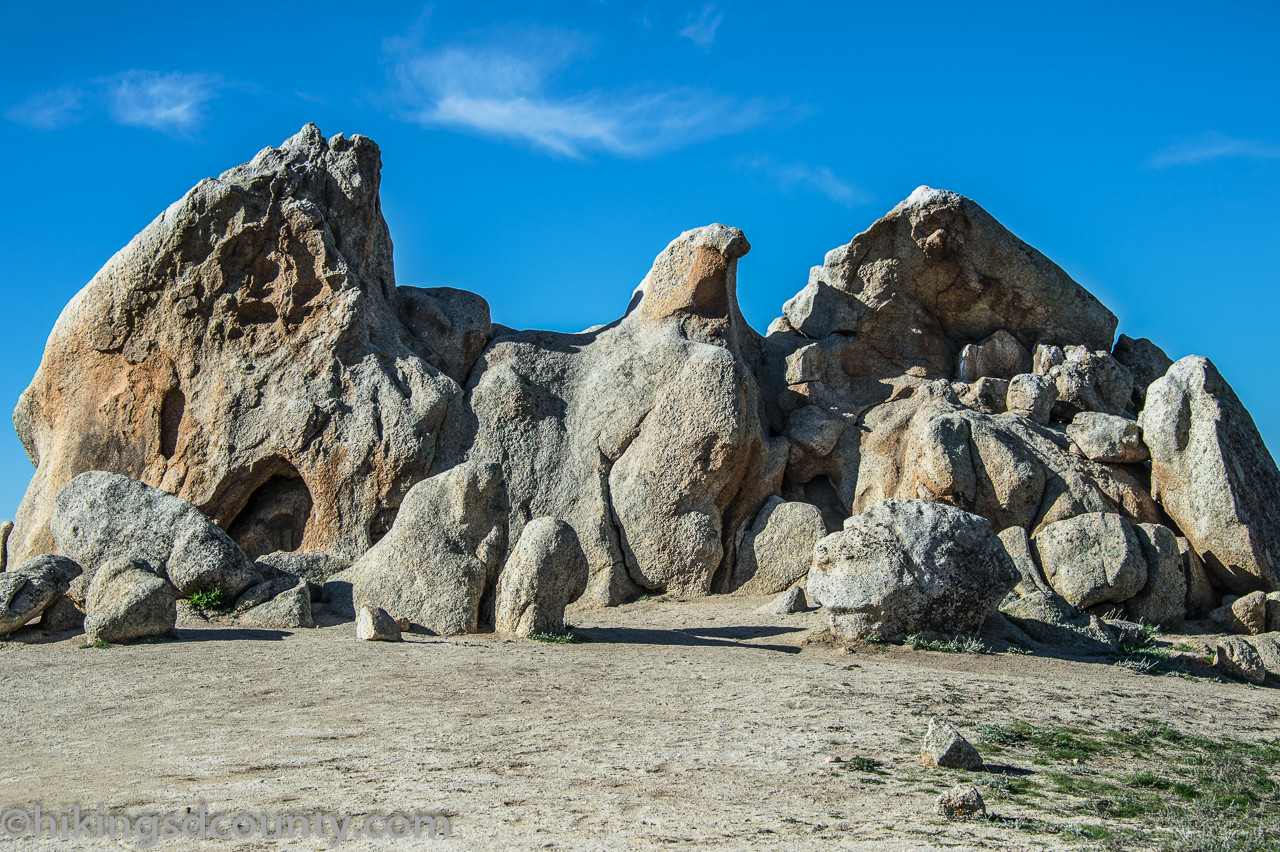
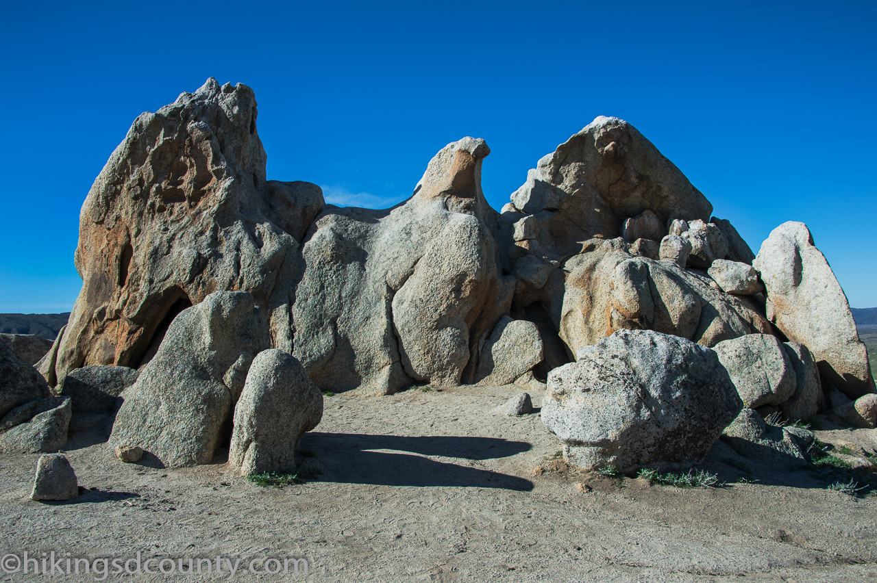 Close up view of Eagle Rock in Warner Springs, California
After exploring and enjoying the views, return along the same path to the Warner Springs Fire Station. The entire hike is approximately 6.5 miles roundtrip with moderate elevation gain, making it a rewarding adventure for hikers of various skill levels. Be sure to bring plenty of water and wear appropriate footwear. While leashed dogs are allowed, be aware of cattle grazing in the area.