Eagle Rock, quite possibly the most aptly named rock formation on the planet, awaits discovery along a scenic stretch of the Pacific Crest Trail (PCT) near Warner Springs. This granite marvel, sculpted by nature into the striking image of a colossal eagle with wings spread wide, offers an unforgettable visual treat. But the allure of this hike extends far beyond its namesake. The trail itself unfolds through an enchanting tapestry of Southern California landscapes, transitioning from lush, oak-canopied creeksides to sun-drenched chaparral slopes and finally, expansive grassy hills. Whether you’re a seasoned hiker or just starting out, the Eagle Rock trail promises an accessible adventure with something to captivate every nature lover.
Our day began with the promise of exploration, setting off early to reach Warner Springs before the morning was in full swing. Arriving just before eight, we found convenient roadside parking across from the Warner Springs Fire Station. The PCT is easily accessed here, marked by gates on both sides of the road. Our route led us southbound, and we quickly located the metal gate on the southwest side of the fire station, our official starting point.
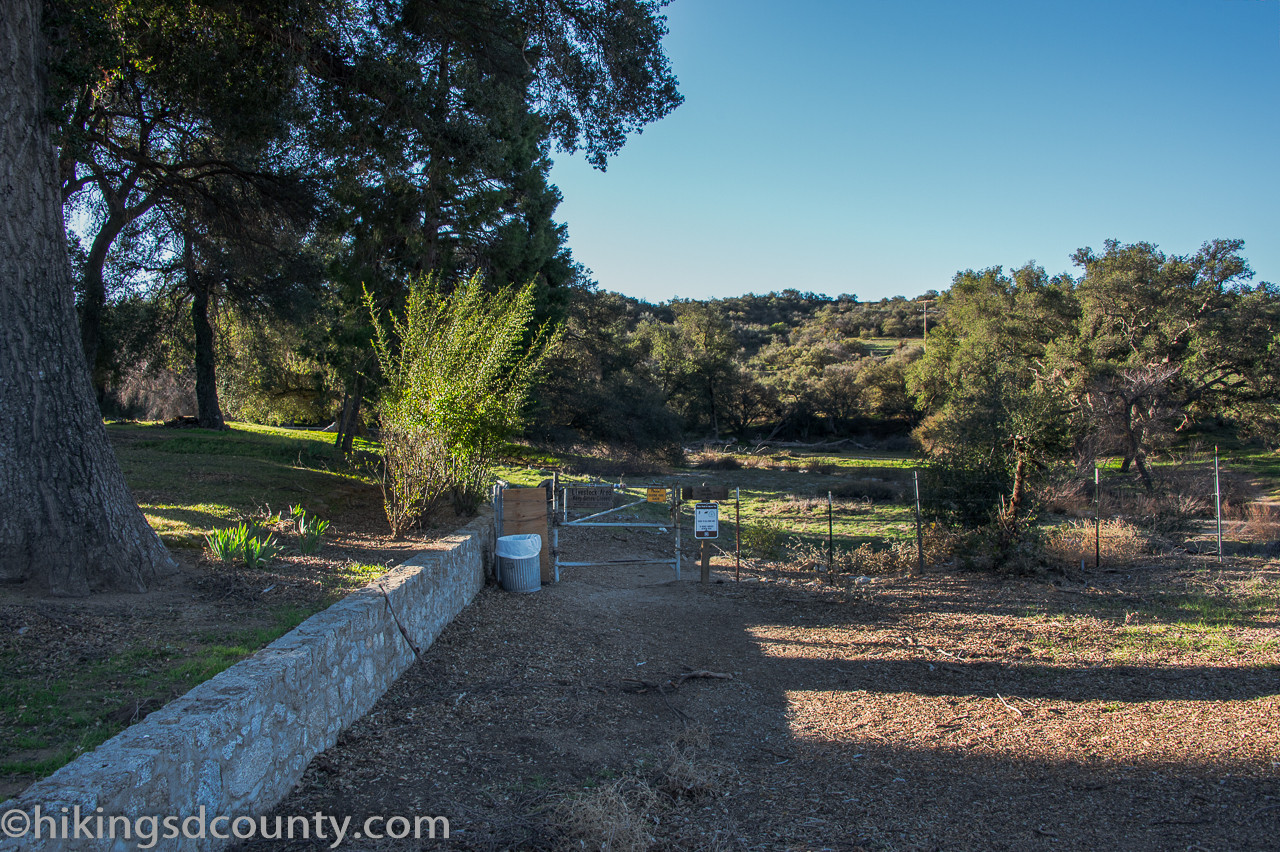 Eagle Rock Trailhead near Warner Springs Fire Station
Stepping through the gate, we made sure to secure the chain behind us, a reminder that this area is part of cattle grazing land. The trail gently guided us forward.
 Entering the Eagle Rock hiking trail through a metal gate
Initially, the path traced a dry stream bed, running parallel to the highway for a short distance before veering away into a world of green. A vibrant carpet of grass covered the ground, and a dense canopy of oak trees enveloped us, creating a cool, shaded haven.
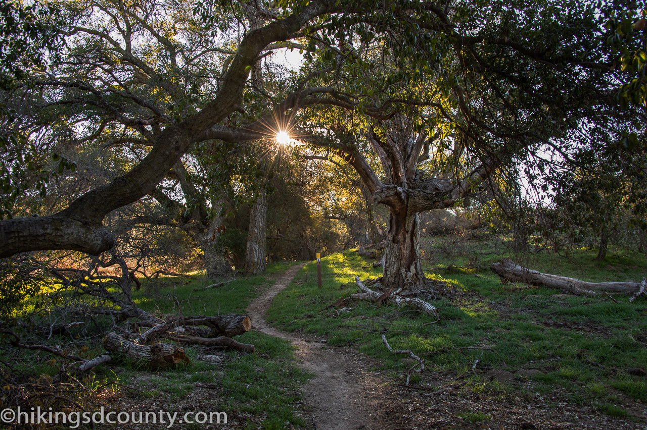 Lush greenery and oak canopy along Eagle Rock trail
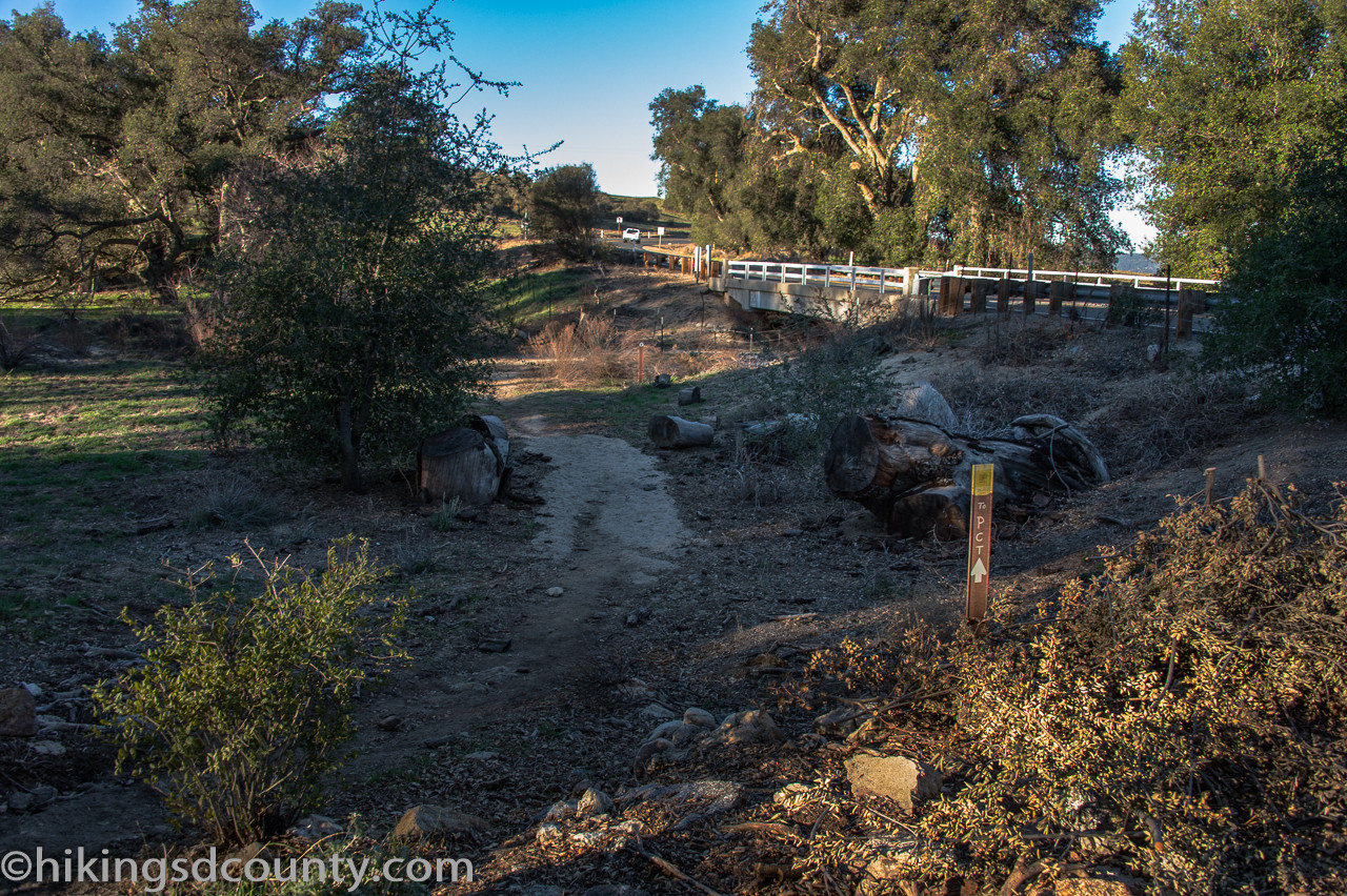
At the quarter-mile mark, we encountered another metal gate, passing through into a slightly different environment. Shortly after, the California Riding and Hiking Trail (CR&HT) branched off to the left, offering an alternative route for those heading towards town. We stayed on course, continuing straight ahead on the PCT.
 Trail junction on the way to Eagle Rock, CR&HT branch
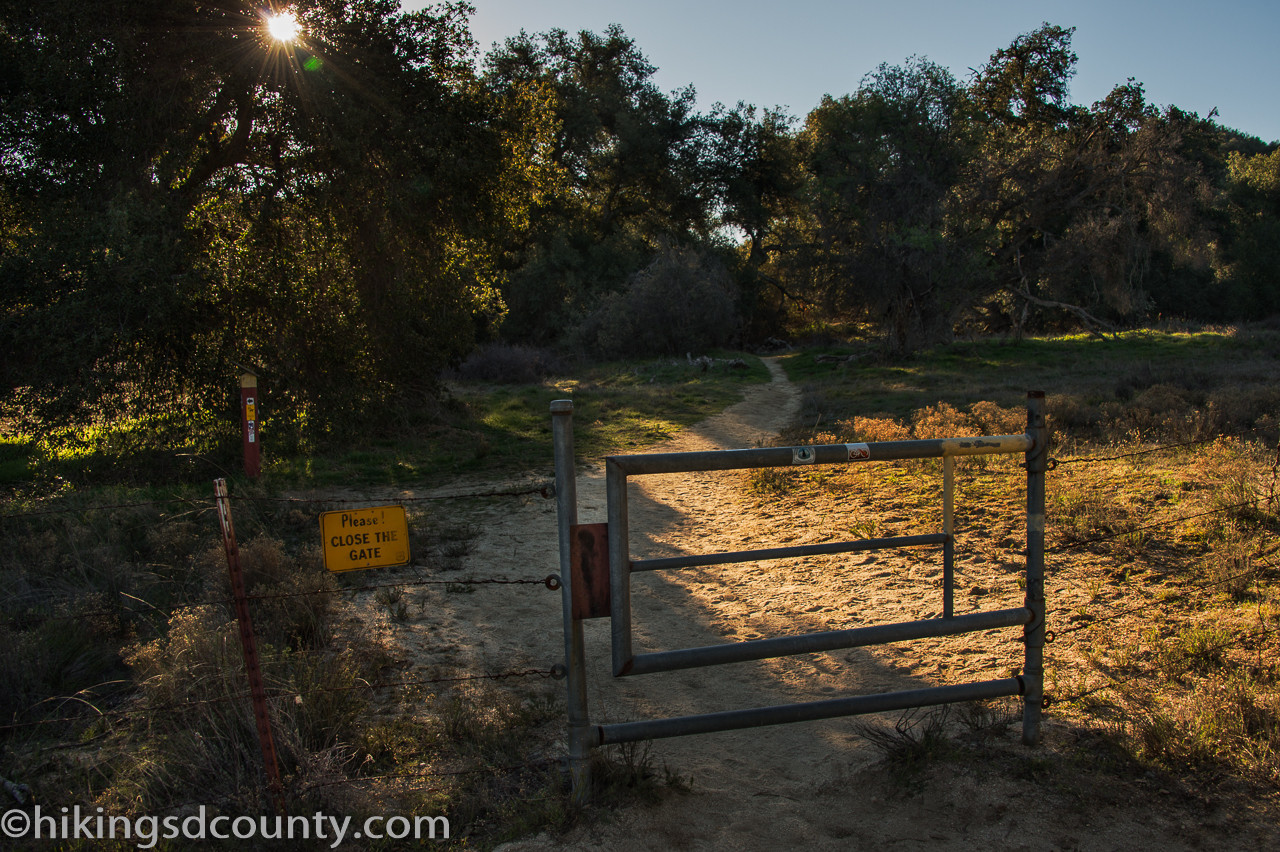
Within a few hundred feet, a third gate appeared. Despite the somewhat contradictory “No Trespassing Sign” (an easement ensures trail access for PCT and CR&HT hikers), we confidently passed through and followed the trail as it curved to the left.
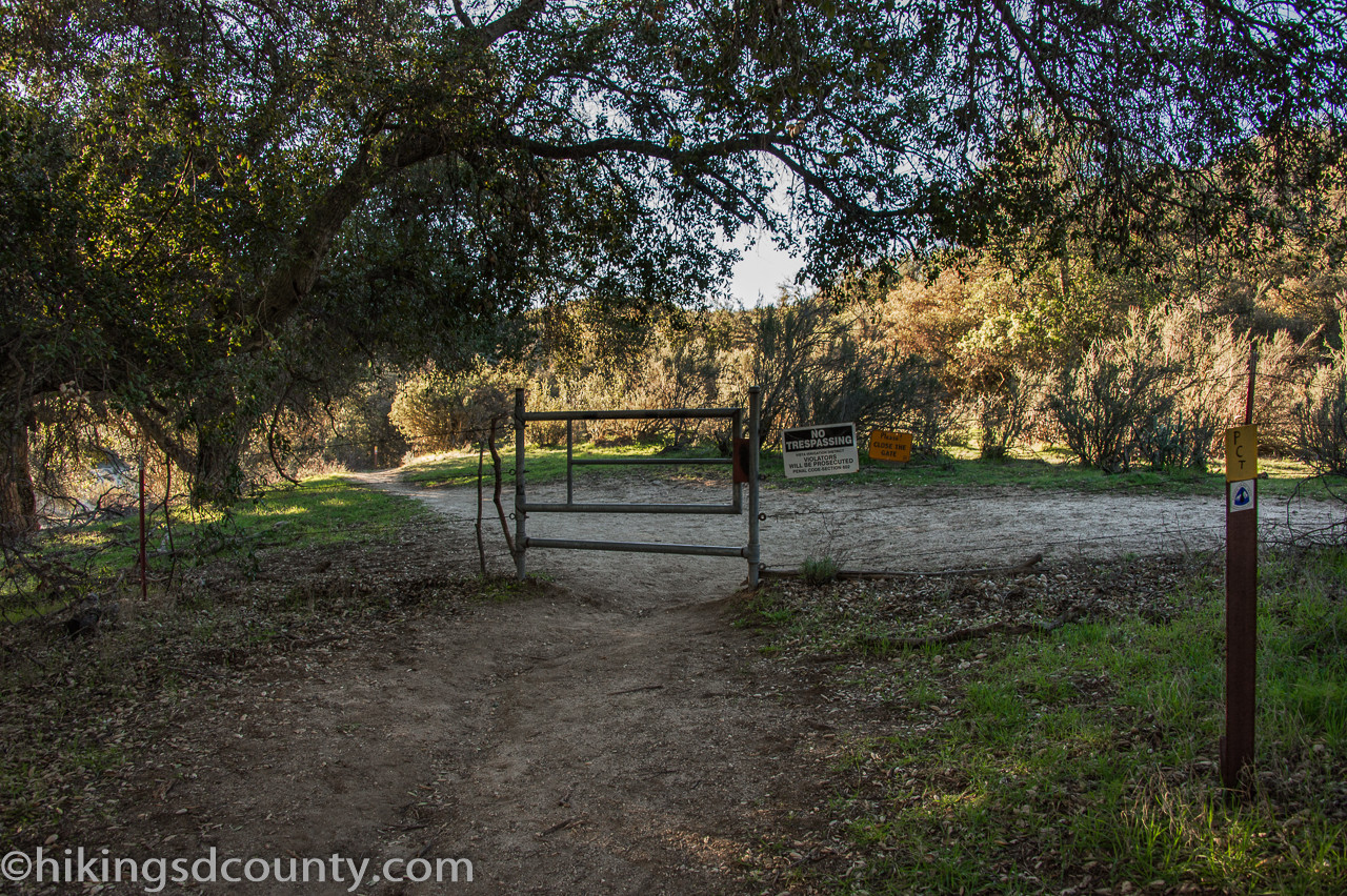 Navigating gates and signage on Eagle Rock Pacific Crest Trail section
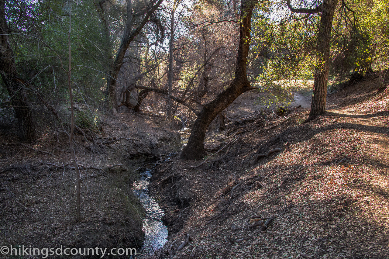
The subtle sound of flowing water grew steadily louder, a welcome auditory signal. Soon, we reached Cañada Verde Creek to our left, its small but consistent flow adding a refreshing ambiance to the hike.
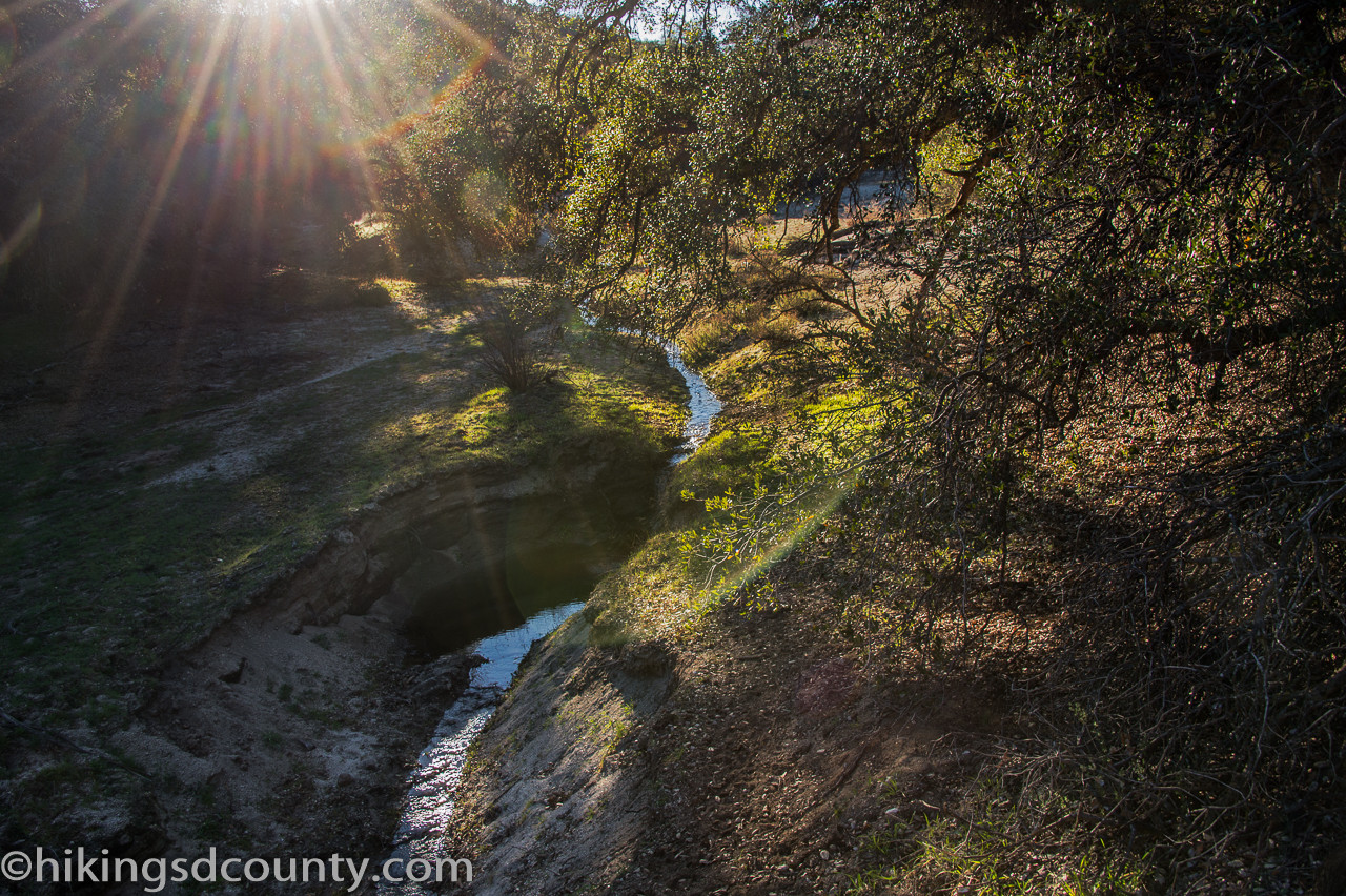 Cañada Verde Creek flowing beside the Eagle Rock trail
The trail gently inclined upwards, tracing the course of the creek as we progressed deeper into the landscape.
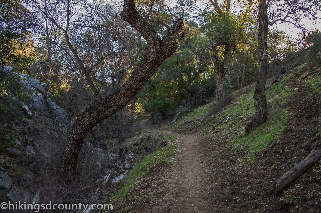 Uphill section of Eagle Rock trail alongside the creek
Around the 0.9-mile mark, the trail momentarily veered away from the creek, revealing a grassy, oak-studded hillside to our right. The rustling sounds of squirrels darting away through the undergrowth accompanied our walk.
 Oak-covered hillside view along the path to Eagle Rock
Before long, we were drawn back towards the creek, the trail weaving in and out of the comforting shade of the trees, a delightful interplay of sun and shadow.
 Winding trail section with trees and creek views near Eagle Rock
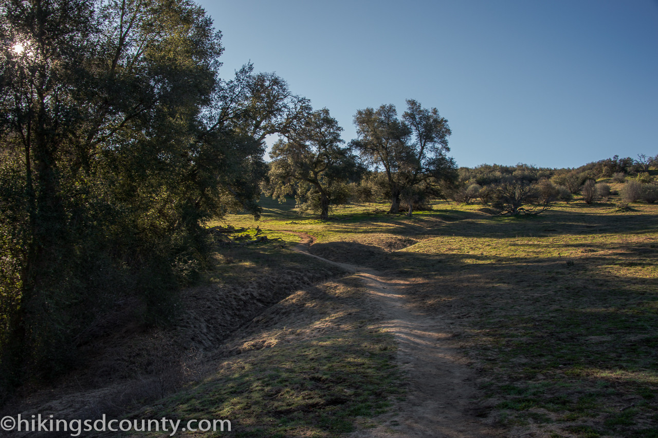
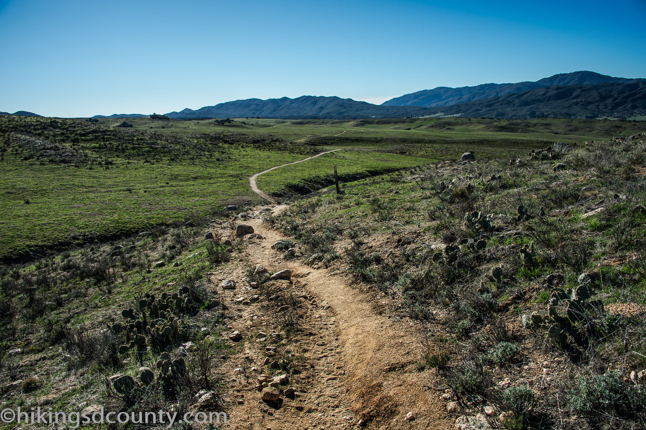
Reaching approximately 1.6 miles, the trail curved around the perimeter of a broad, grassy expanse, offering more open views.
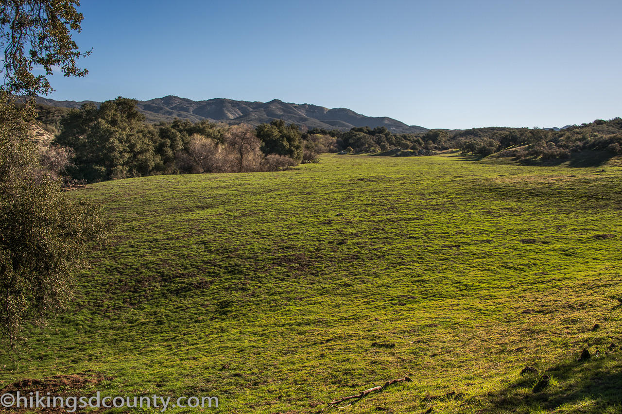 Wide grassy expanse on the Eagle Rock hiking route
The dense tree cover began to thin, unveiling panoramic vistas of the surrounding area. As the trail stretched onward, the vastness of the Pacific Crest Trail sparked thoughts of longer adventures, dreaming of a thru-hike from Mexico to Canada.
 Open views and distant hills on the Pacific Crest Trail near Eagle Rock
By the 1.9-mile point, the oak woodlands had given way entirely to lower-lying chaparral vegetation. We arrived at a four-way intersection and proceeded straight through, guided by the reassuring PCT trail markers.
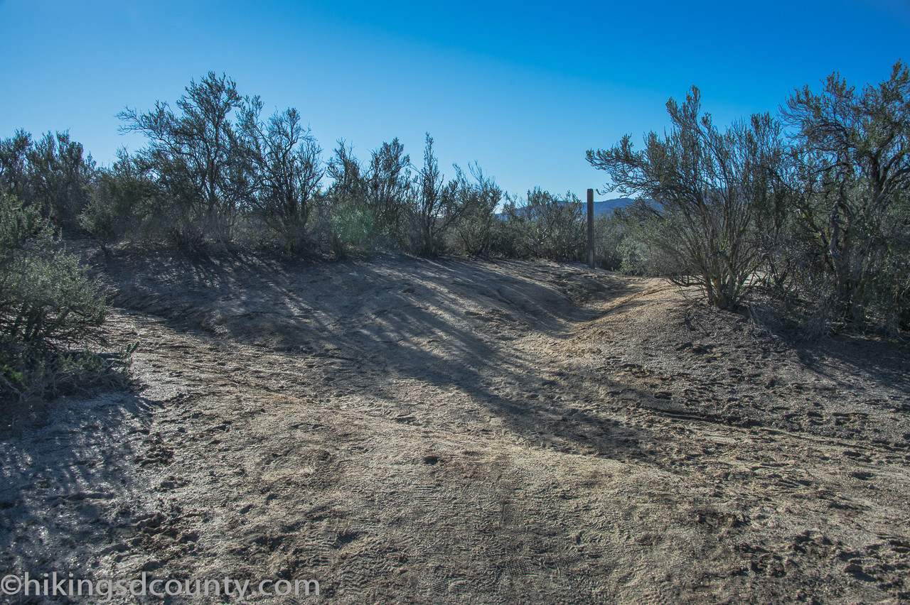 Four-way trail intersection, continue straight for Eagle Rock on PCT
Towering chamise bushes lined the trail, punctuated by the occasional pencil cholla and prickly pear cactus, characteristic plants of the chaparral ecosystem.
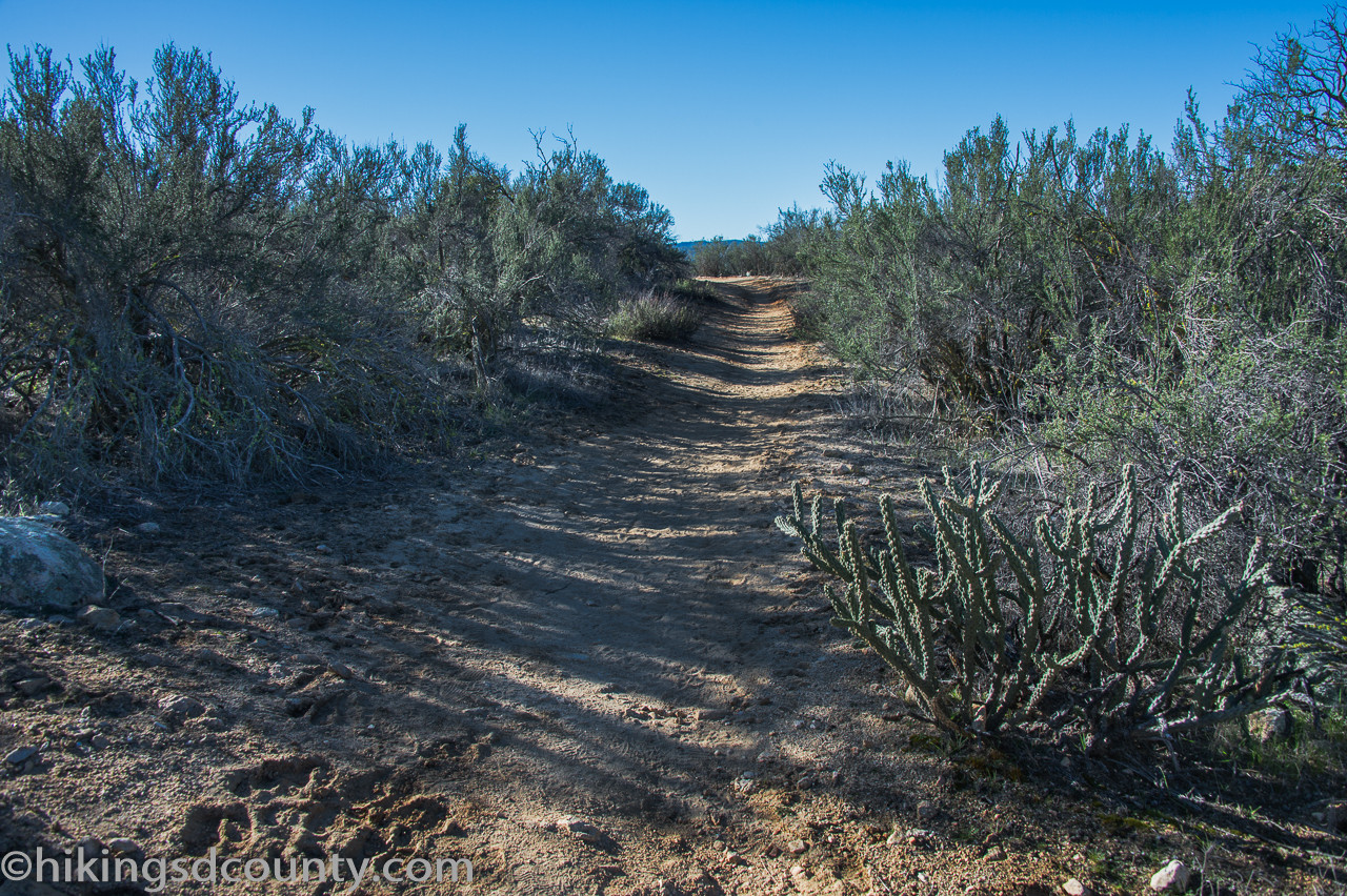 Chaparral landscape with chamise and cacti along Eagle Rock trail
Rounding a bend and glancing northwest, we were rewarded with a clear view of Palomar Mountain’s peak, spotting the observatory and fire lookout in the far distance.
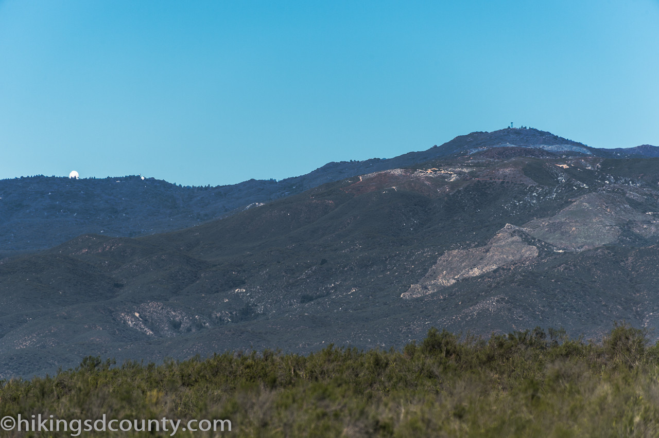 Palomar Mountain Observatory visible from Eagle Rock trail
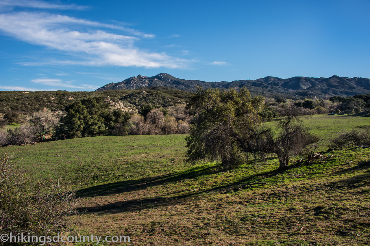
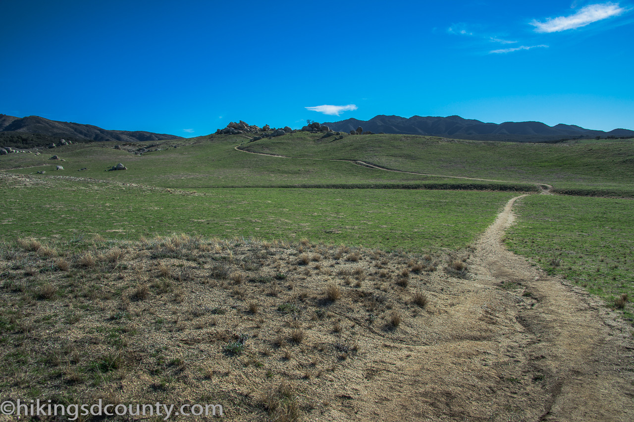
The terrain transitioned once more, shifting from the shrubby chaparral into gently rolling grasslands, a testament to the diverse habitats found in this region.
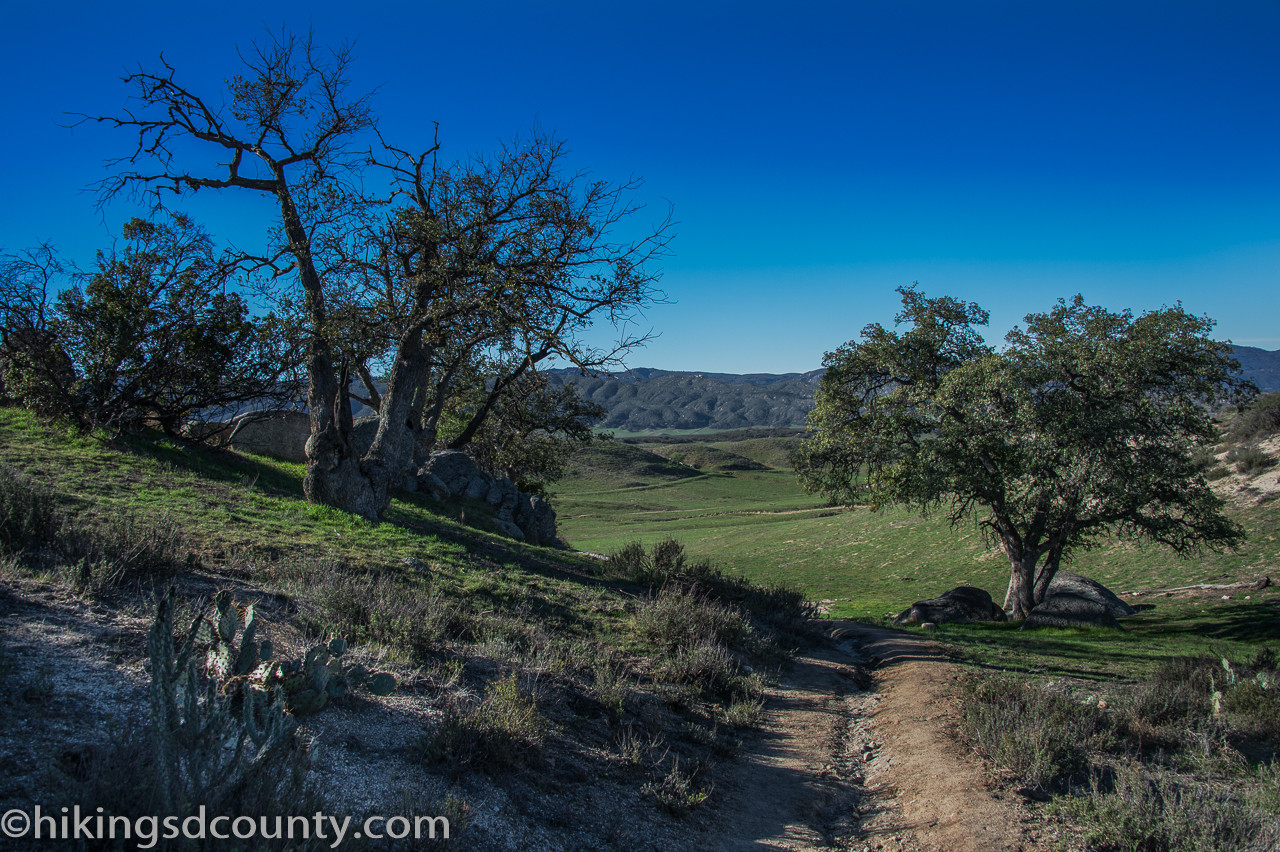 Rolling grassland landscape on the approach to Eagle Rock
In mid-February, the hills were adorned with a vibrant green carpet of grass, a seasonal beauty that we knew would soon transform into golden hues as the months warmed. Scattered boulders added visual interest to the open landscape.
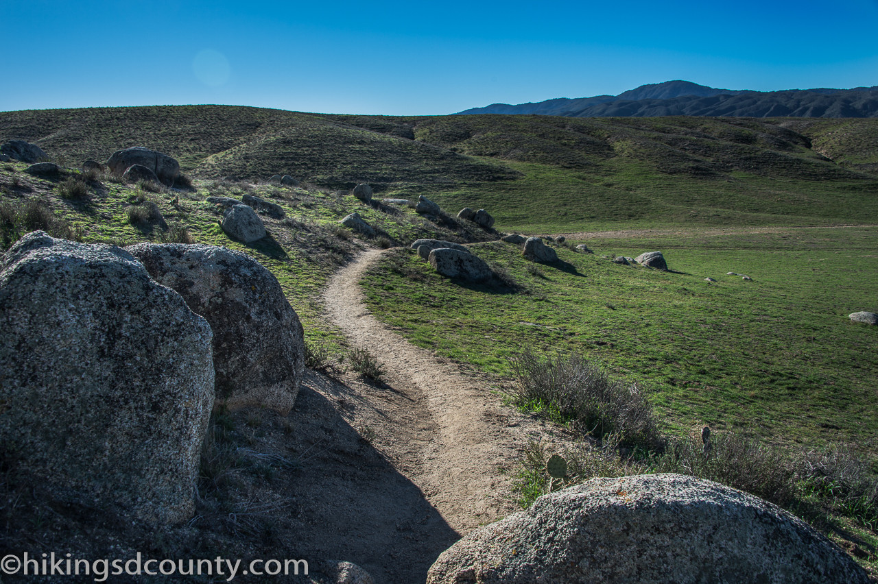 Green grassy hills and scattered boulders near Eagle Rock
The trail meandered onward through these expansive fields. While evidence of cattle was abundant along the path, we had yet to encounter any actual cows, beginning to wonder if they were simply elusive residents.
 Open field section of the Eagle Rock hiking trail
Finally, a hill emerged in the distance, crowned with distinctive boulder formations on either side. Our destination, Eagle Rock, was now in sight, generating anticipation with every step.
 Eagle Rock visible in the distance, our hiking destination
At 3.2 miles, we reached a trail junction. To our left, an unassuming pile of rocks initially seemed unremarkable. We turned left onto the less-defined use trail leading uphill, trusting our instincts and the promise of Eagle Rock.
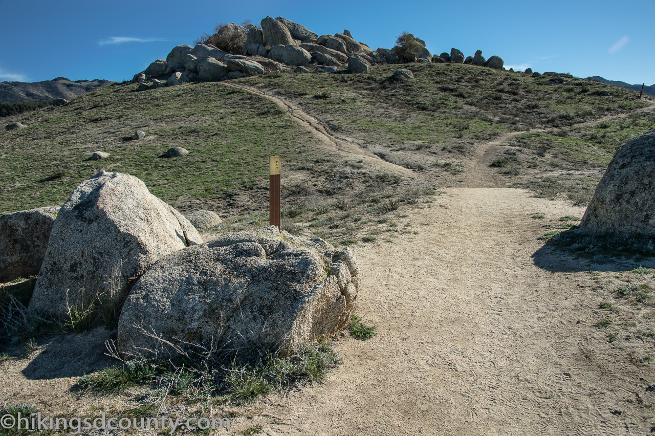 Turning onto the use trail towards Eagle Rock formation
Reaching the crest of the small hill and turning back to face the rock pile from this elevated perspective, the transformation was astonishing.
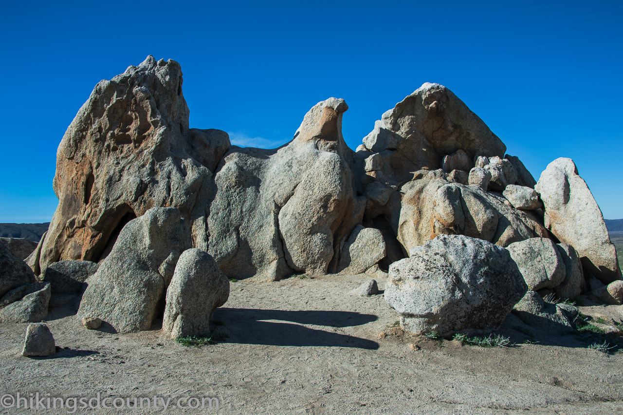 Eagle Rock formation revealed from a higher vantage point
Eagle Rock, undeniably! The resemblance to a majestic eagle was now strikingly clear, a testament to the power of natural artistry.
And then, as if on cue, we finally spotted some cows grazing down the hill, further along the trail. We admired them from a distance, our attention captivated by the magnificent rock formation before us.
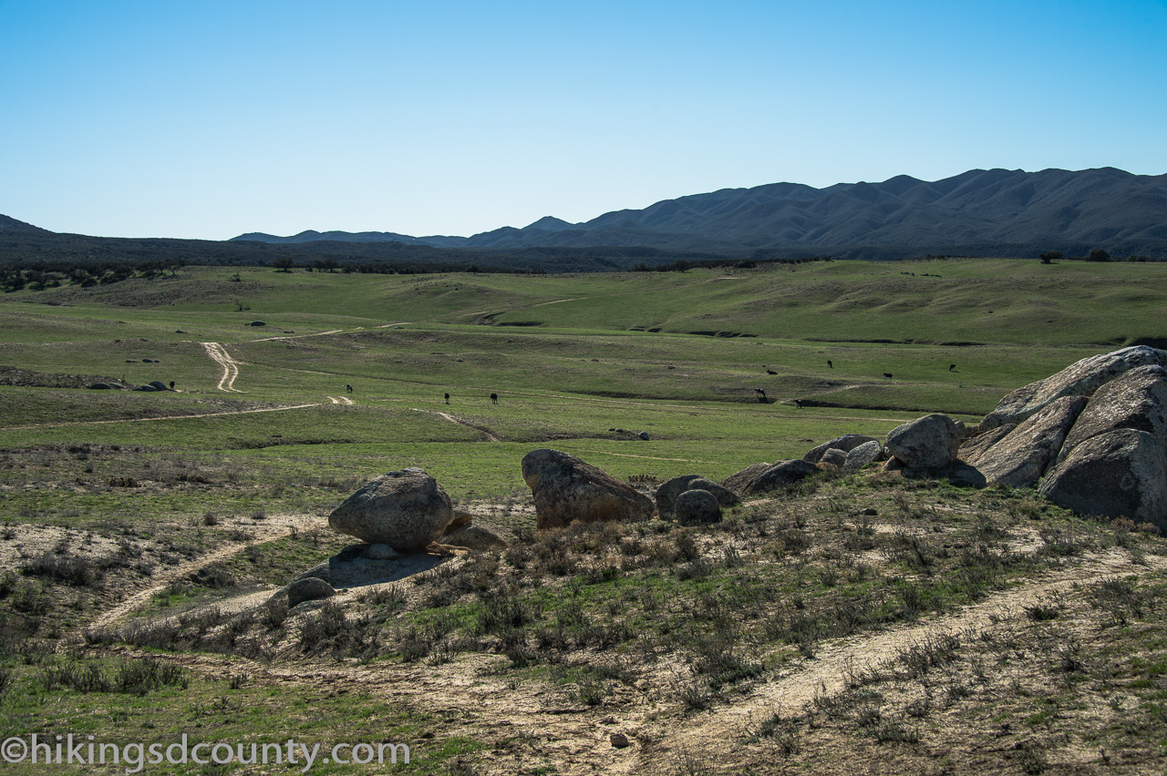 Cows grazing in the distance near Eagle Rock, Warner Springs
We paused to enjoy a snack, relishing the moment and the stunning views. Climbing on the rocks and capturing photos became an essential part of the experience before we began our return journey, retracing our steps with lasting memories of Eagle Rock.
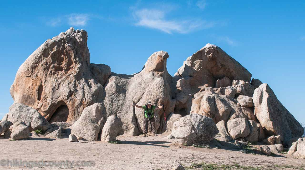 Hikers enjoying Eagle Rock and surrounding scenery
Directions: Take 67 north to downtown Ramona where it turns into Main Street and then 78 East. Continue on 78 East for approximately 14 miles, then turn left onto 79 North. Follow 79 North for approximately 13 miles to the Cal Fire Warner Springs Fire Station on the right. Park on the side of the road opposite the fire station, where there is a wide gravel shoulder. map
| Total Distance: | 6.5 miles |
|---|---|
| Difficulty: | Easy – Moderate |
| Total Ascent: | 988 feet |
| Dog Friendly?: | Leashed dogs allowed |
| Bike Friendly?: | Bikes not allowed |
| Facilities: | None |
| Fees/Permits: | None |