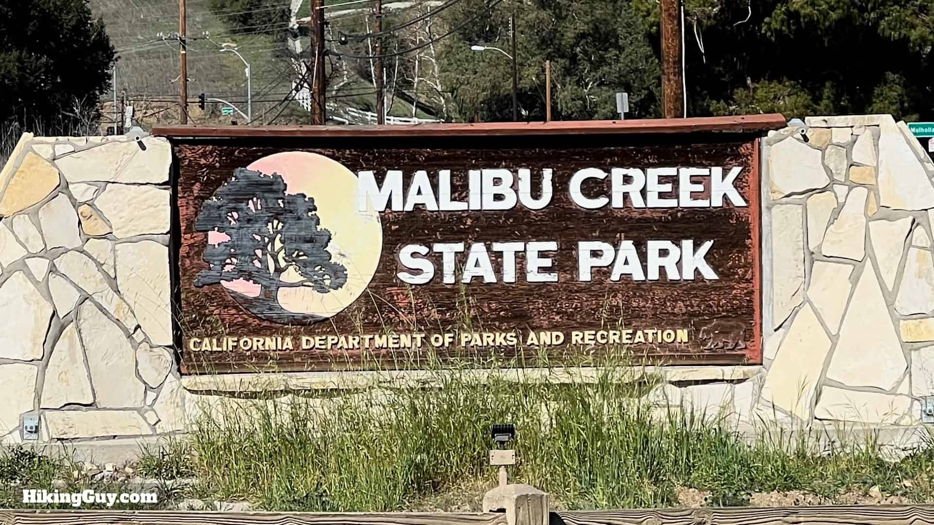
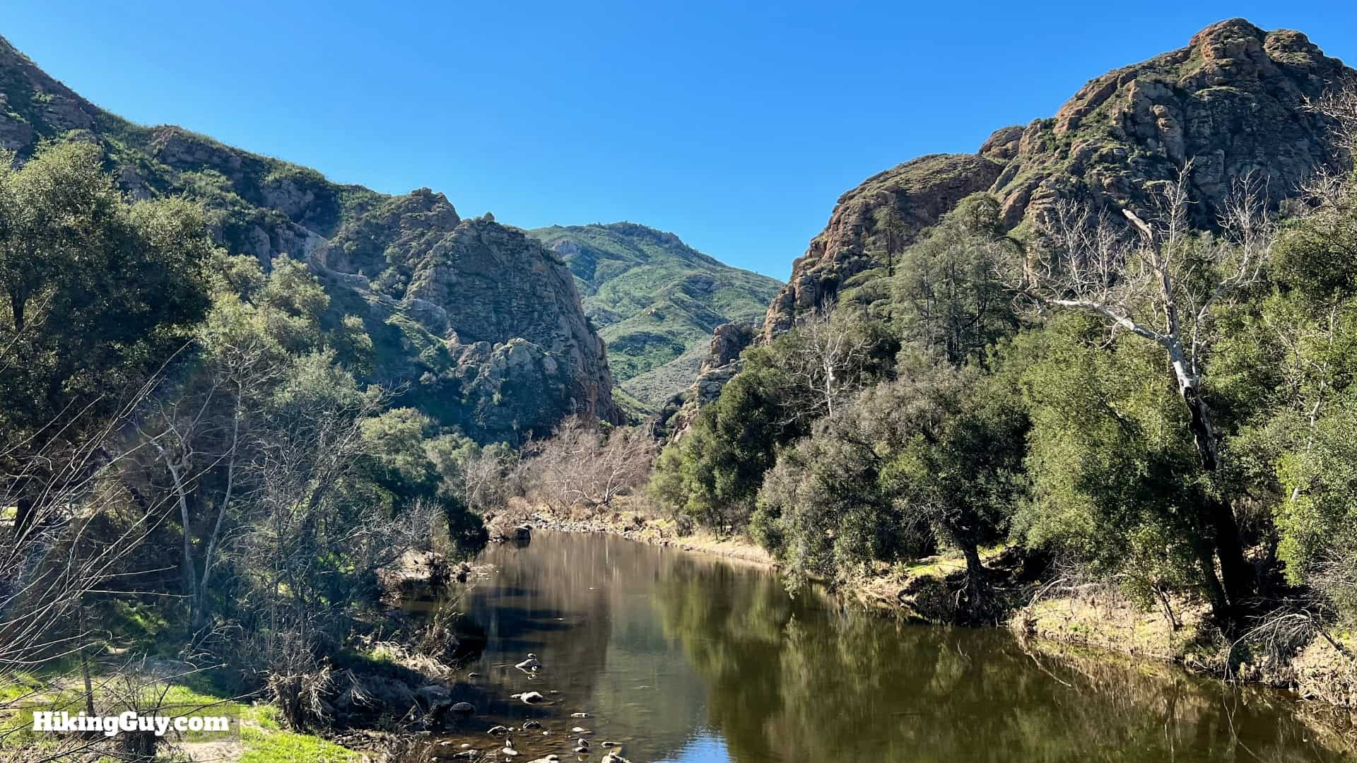
Malibu Creek State Park, a jewel in the Santa Monica Mountains, offers a diverse landscape rich in natural beauty and Hollywood history. Among its many attractions, the Malibu Creek Rock Pool stands out as a must-visit destination. This natural swimming hole, carved into ancient volcanic rock, is the perfect reward after a scenic hike. Let’s embark on a journey to explore the iconic Rock Pool, uncover hidden gems like Century Lake dam, and step back in time at the legendary MASH television set location. This guide will lead you through an unforgettable hike, blending adventure with a touch of nostalgia.
Finding Your Way to the Malibu Creek Rock Pool
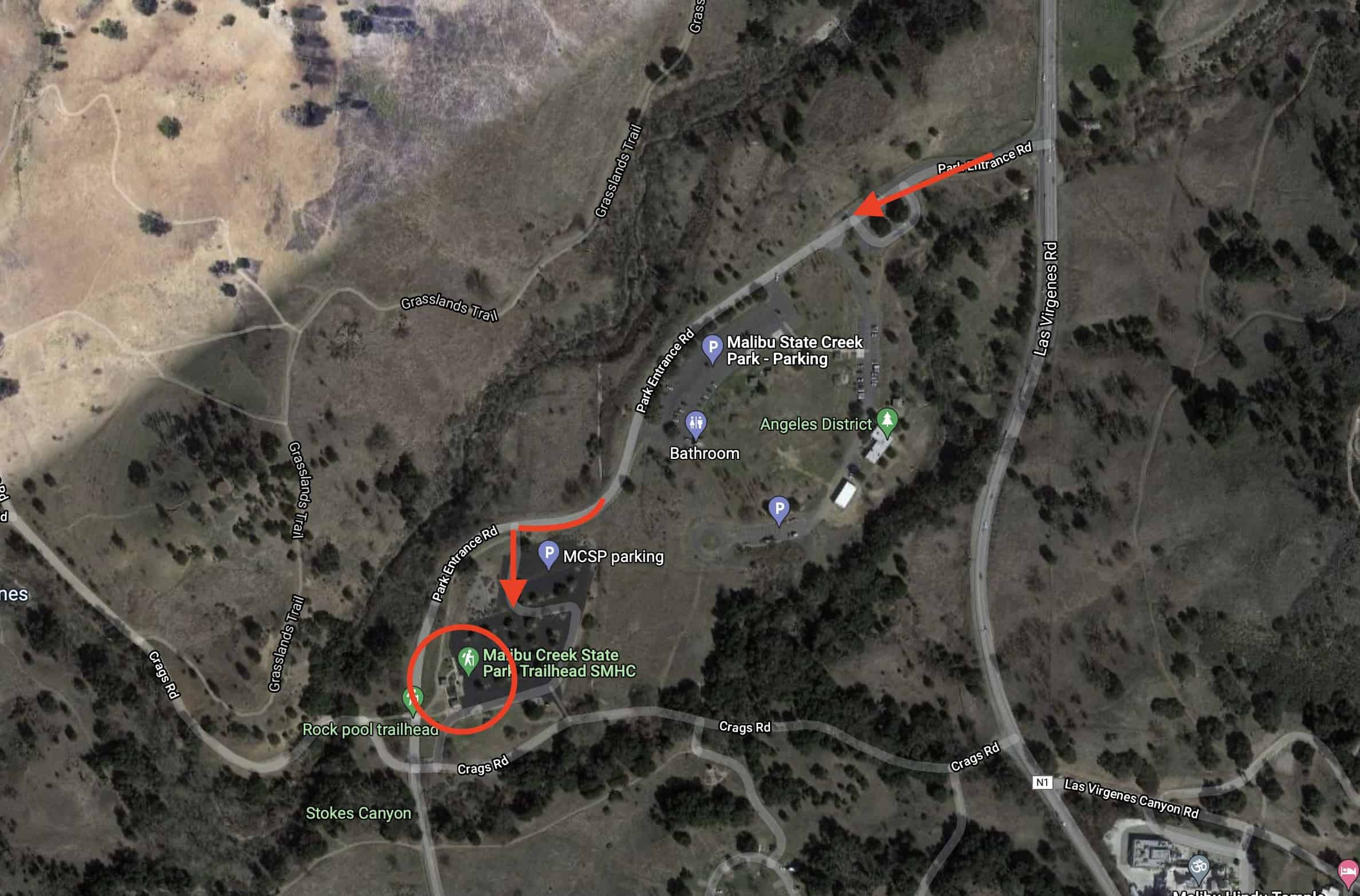
Navigating to the heart of Malibu Creek State Park and the Rock Pool is straightforward. The hike begins at the main parking lot and visitor area, easily accessible using the following address: 1925 Las Virgenes Road, Calabasas, CA 91302
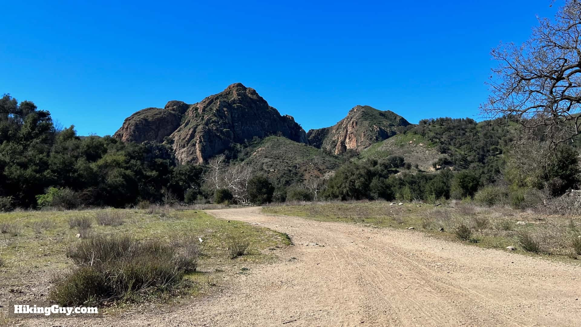
 Trailhead directions to Malibu Creek Rock Pool hike
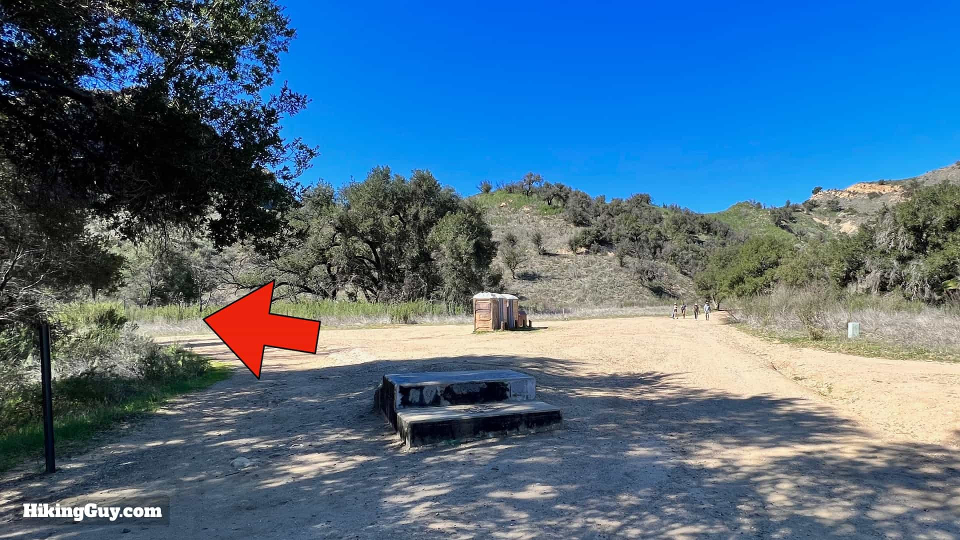
Upon entering the park, a short drive will lead you to the main parking area on your left.
 Malibu Creek State Park parking area map
Parking is readily available, even on busier days, making it a convenient starting point for your adventure.
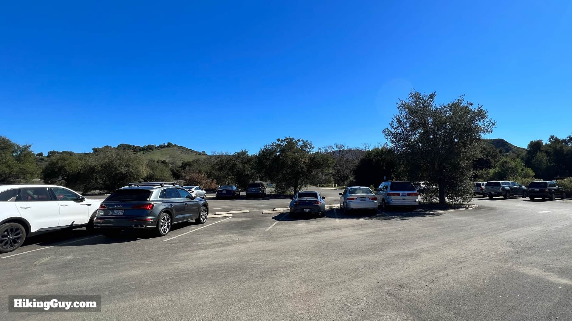 Abundant parking spots at Malibu Creek
Remember that Malibu Creek State Park is a California State Park, requiring an entry fee. Payment can be made at the entrance booth, if attended, or at self-pay kiosks within the park. Consider purchasing an annual State Park pass for access to all California State Parks.
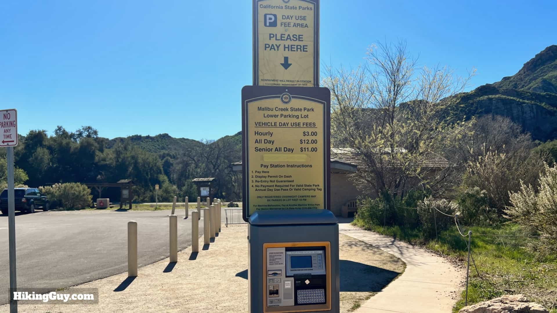 Self-pay kiosk for park entry fees
Before hitting the trail, take advantage of the facilities near the trailhead, including restrooms and a water fill station.
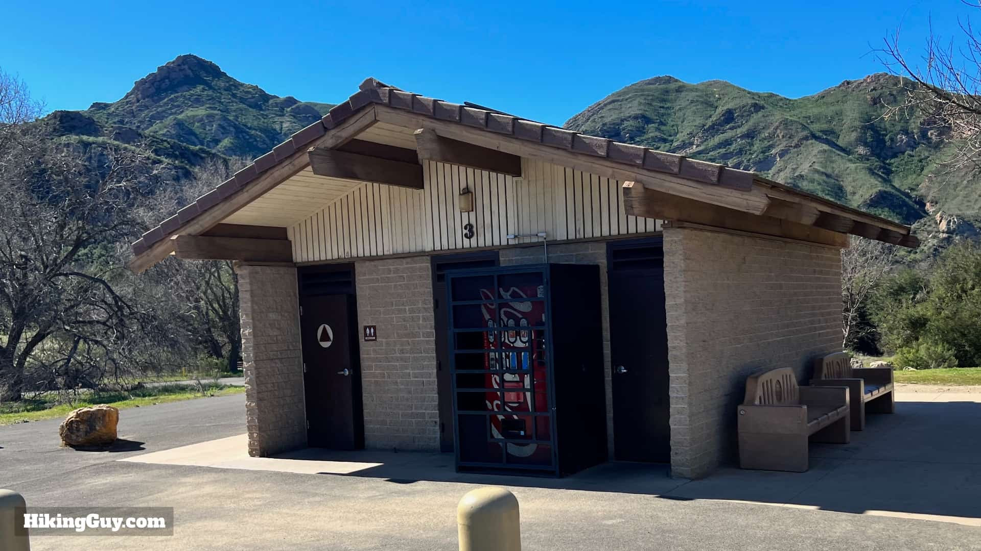 Restrooms available near the trailhead
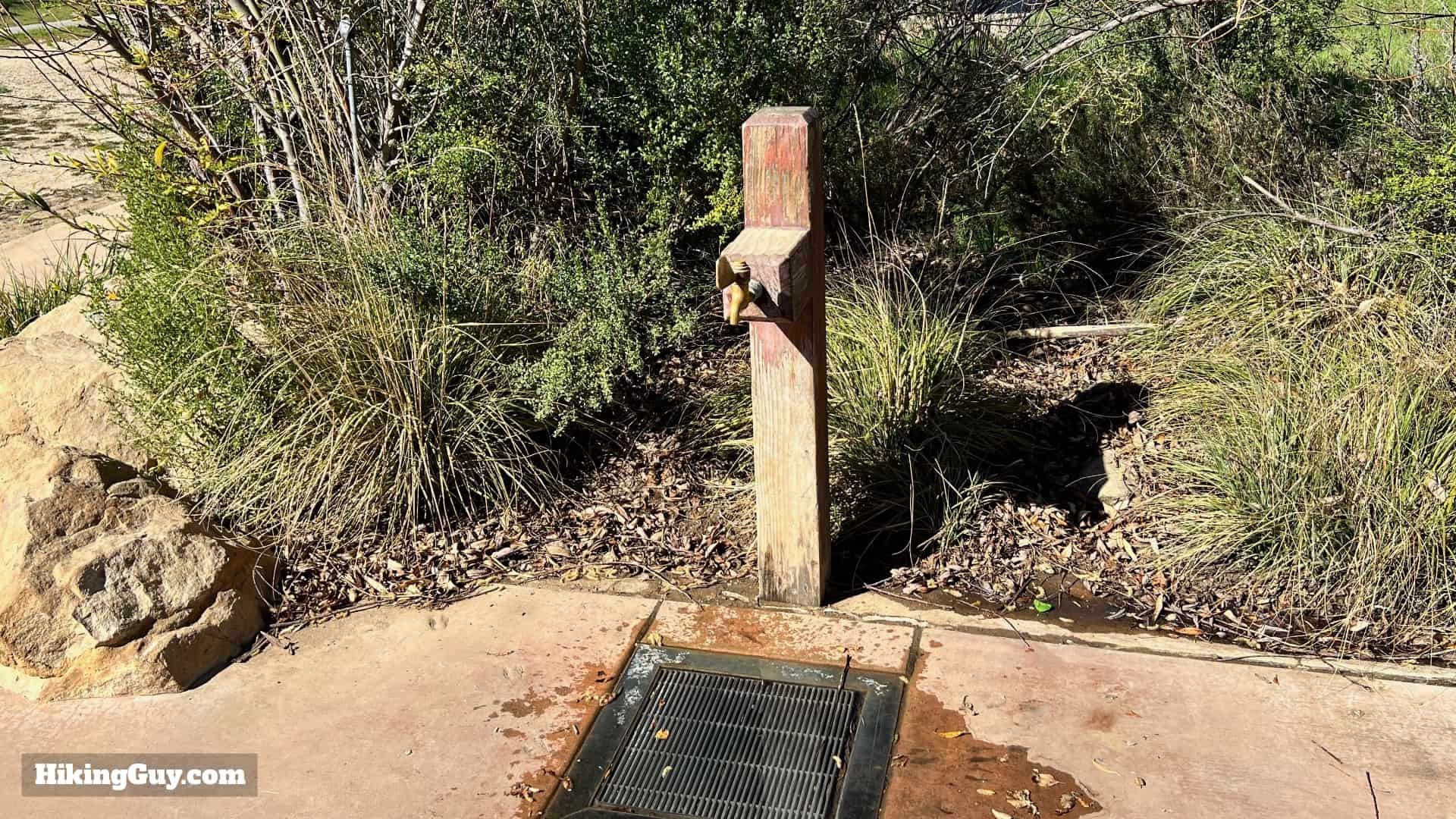 Water fill station at the trailhead
Essential Gear for Your Malibu Creek Adventure
The hike to Malibu Creek Rock Pool and the MASH site is generally considered easy, suitable for most fitness levels. Comfortable fitness attire or light hiking gear will suffice. While creek crossings are part of the trail, you should be able to navigate them without getting your feet wet. However, wearing water-resistant shoes is advisable, just in case. The area can get very hot, especially during summer months, so bringing at least 1 liter of water per person is crucial.
For those looking to enhance their hiking experience, exploring updated gear options is always a good idea.
Navigating Malibu Creek State Park Trails
Malibu Creek State Park boasts well-maintained and clearly marked trails, making navigation easy.
 Trail map for Malibu Creek hike
For interactive trail maps and detailed route information, consider exploring online resources.
Interactive Map
GPX Download Print & View on CalTopo Navigation Gear Recommendations
Trail Elevation Profile
While the elevation profile might appear slightly intimidating, the uphill climb is minimal, only around 160 feet. The majority of the hike is relatively flat, with a gentle incline in the middle. The return journey mirrors the outbound path.
3D Trail Map Preview
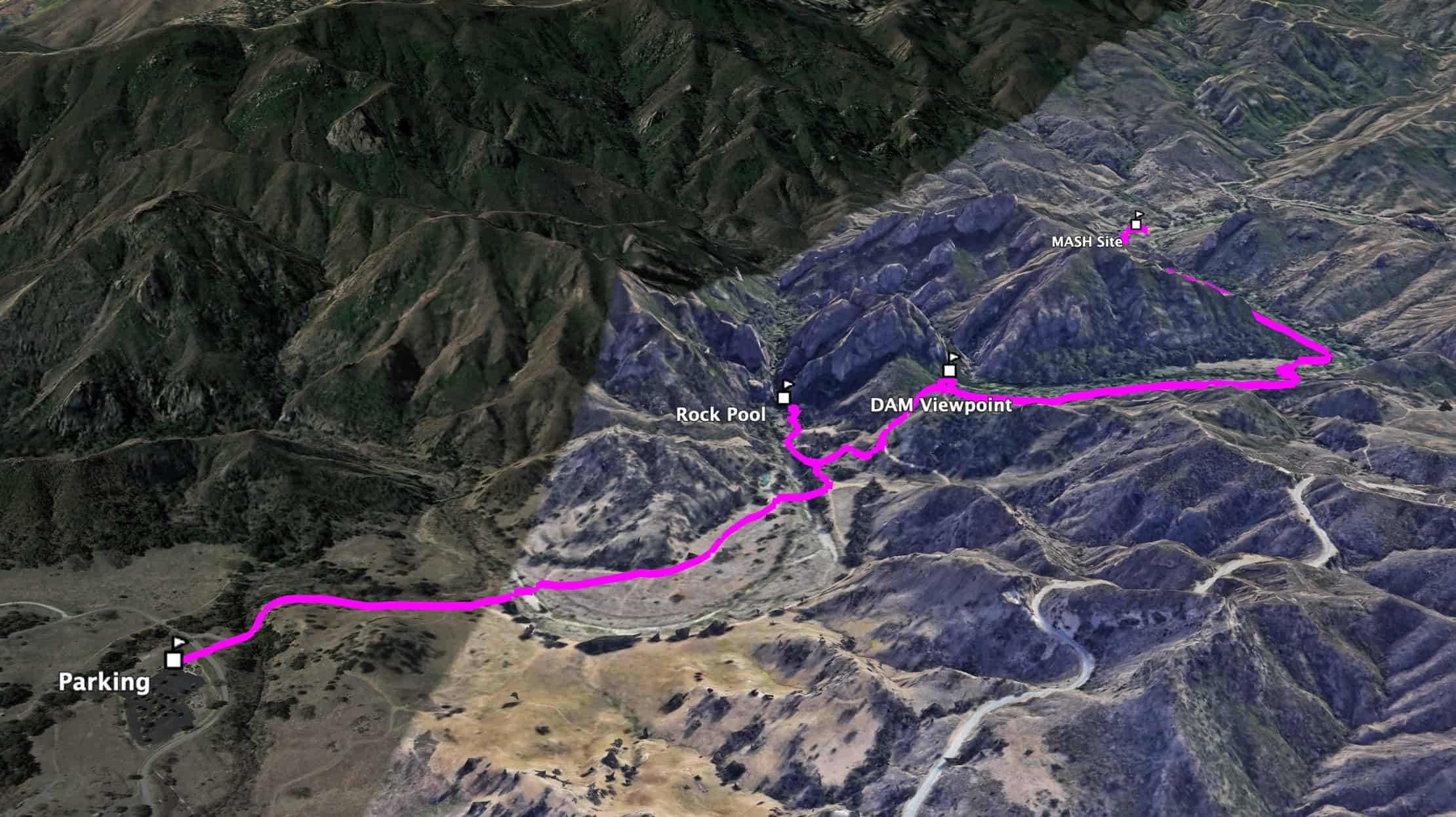 3D map of Malibu Creek hiking route
The hike follows an out-and-back route. Starting on the left of the 3D map, the trail leads first to the Rock Pool, then to the scenic Century Lake dam viewpoint, and finally winds into Triunfo Canyon, home to the MASH site.
A Glimpse into Malibu Creek’s Rich History
 Historic view of Malibu Creek gorge
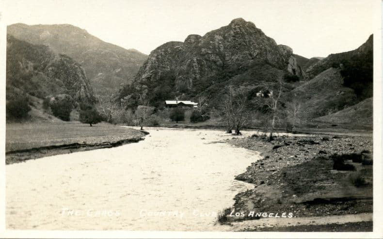
As you hike, you’ll be walking through a landscape steeped in history. The stunning gorge carved by Malibu Creek looks remarkably similar to this 1911 photo. The building in the old photograph was part of the Bavarian alpine-style lodge of Crags Country Club, a once-popular retreat for wealthy hunters. The Great Depression and changing tastes led to its closure in 1936, and the lodge is no longer standing. Photo Eric Wienberg Collection- In 1946, 20th Century Fox Studio acquired the former country club to establish a “shooting ranch,” a versatile outdoor filming location. This area has served as the backdrop for countless films and television shows, featuring legendary stars like Cary Grant, Marlon Brando, and Elvis Presley.
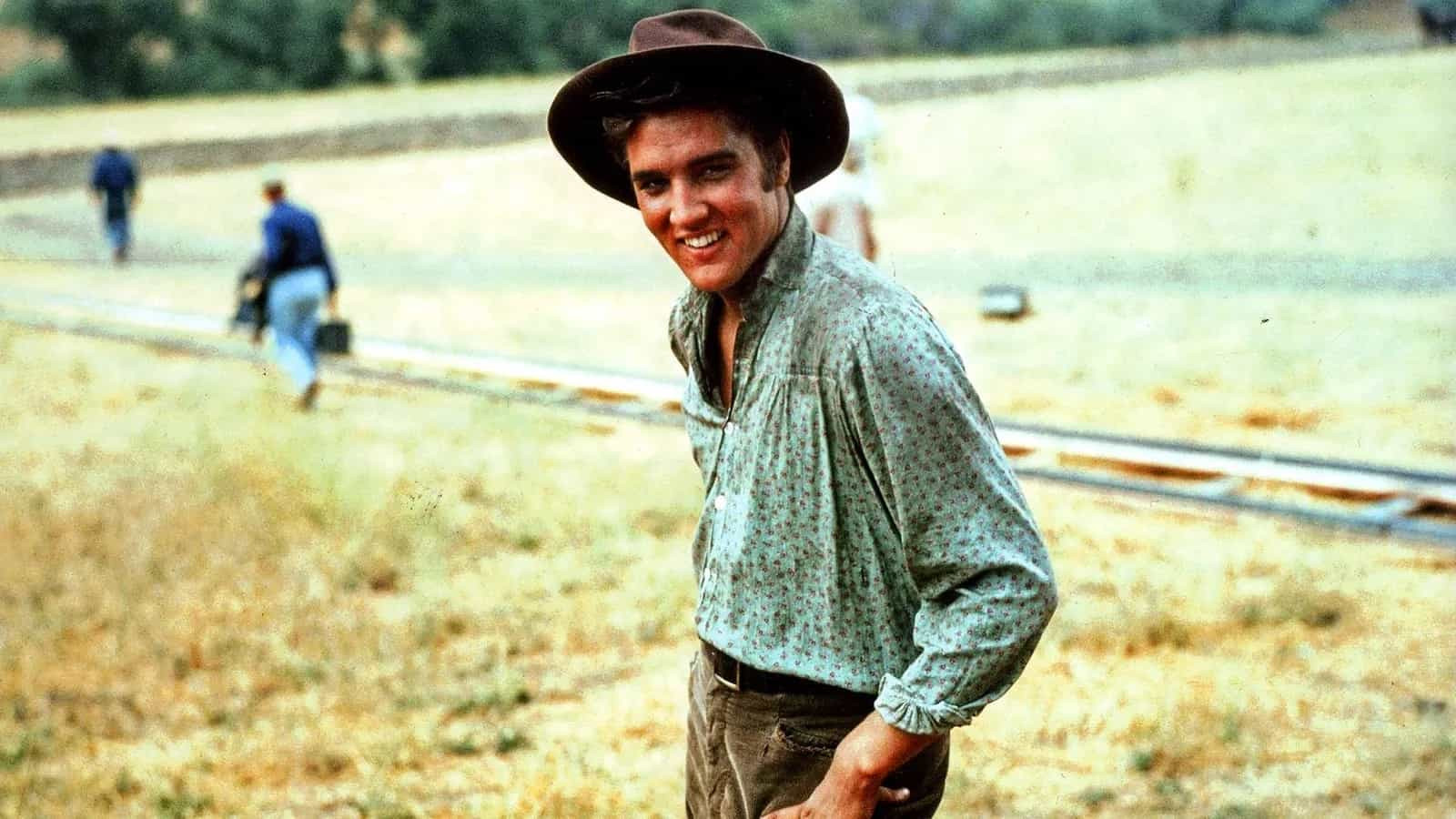 Elvis Presley filming at Malibu Creek State Park at Malibu Creek State Park, highlighting the area’s long history with Hollywood. Photo Marc Wanamaker/Bison Archives
You’ll culminate your hike at the MASH outdoor set, where remnants of the iconic TV show remain, accompanied by informative displays. For those unfamiliar, MASH was a beloved 1970s TV series based on a movie and book about the Korean War. The opening sequence of the TV show beautifully captures the peaks and valleys of this very hiking area. Interestingly, keen viewers can often identify scenes filmed in the park by noticing the actors squinting in the California sun.
The State of California acquired the land and established the park in 1976. While filming continues sporadically, the park’s recognizable landscape sometimes limits its use as a stand-in for other locations.
Step-by-Step Directions to the Rock Pools and MASH Site
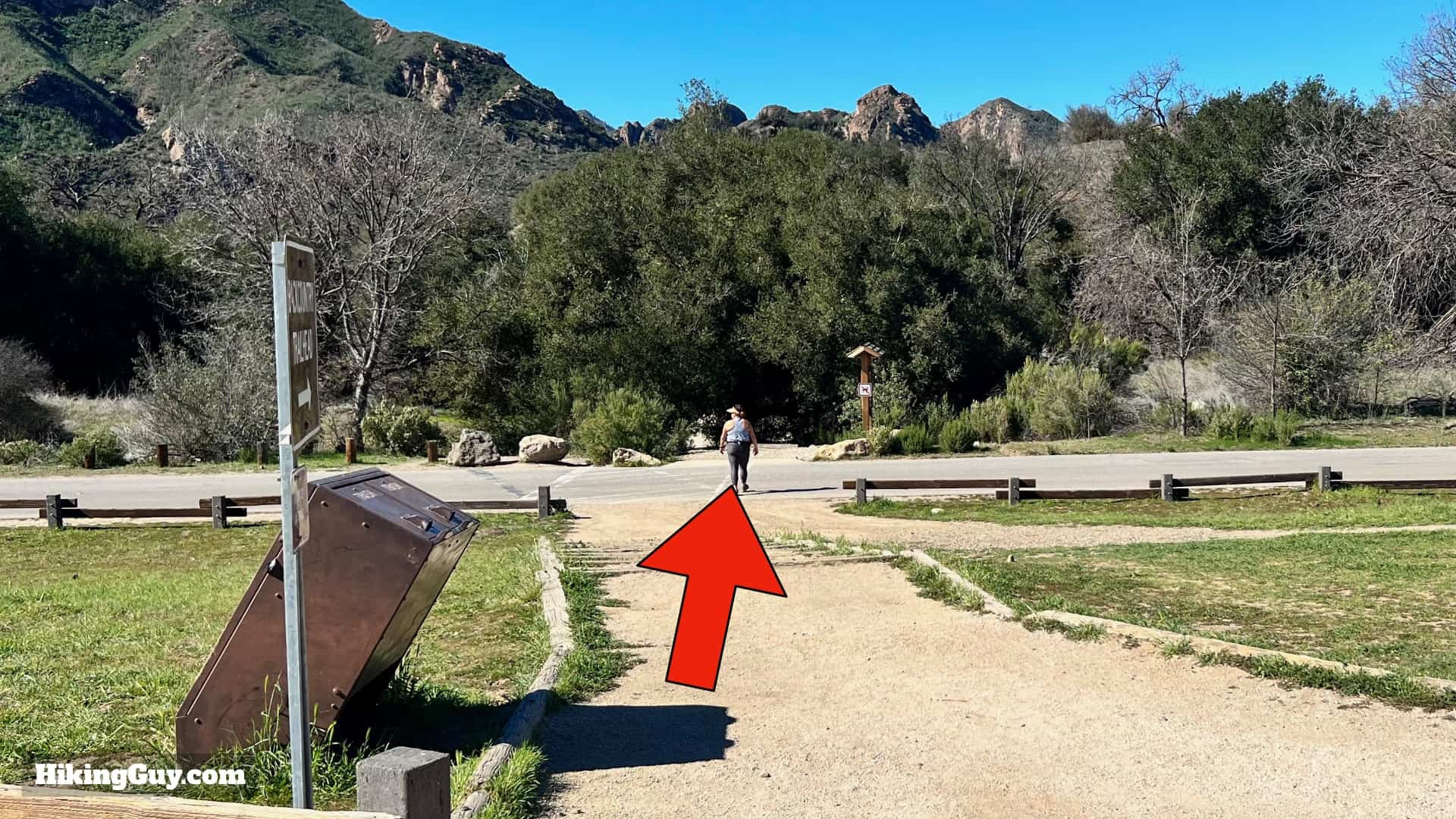
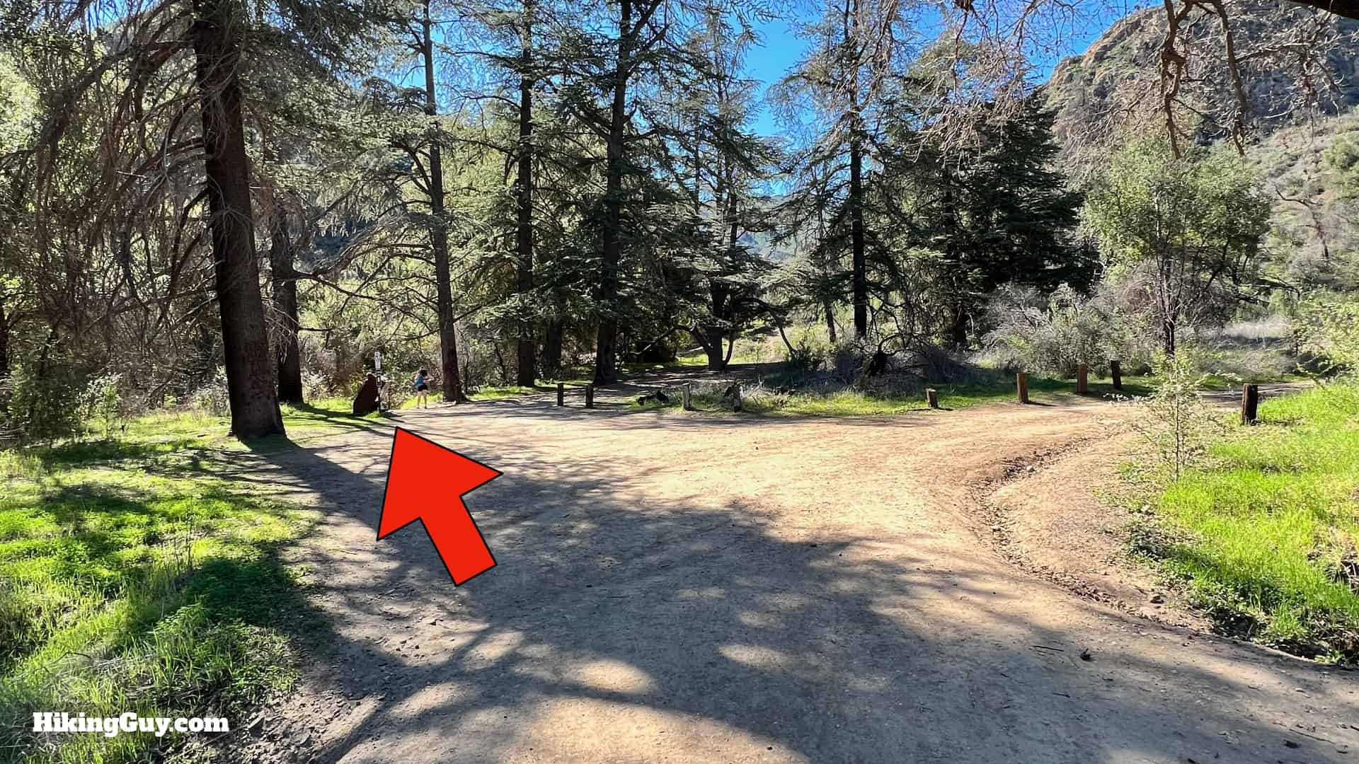
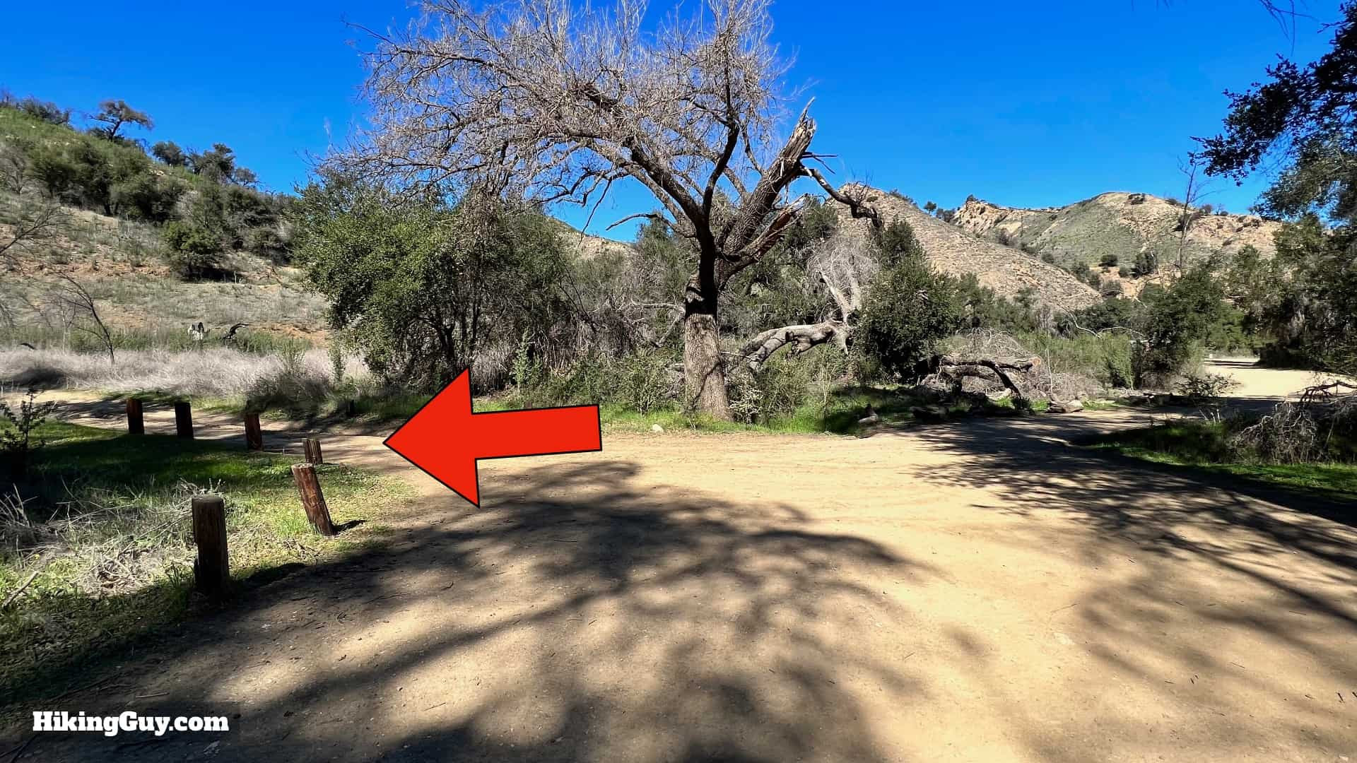
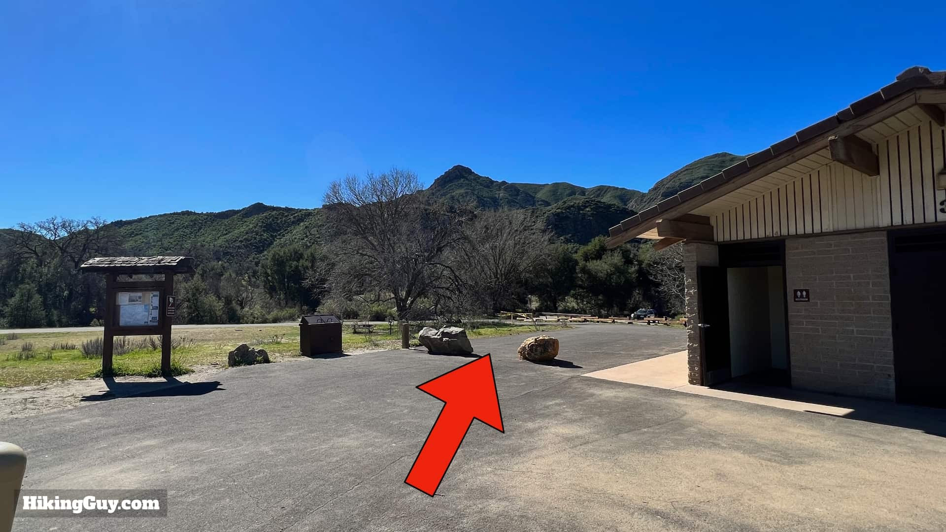 Trail start behind the restrooms
The adventure begins behind the restrooms at the edge of the parking lot.
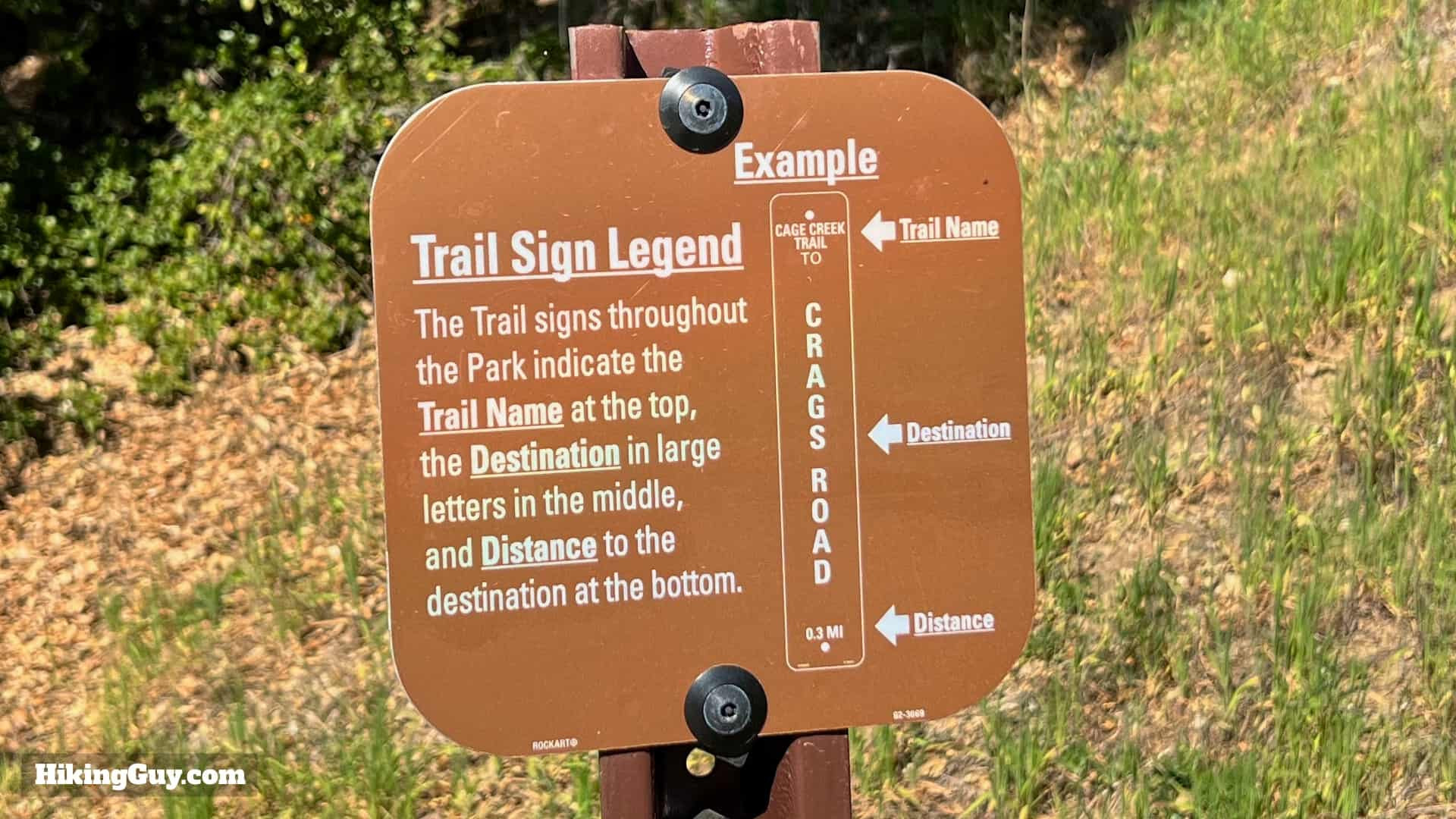
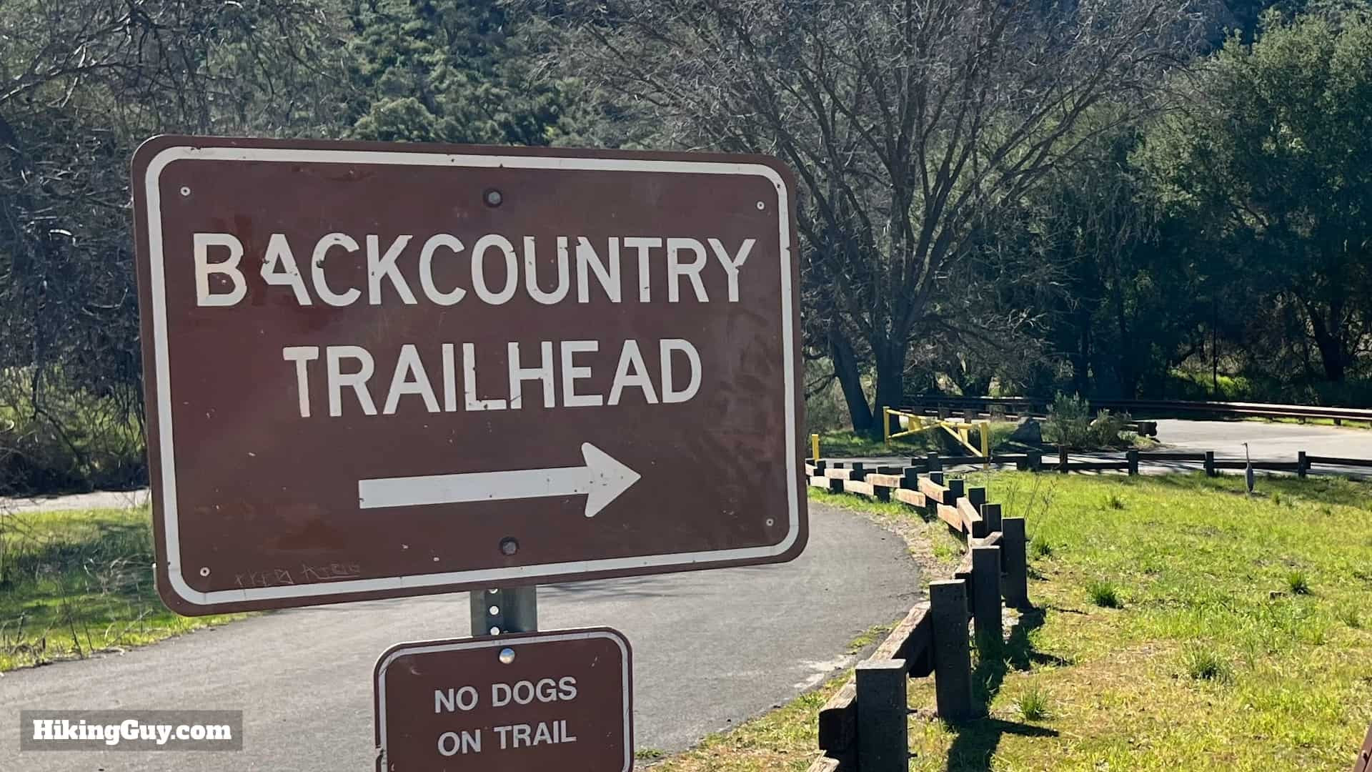 Trail signs at the trailhead
Follow the signs to guide you.
 Crossing the street to reach the trail
Cross the street behind the restrooms.
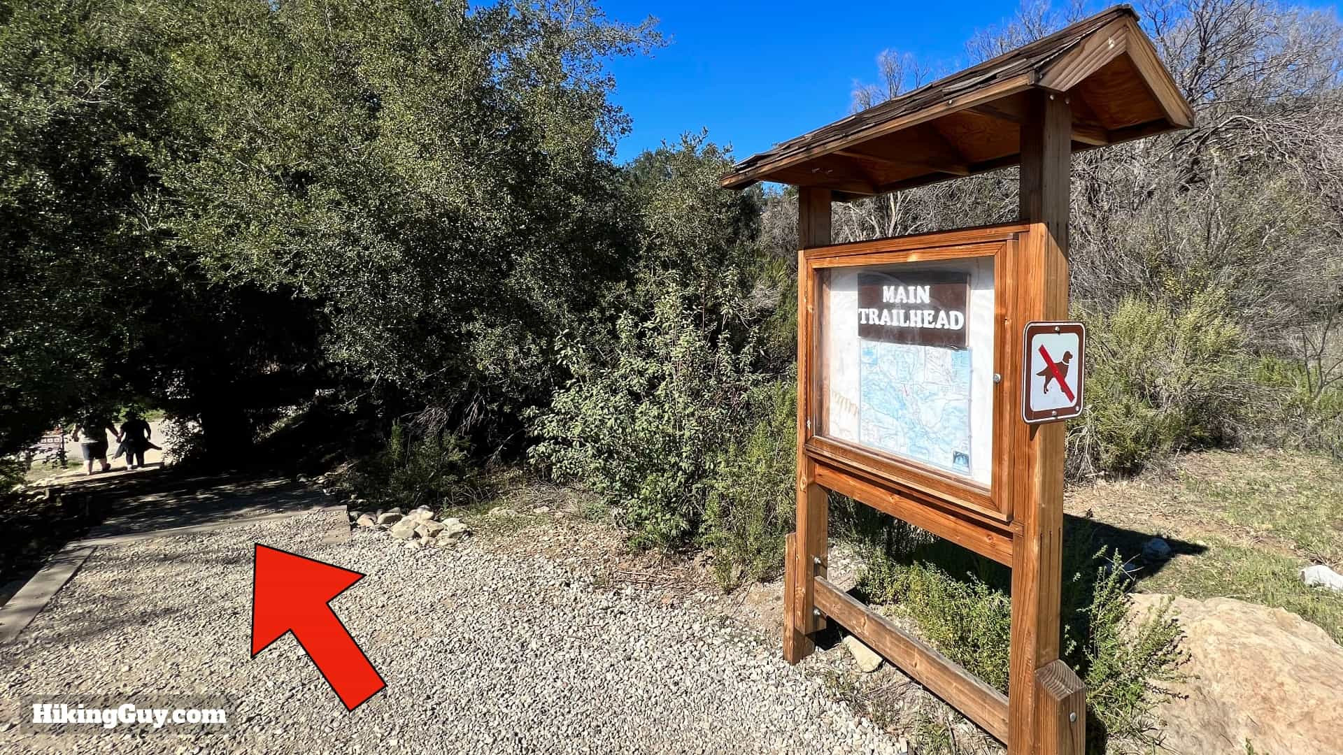 Trail information board
You’ll encounter a trail information board. Descend the steps onto the road (closed to vehicles).
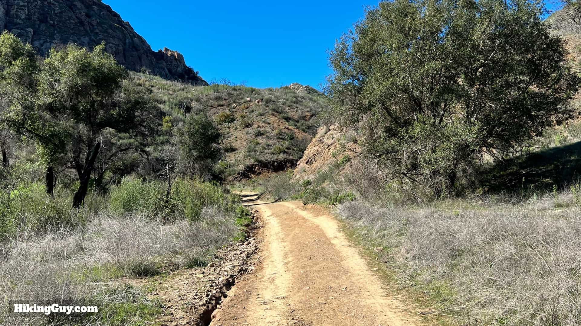
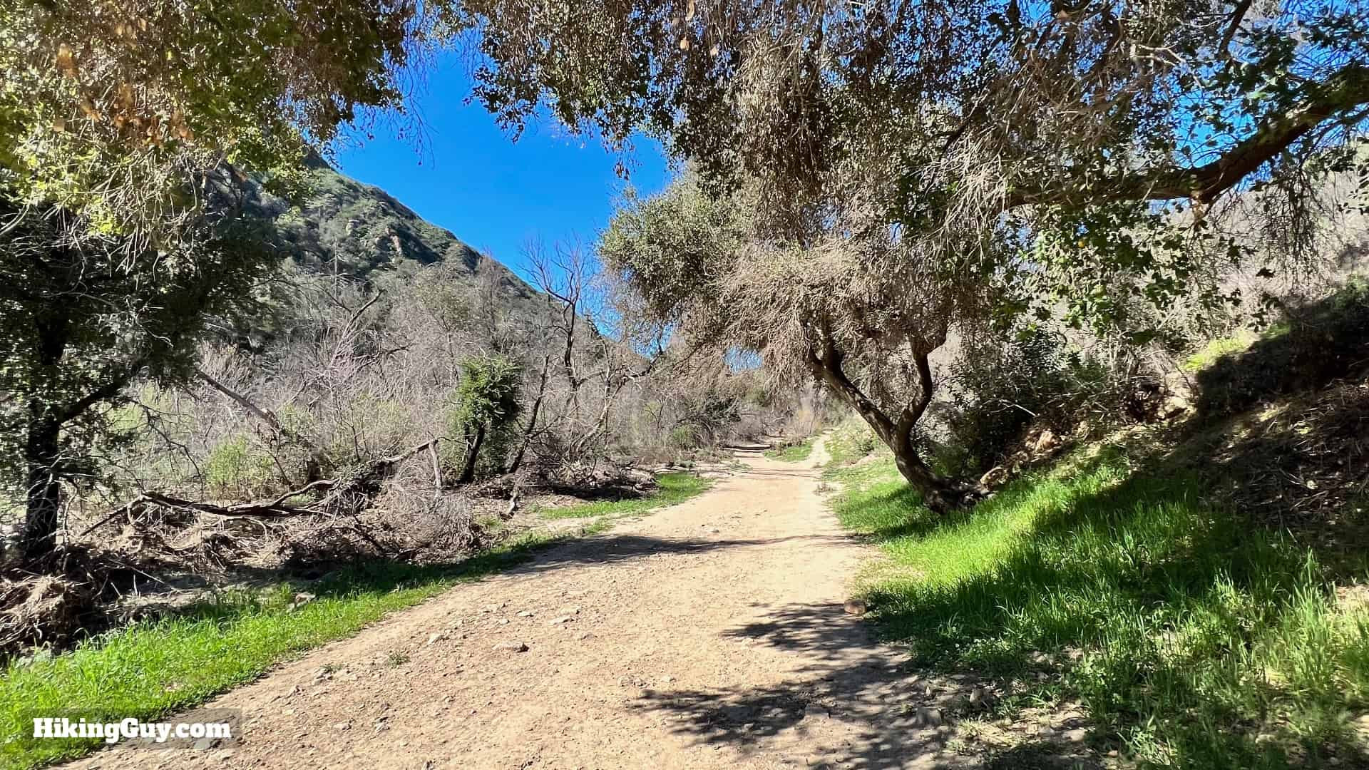
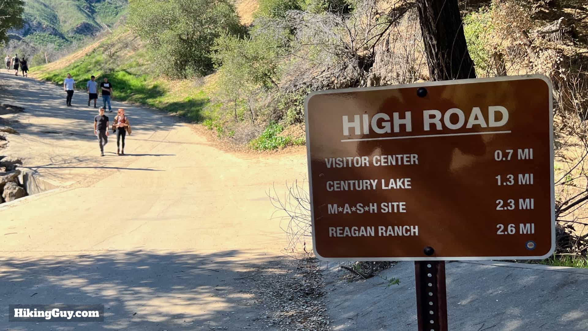 Hiking on Crags Road
The trail is well-signposted.
 Continue along Crags Road
Continue along Crags Road.
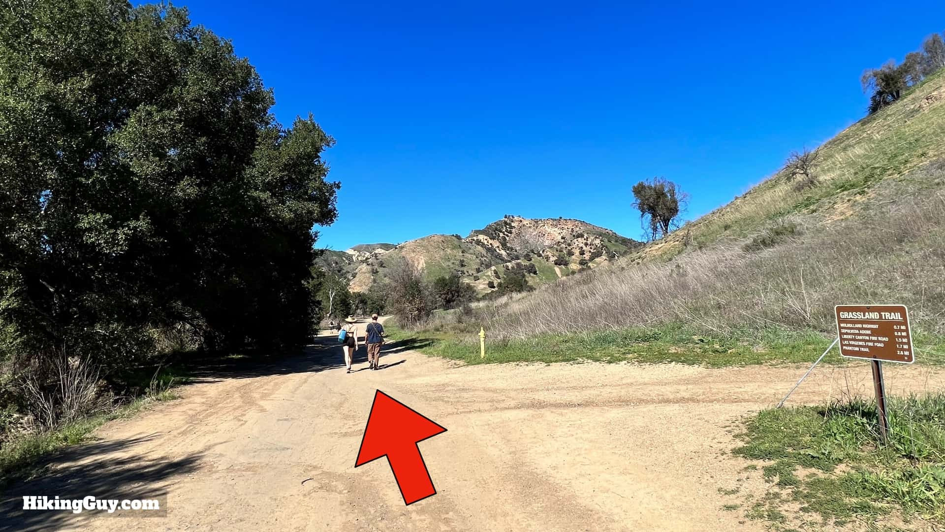 Passing the Grassland Trail junction
Pass the Grassland Trail junction on your right.
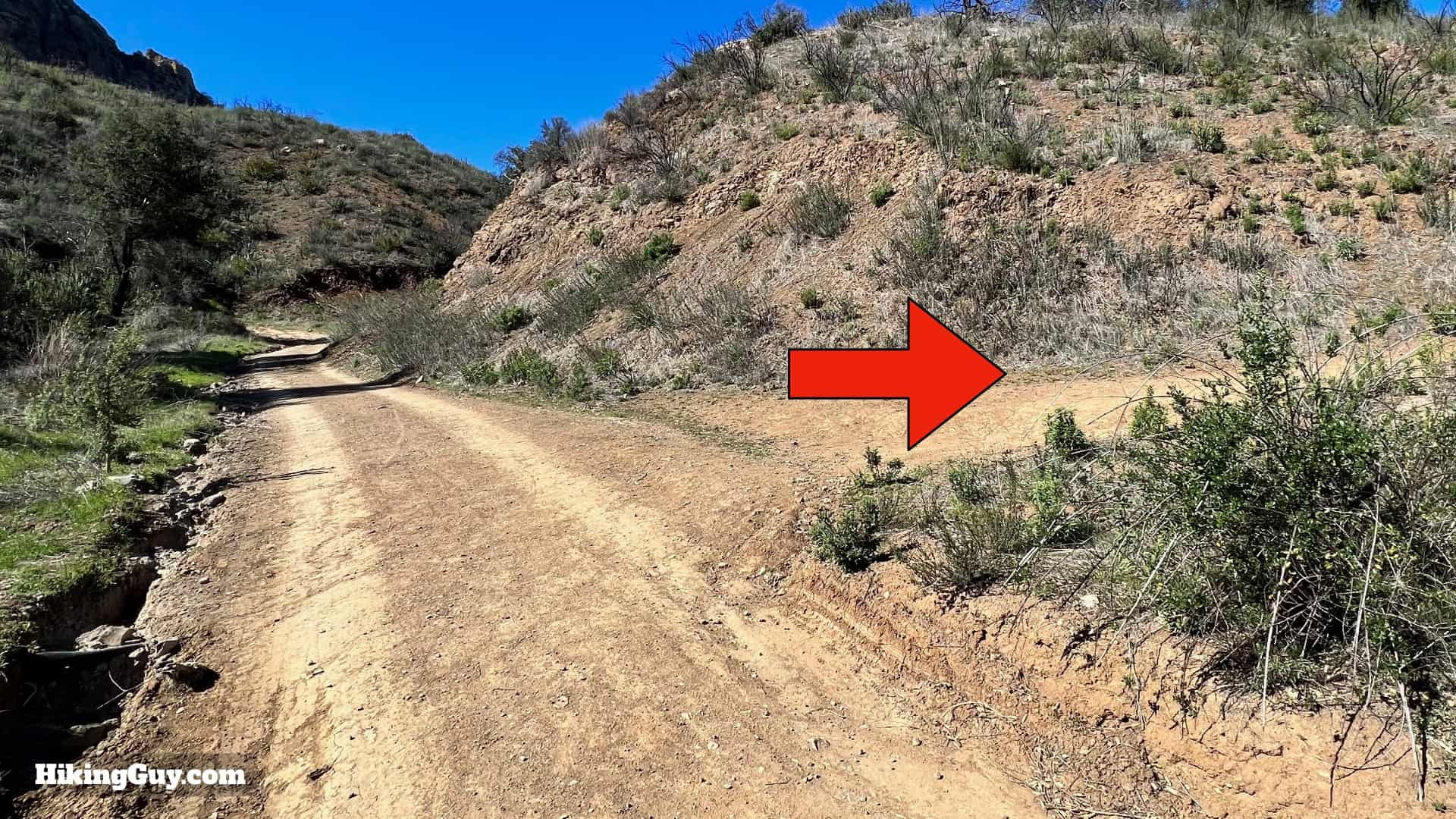
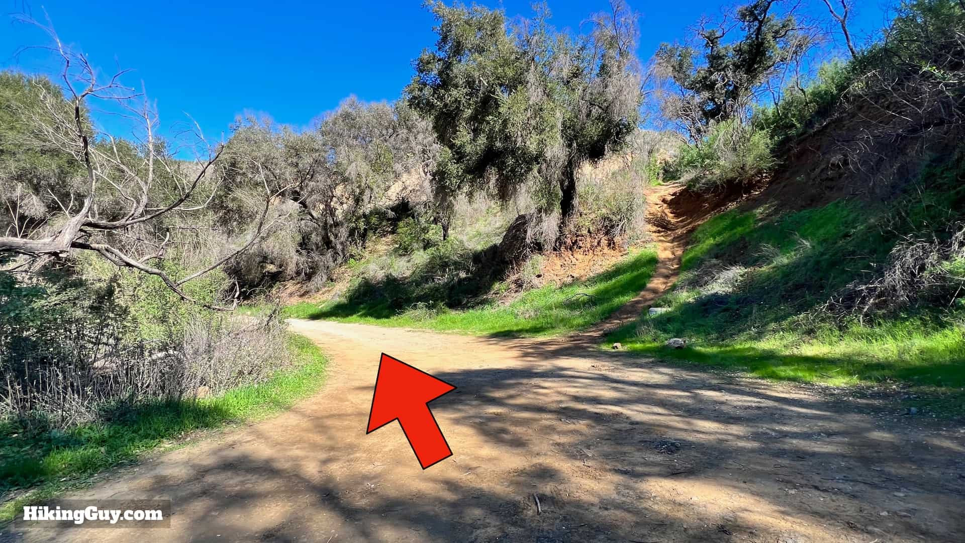
 Turnoff from Crags Road
Shortly after the Grassland Trail junction, look for this turnoff. This path veers away from the busier Crags Road.
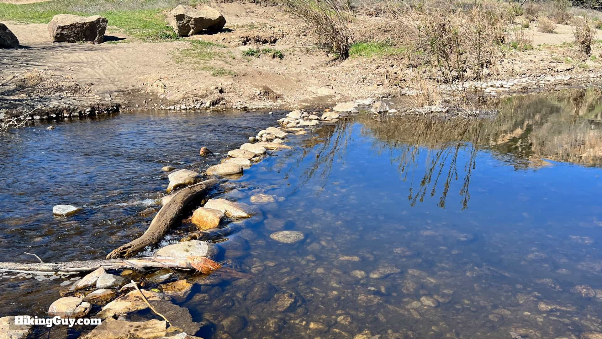 Easy creek crossing
Navigate the simple creek crossing.
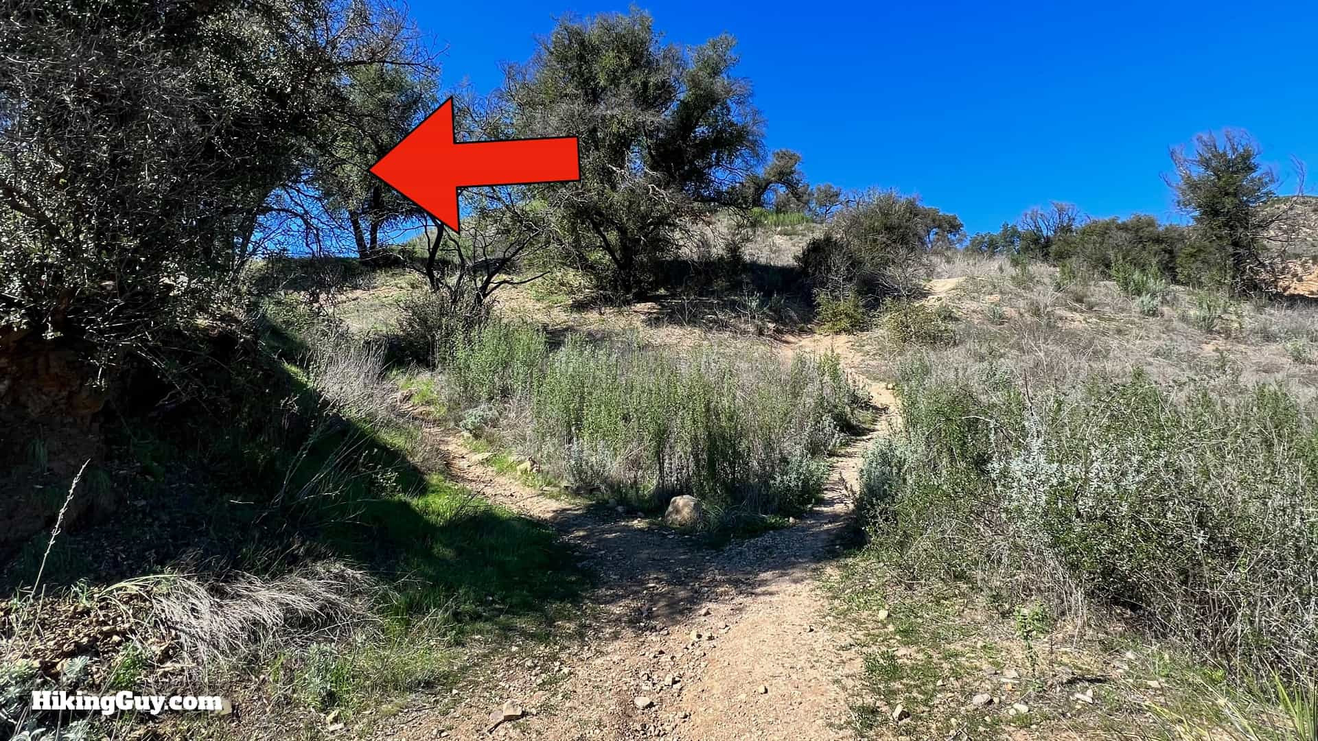
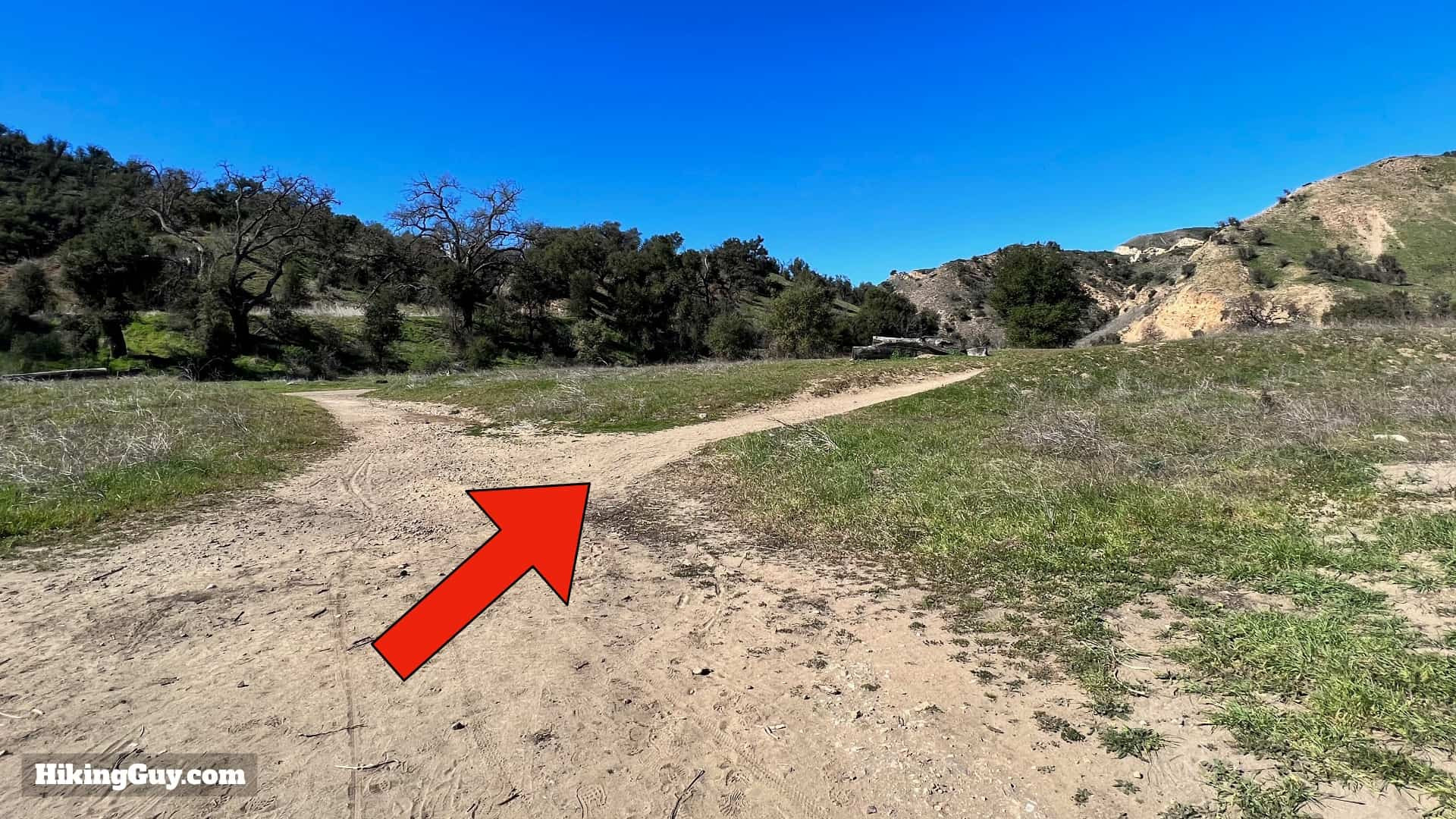 Trail junction – keep right
Keep right at the subsequent junction.
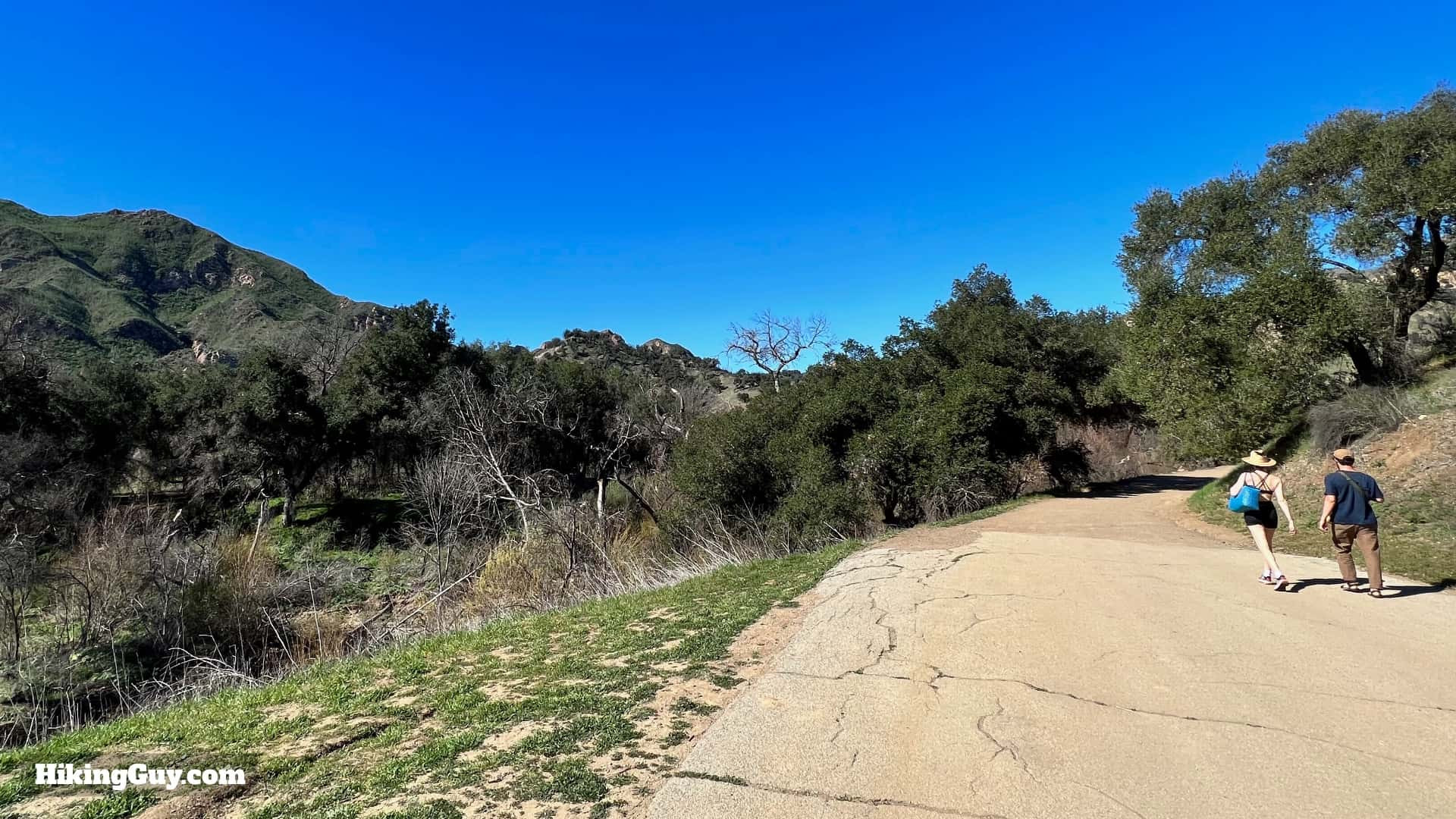
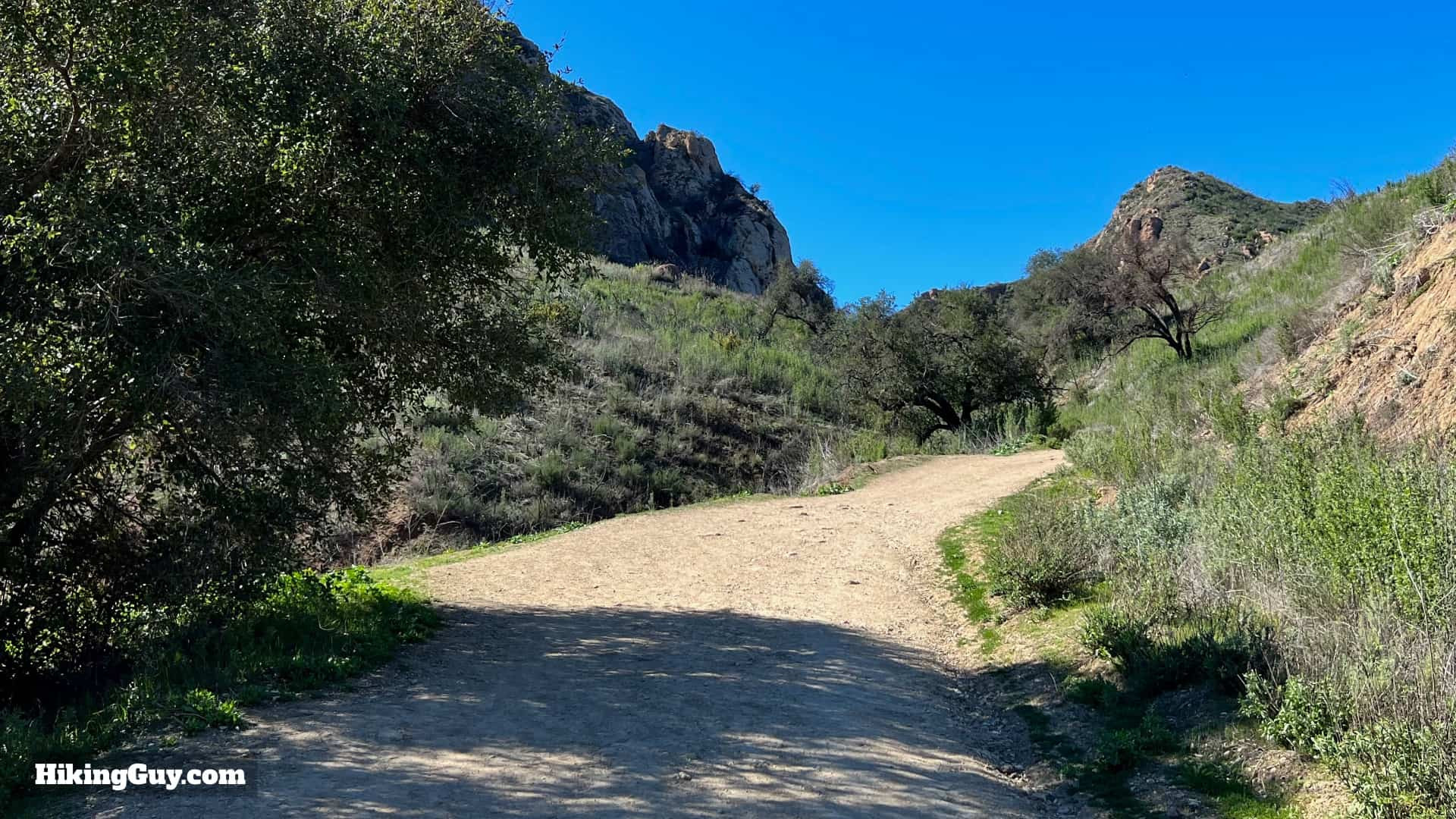
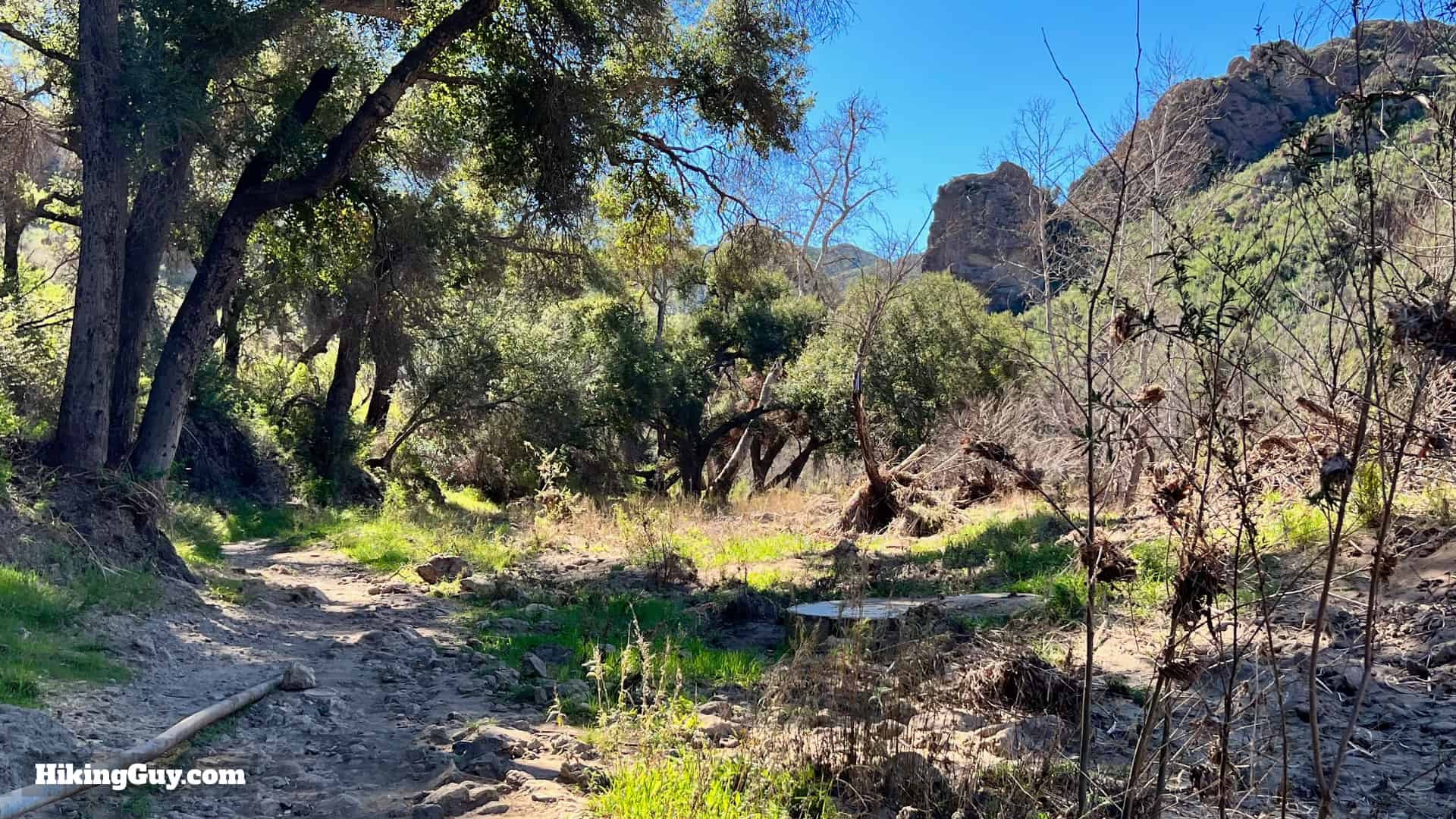
 Hiking along the creek towards Goat Buttes
You’ll now be hiking parallel to the creek, away from the road. Follow the dirt path and admire the Goat Buttes views.
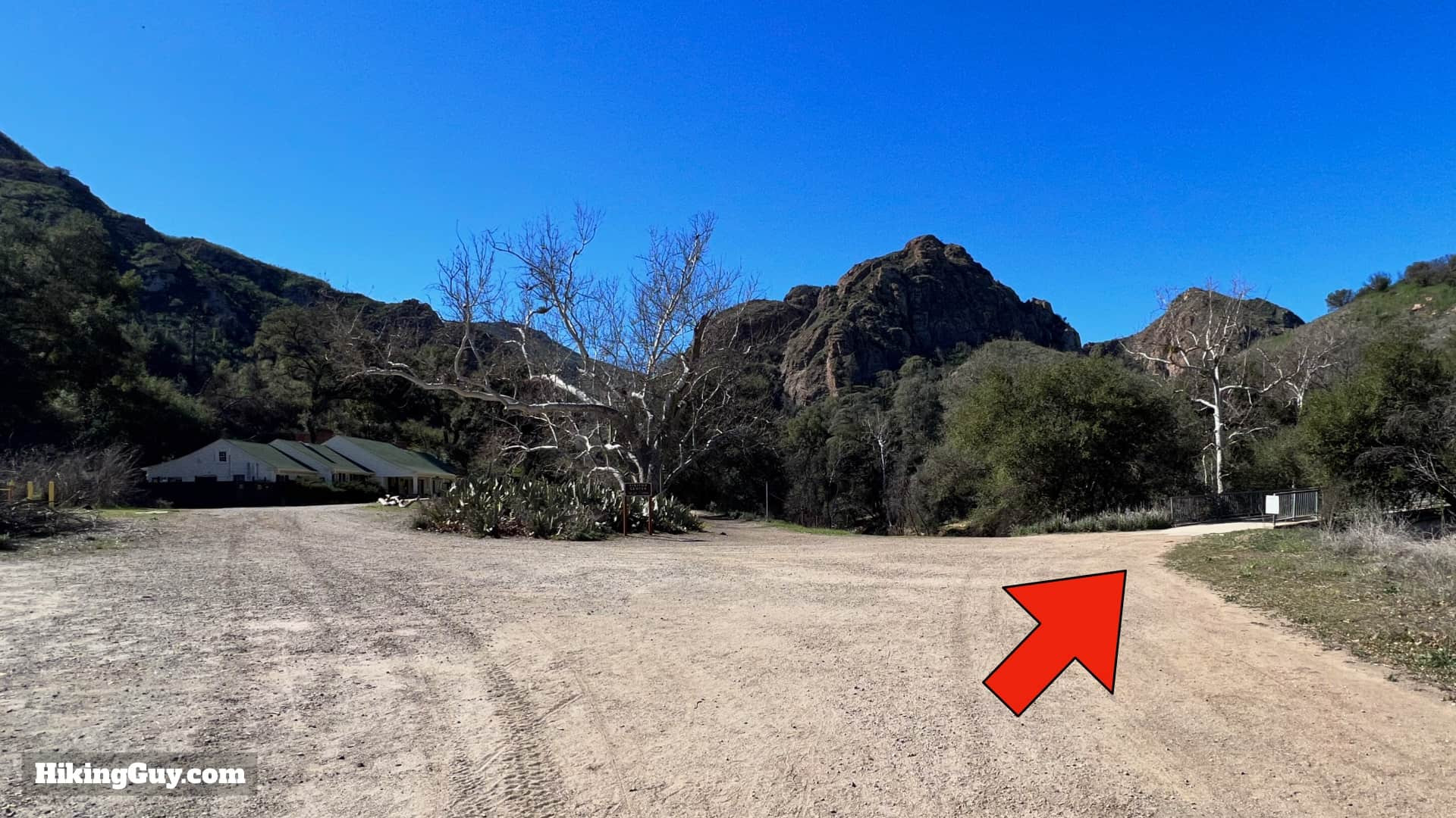 Hard right turn towards Visitor Center
Upon reaching the Visitor Center area, make a sharp right turn.
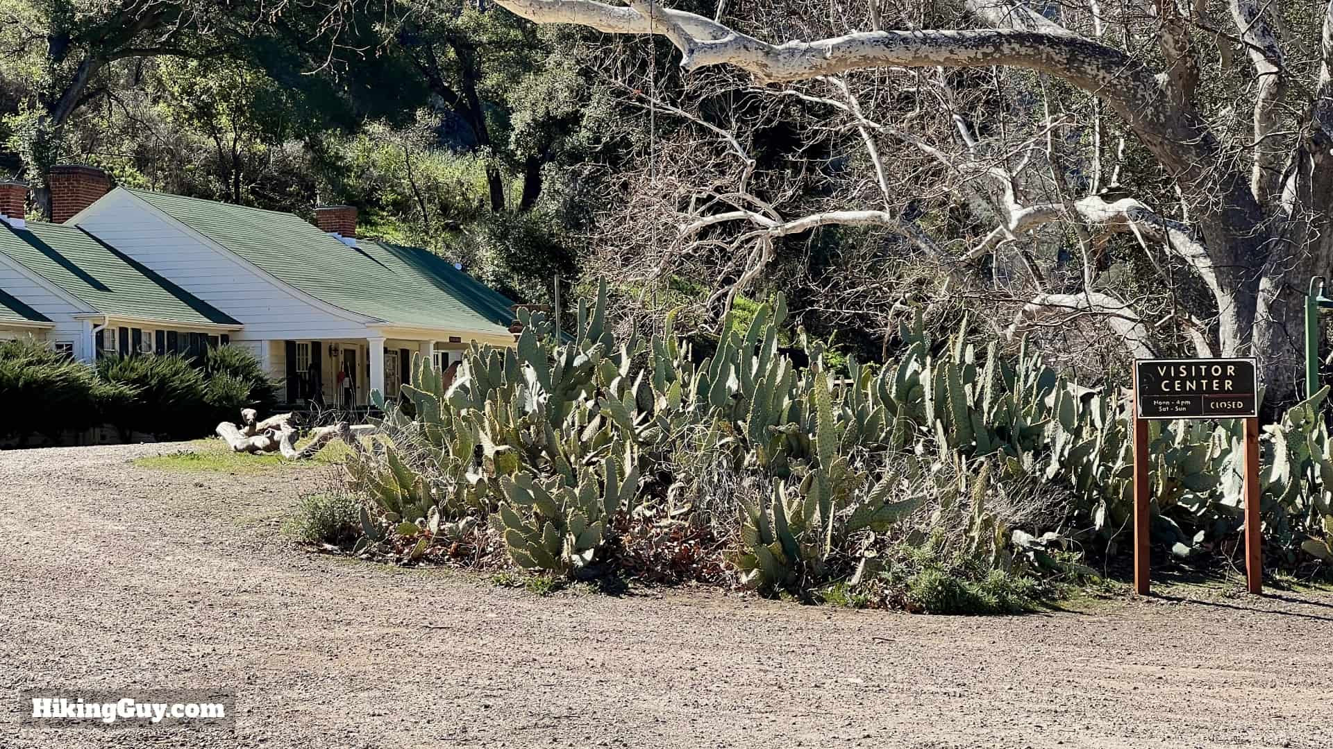 Malibu Creek State Park Visitor Center
If the Visitor Center is open, consider a brief stop.
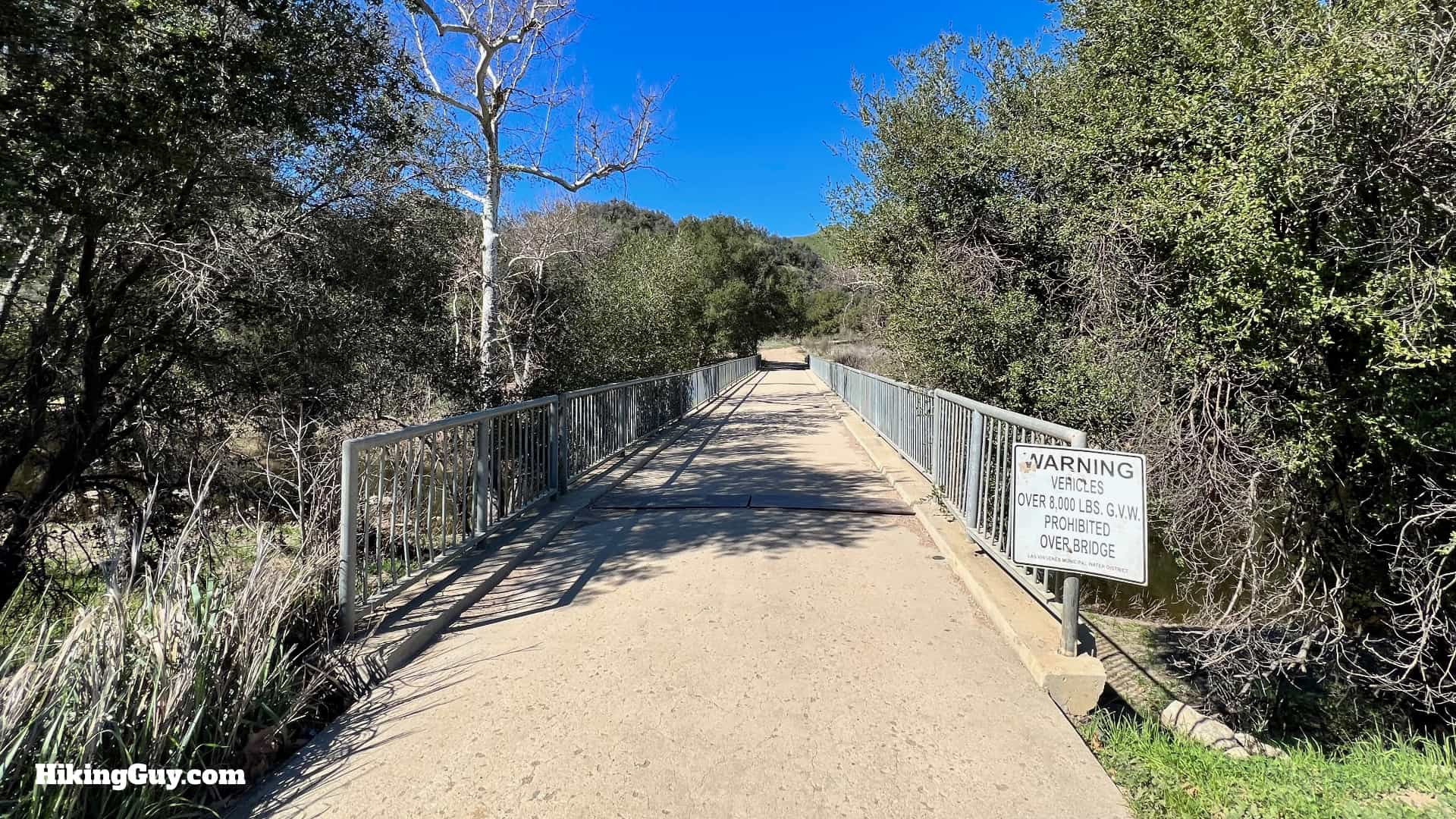 Bridge crossing near Visitor Center
Otherwise, proceed across the bridge.
 View of Malibu Creek gorge from the bridge
The bridge offers some of the most stunning views down Malibu Creek. The Rock Pools are nestled within the gorge ahead.
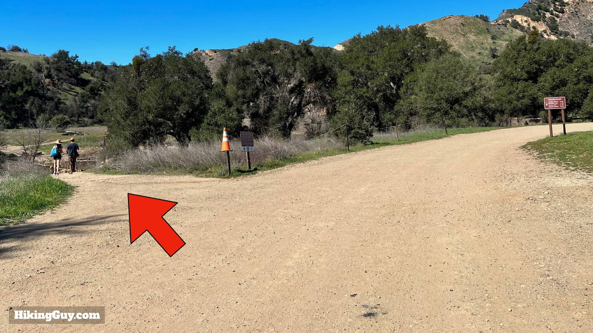
 Hard left turn after the bridge
After crossing the bridge, make a sharp left.
 Junction towards Malibu Creek shores
At the junction, turn left again, heading down towards the banks of Malibu Creek. Note that for the return trip, you’ll take the road to the right at this junction.
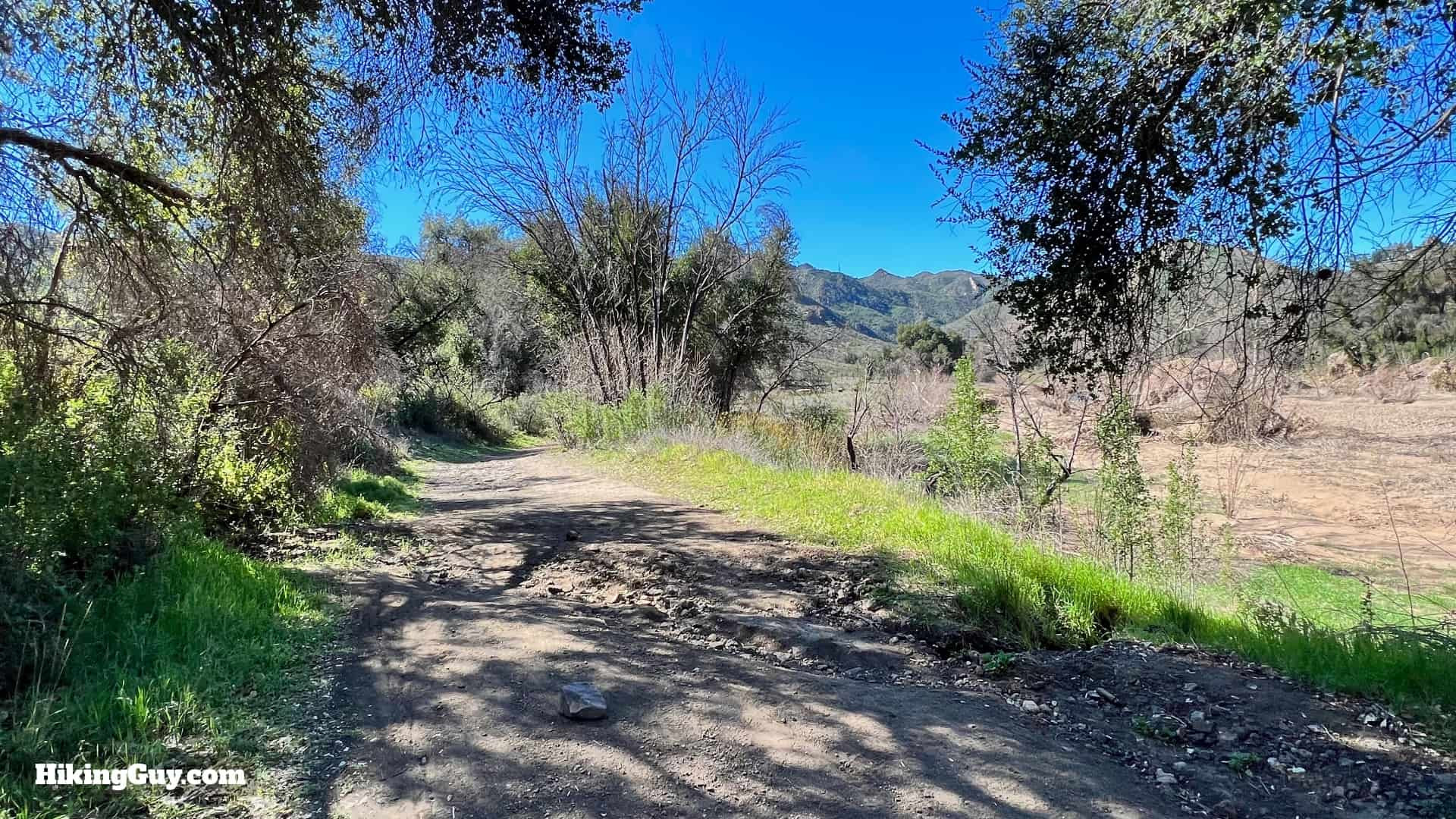
 Trail along Malibu Creek
The trail now transforms into a more traditional hiking path, closely following the creek.
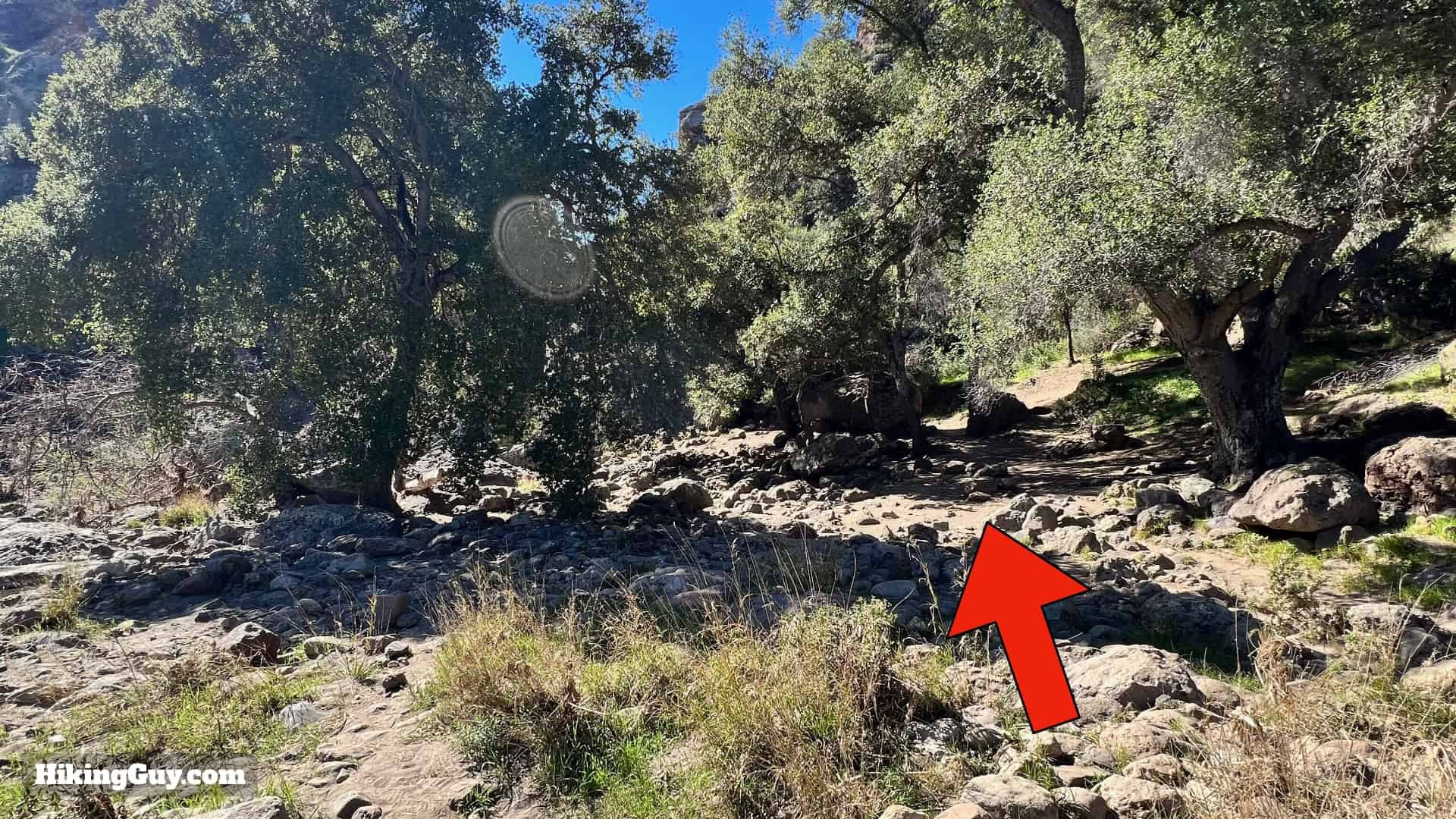 Following the creek upstream
Continue upstream along the creek.
 Arriving at Malibu Creek Rock Pools
In a short while, you’ll arrive at the magnificent Rock Pools.
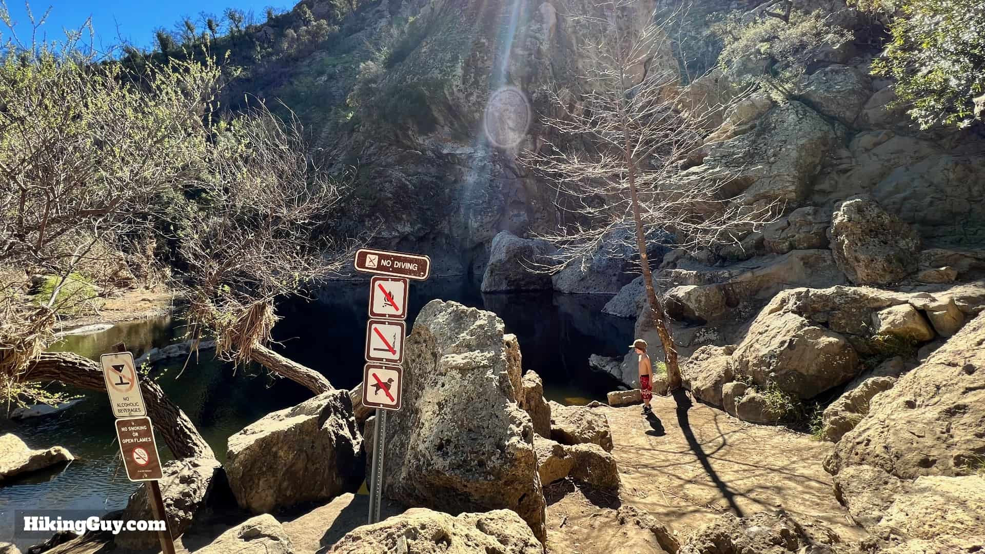
Discovering the Malibu Creek Rock Pool
The Malibu Creek Rock Pool is a natural wonder, a series of pools carved into the creek bed by centuries of flowing water. The smooth, volcanic rock formations create a unique and picturesque setting for swimming and relaxation. The cool, clear water invites you for a refreshing dip, especially welcome after a hike. Swimming is permitted in the Rock Pools, but diving is prohibited due to shallow areas and underwater rocks.
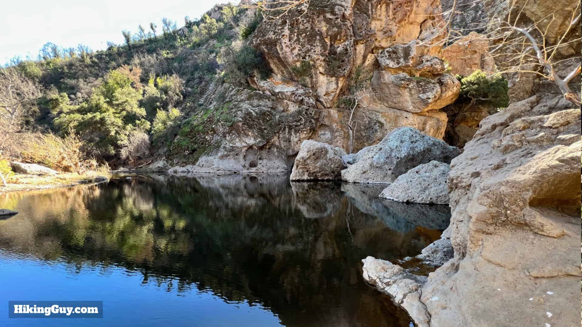 Scenic view of the Rock Pools swimming hole
While the Rock Pools are incredibly inviting, it’s crucial to exercise caution. The surrounding cliffs are tempting to climb, but they are dangerous for inexperienced climbers. Numerous accidents and rescues occur here each year. Admire the cliffs from below and prioritize your safety.
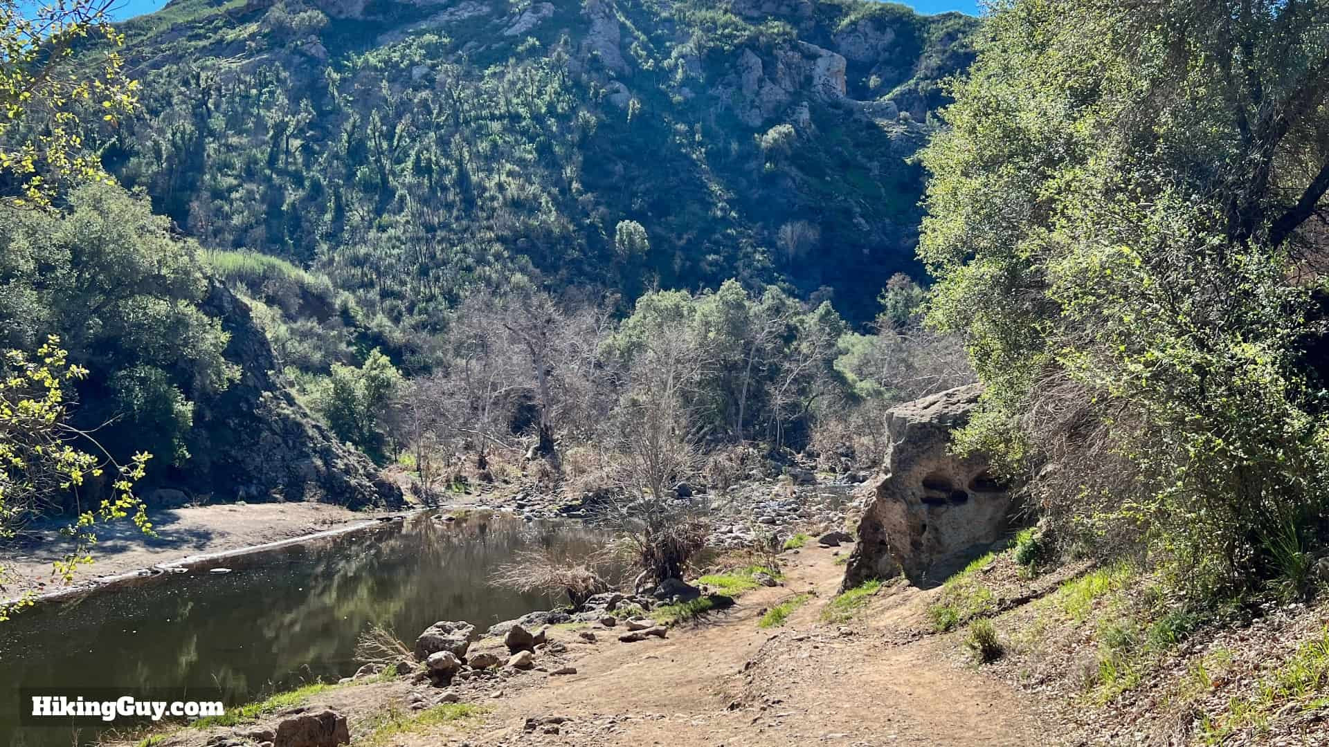
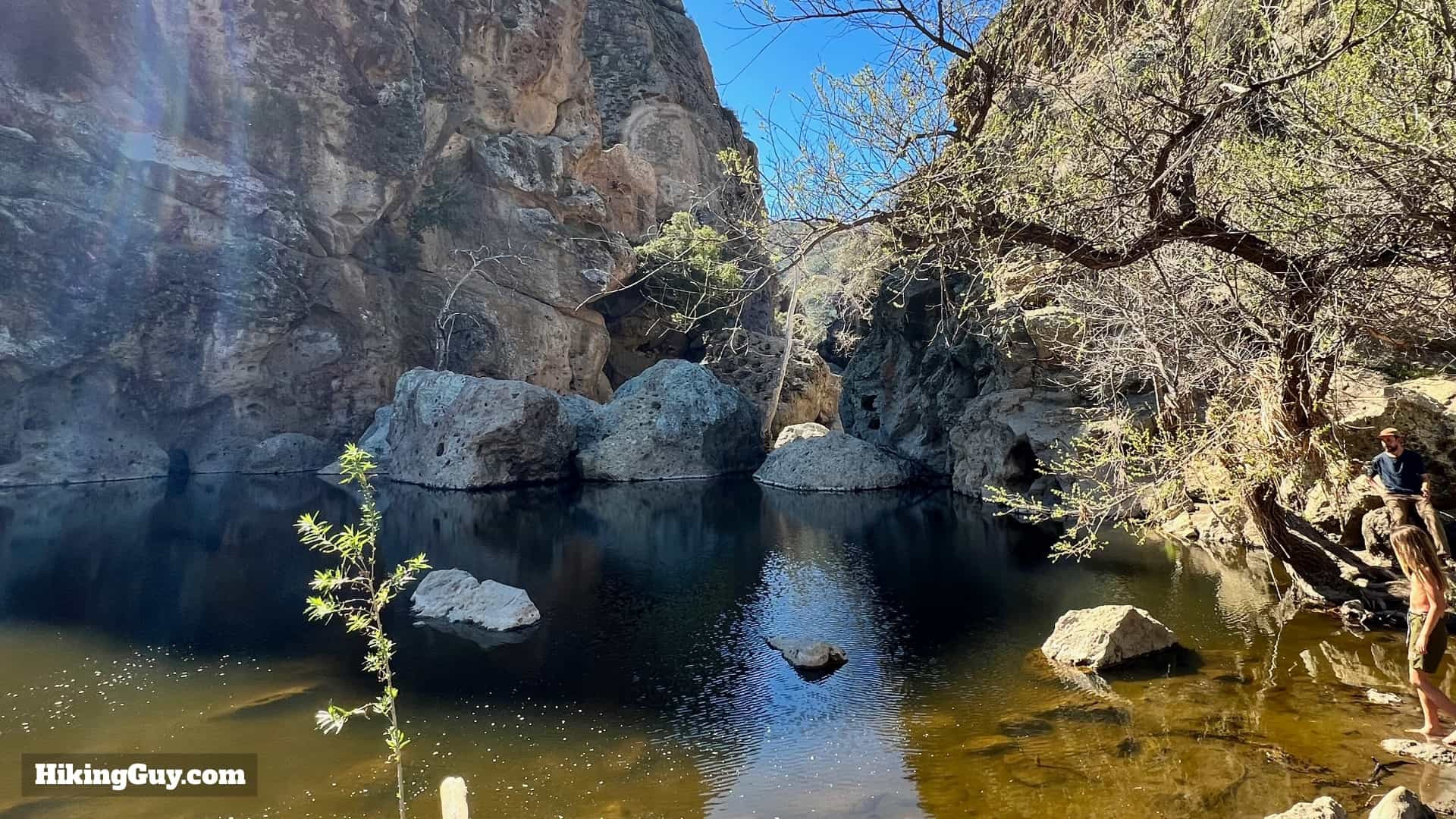 View up the gorge from the Rock Pools
To continue your hike to Century Lake and the MASH site, return to the last junction where you joined the creek.
 Returning to the junction near Rock Pools
Instead of retracing your steps towards the bridge, make a sharp left onto the dirt road.
 Hard left onto the dirt road
Hike uphill on this dirt road.
 Right turn onto the trail uphill
Take the first right onto the trail.
 Rejoining Crags Road
You’ll soon spot Crags Road above you. Take one of the short, steep paths to rejoin Crags Road.
 Continue climbing on Crags Road
Complete the remaining climb on Crags Road.
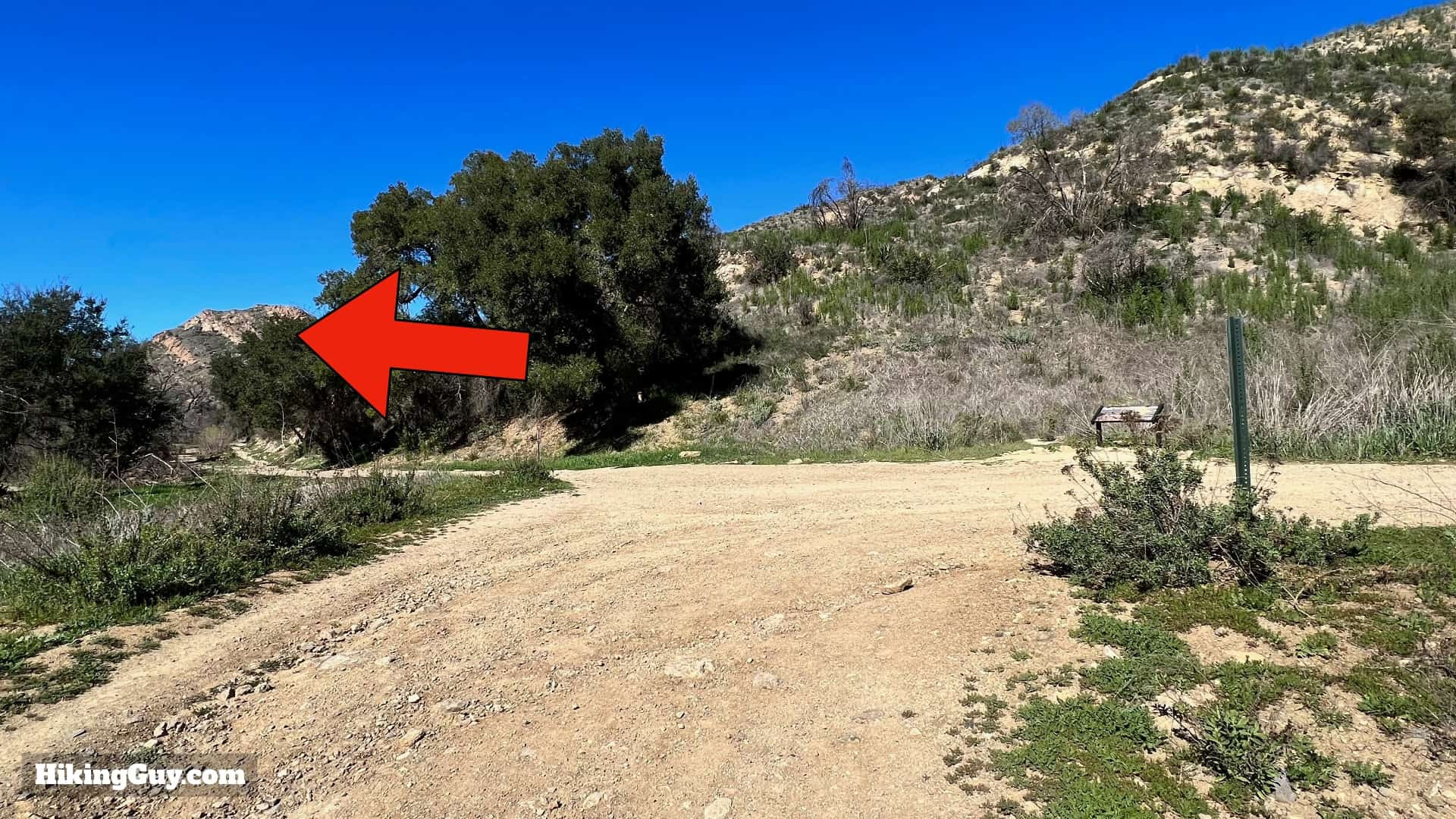
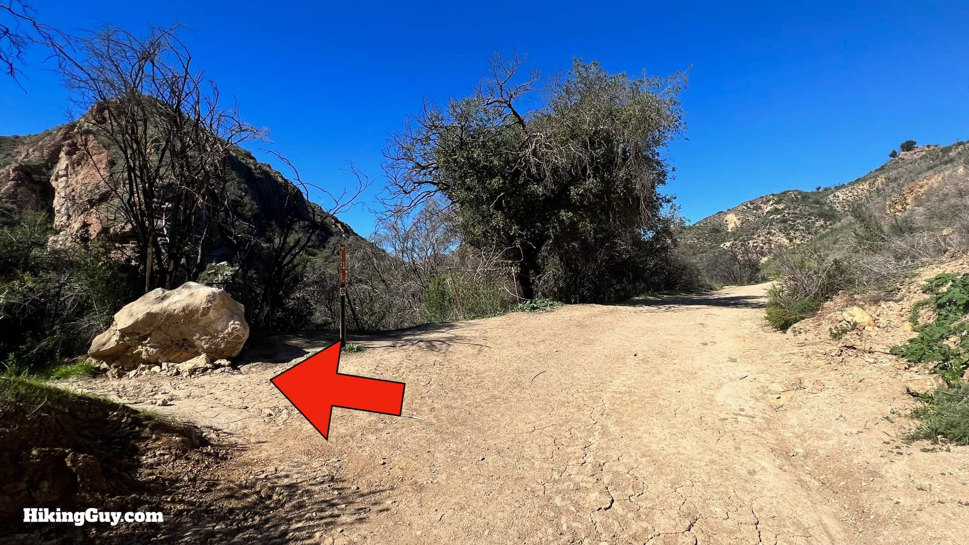 Side trail to Century Lake on the left
At the summit, look for a small trail to Century Lake on your left.
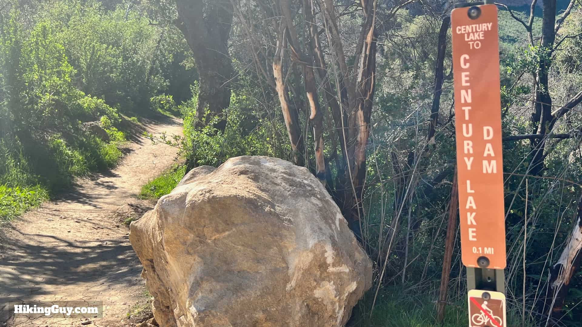 Sign for Century Lake Trail
A sign marks the Century Lake Trail. Keep left and descend.
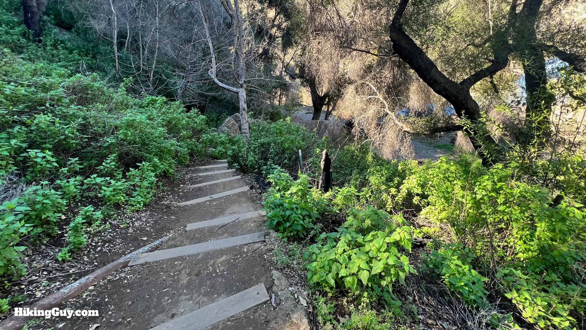 Stairs leading down to Century Lake clearing
Descend some stairs to a small clearing.
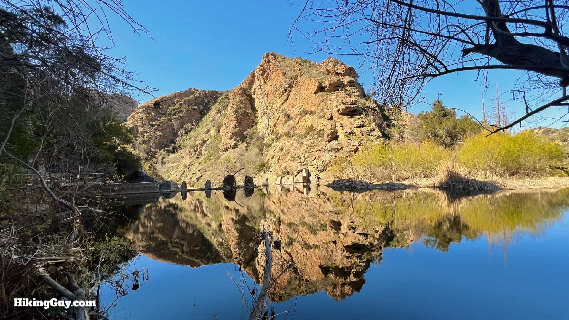 Century Lake and dam views
Here, you’ll be rewarded with stunning views of Century Lake (named after 20th Century Fox) and the dam, constructed in 1903 by Crags Country Club. The dramatic crags in the distance are part of the Goat Buttes. This lake is also famously known as the filming location for the “cliff jump scene” in Butch Cassidy and the Sundance Kid.
 Lower road along Century Lake
Instead of returning to Crags Road, continue along the lower road beside the lake.
 Rejoining Crags Road – turn left
When you rejoin Crags Road, turn left.
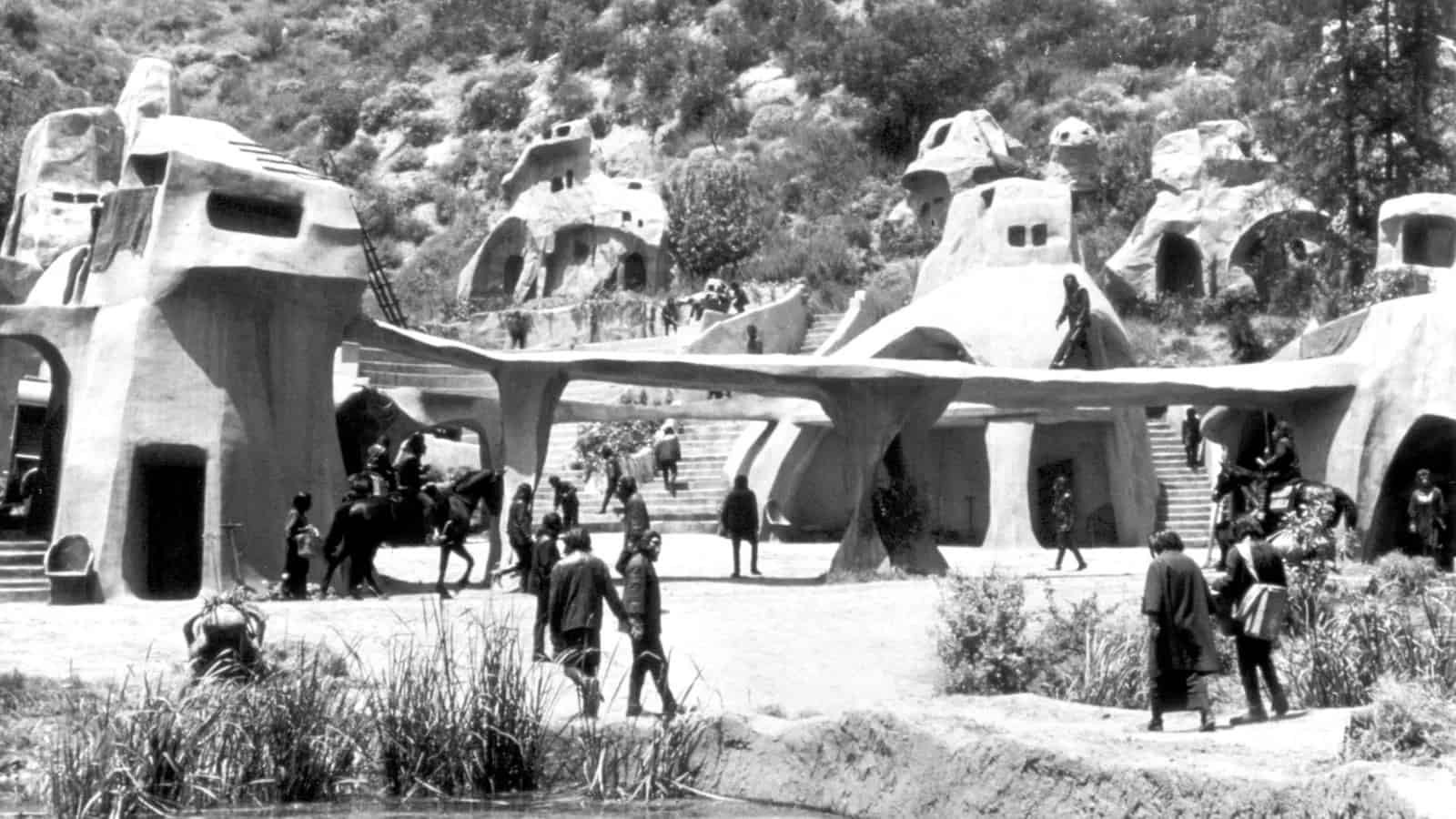 Planet of the Apes filming location movie, showcasing the diverse filming history of the park. Photo Marc Wanamaker/Bison Archives
This junction is historically significant as the location where “Ape Village” was constructed for the original Planet of the Apes movie. Photo Marc Wanamaker/Bison Archives
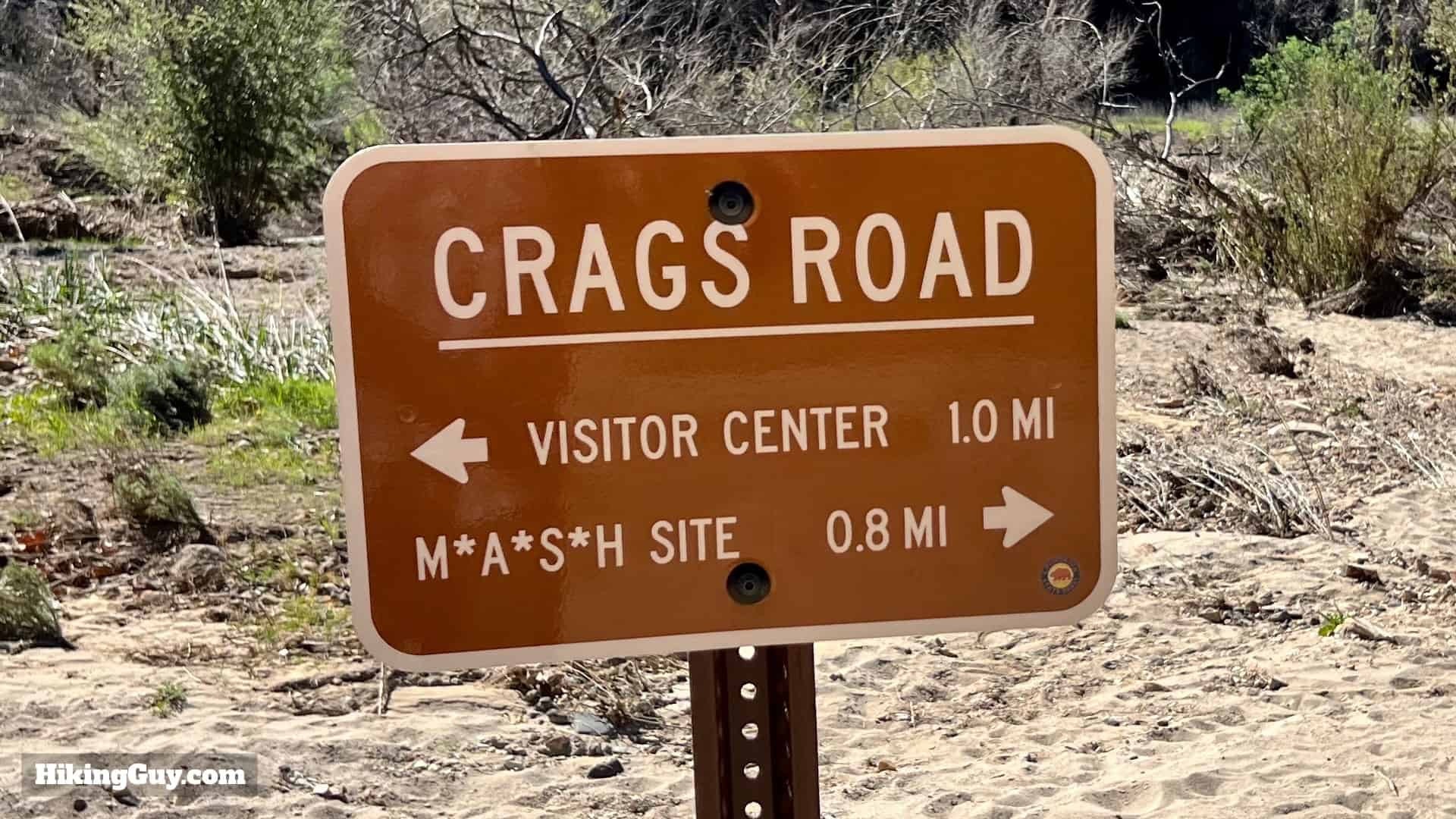 Sign to MASH site
A sign will point you towards the MASH site.
 Hiking on sandy Crags Road
Continue on the easygoing Crags Road.
 Passing the Yearling Trail junction
Pass the Yearling Trail on your right.
 Concrete dam on the left
Look for a concrete dam on your left.
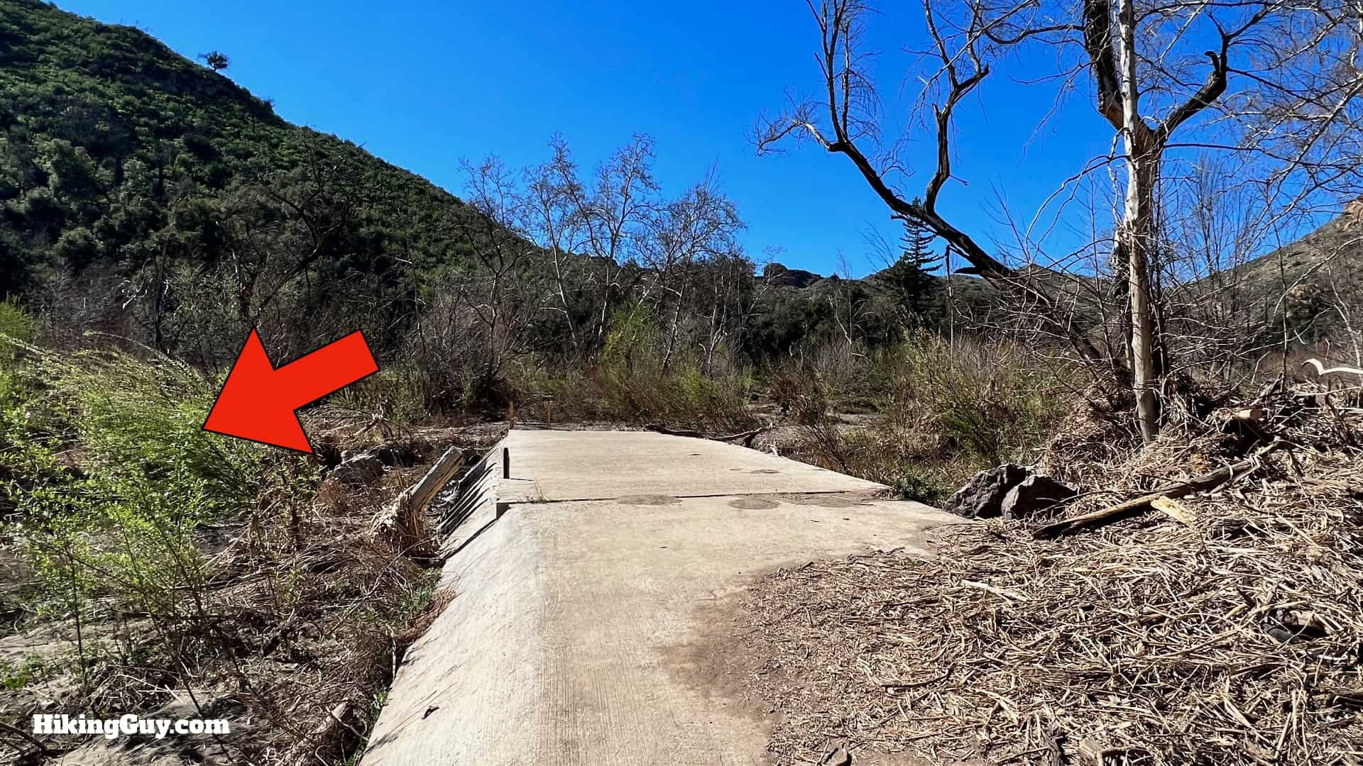 Turn left off the dam
At the end of the dam, turn left, away from the dam.
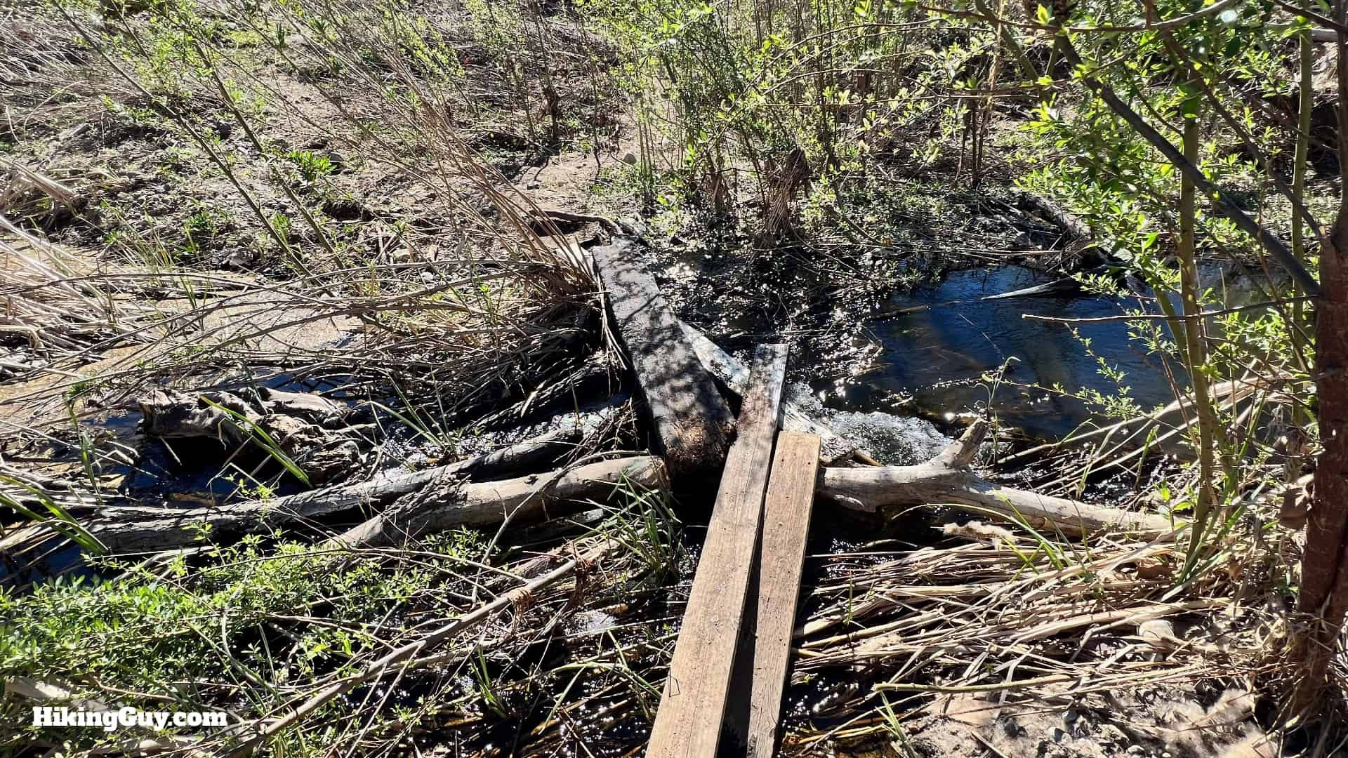 Board crossing over the creek
Use the provided boards to cross the creek. The condition of these boards may vary, so assess the safest crossing method.
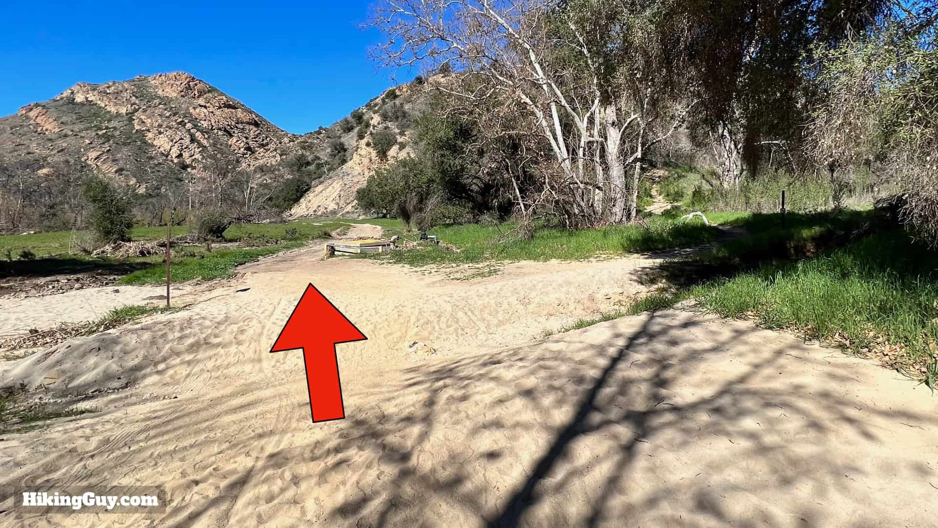
 Trail continues upstream
Once across, continue upstream on the trail.
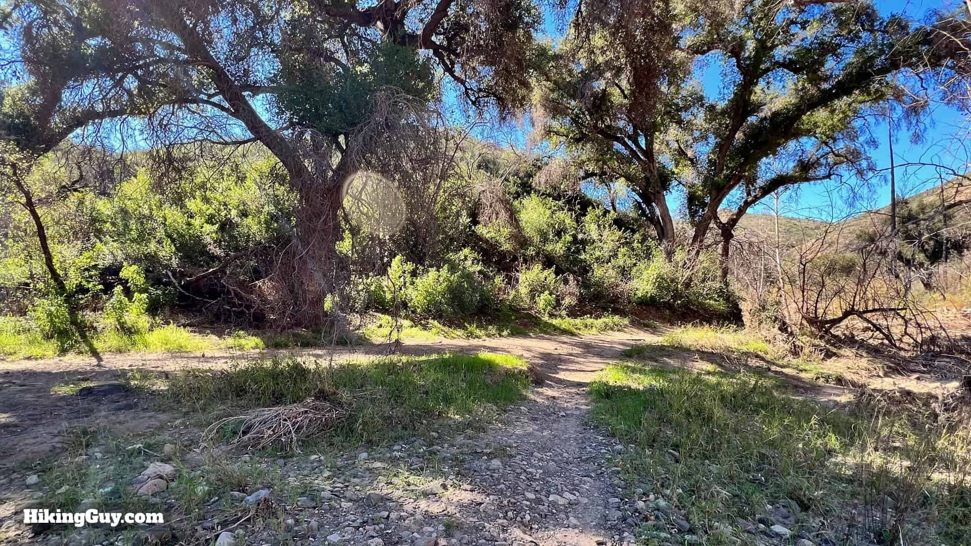
 Crags Road turns into a canyon trail
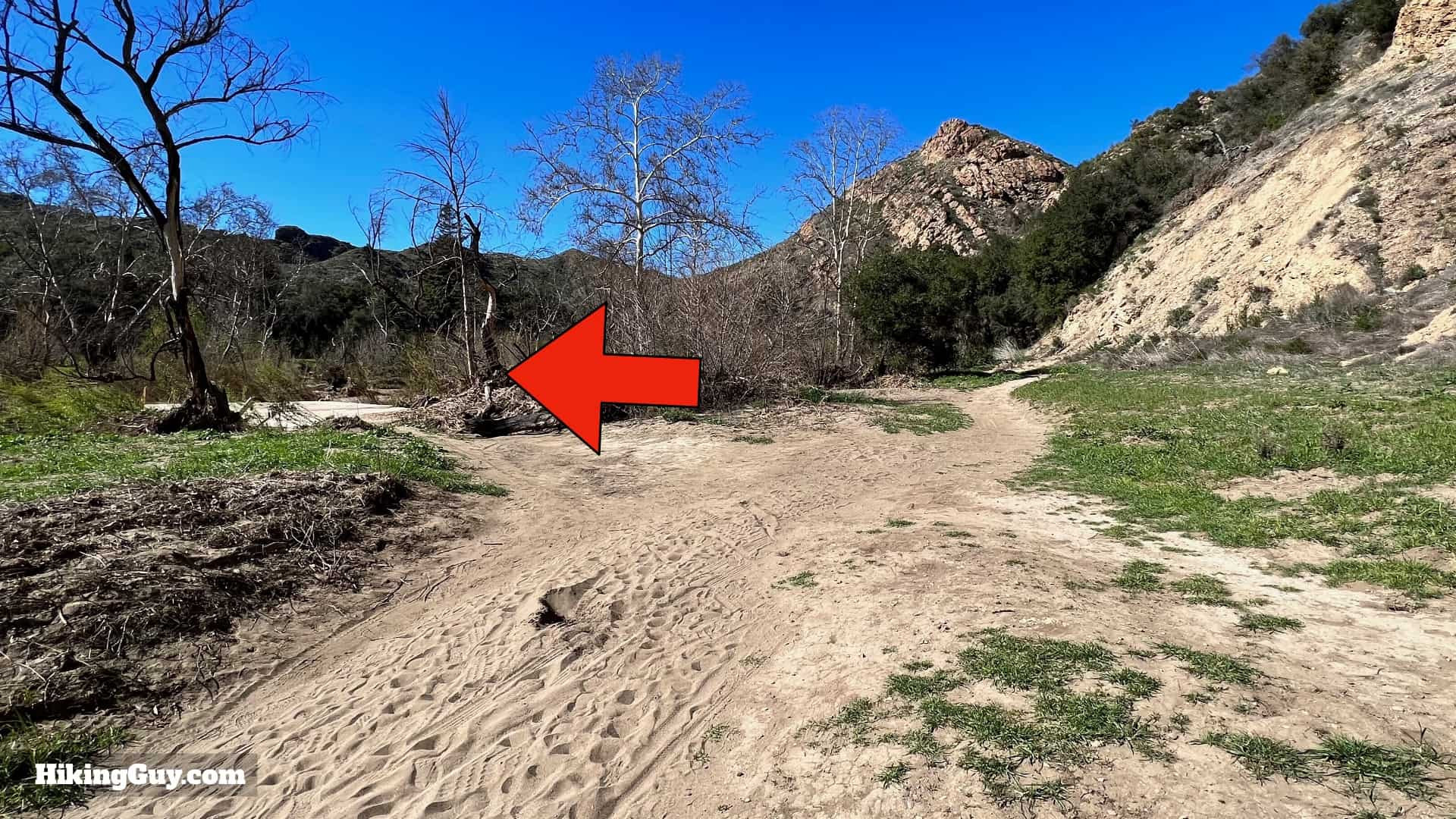
Crags Road narrows significantly and makes a sharp left, following the creek into a canyon.
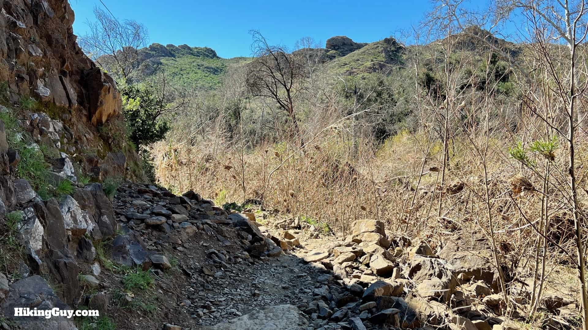
 Following the creek upstream in the canyon
Continue upstream, following the creek.
 Rejoining the road near MASH site
Eventually, you’ll rejoin a road.
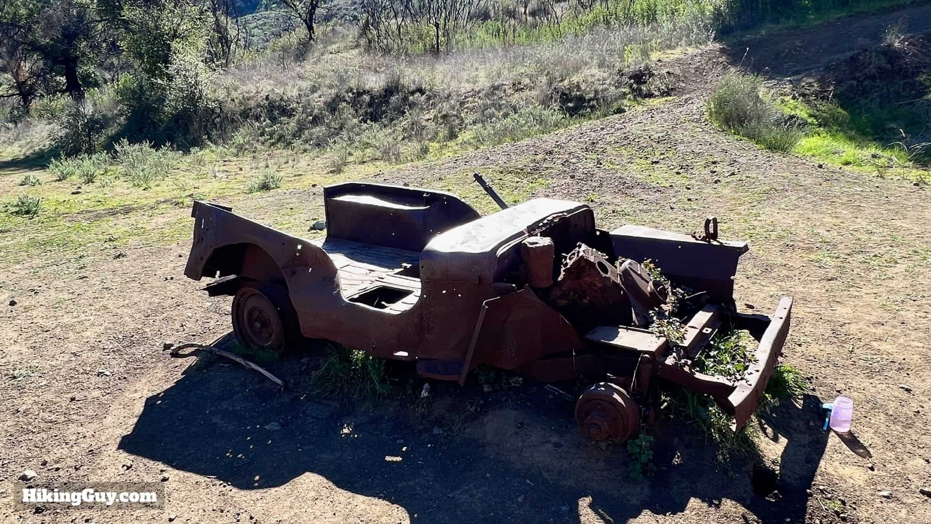
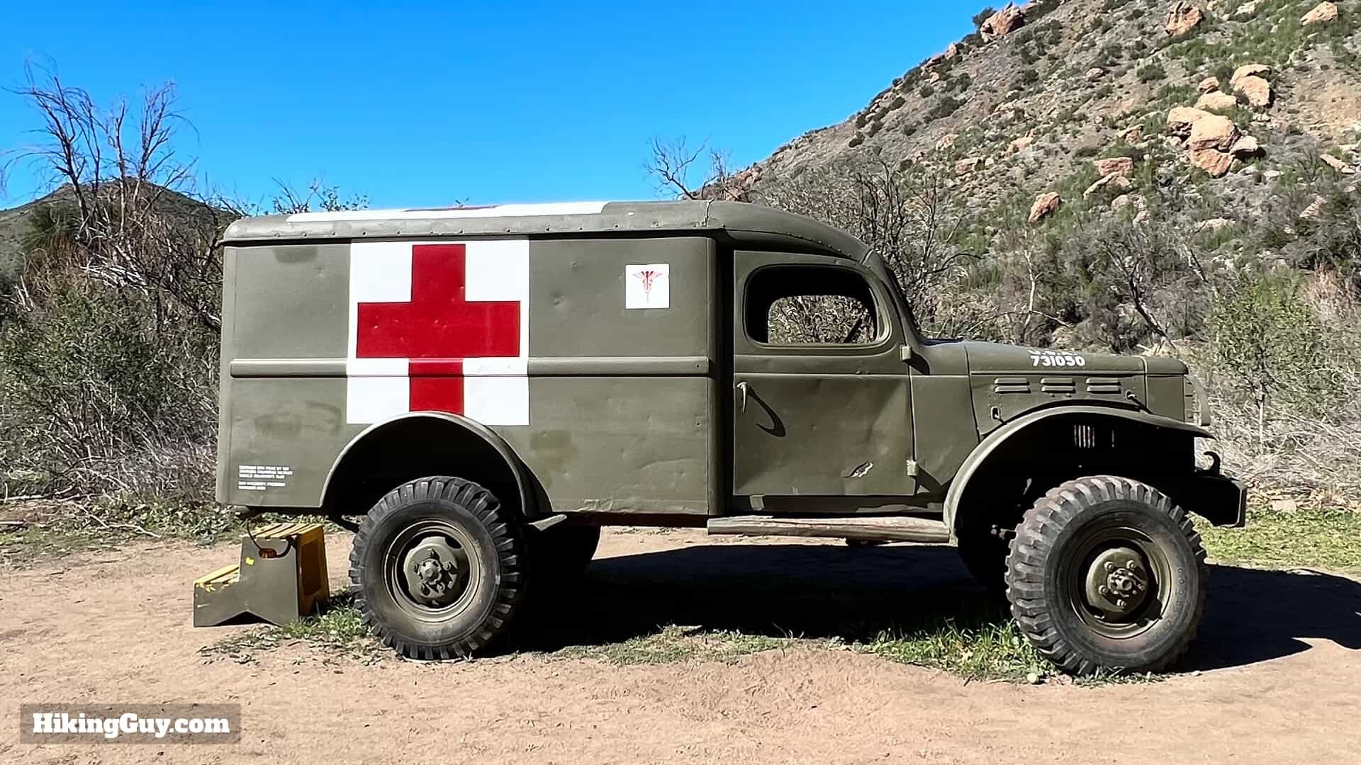 Military ambulance – MASH site entrance
You’ll then spot an old military ambulance, signaling the beginning of the MASH site. This ambulance is part of a 2007 restoration of the area.
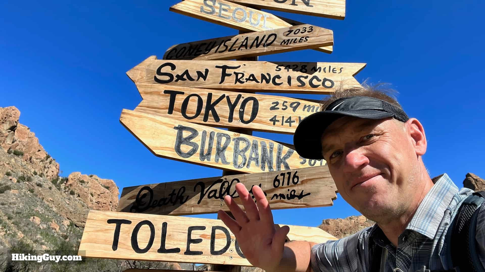
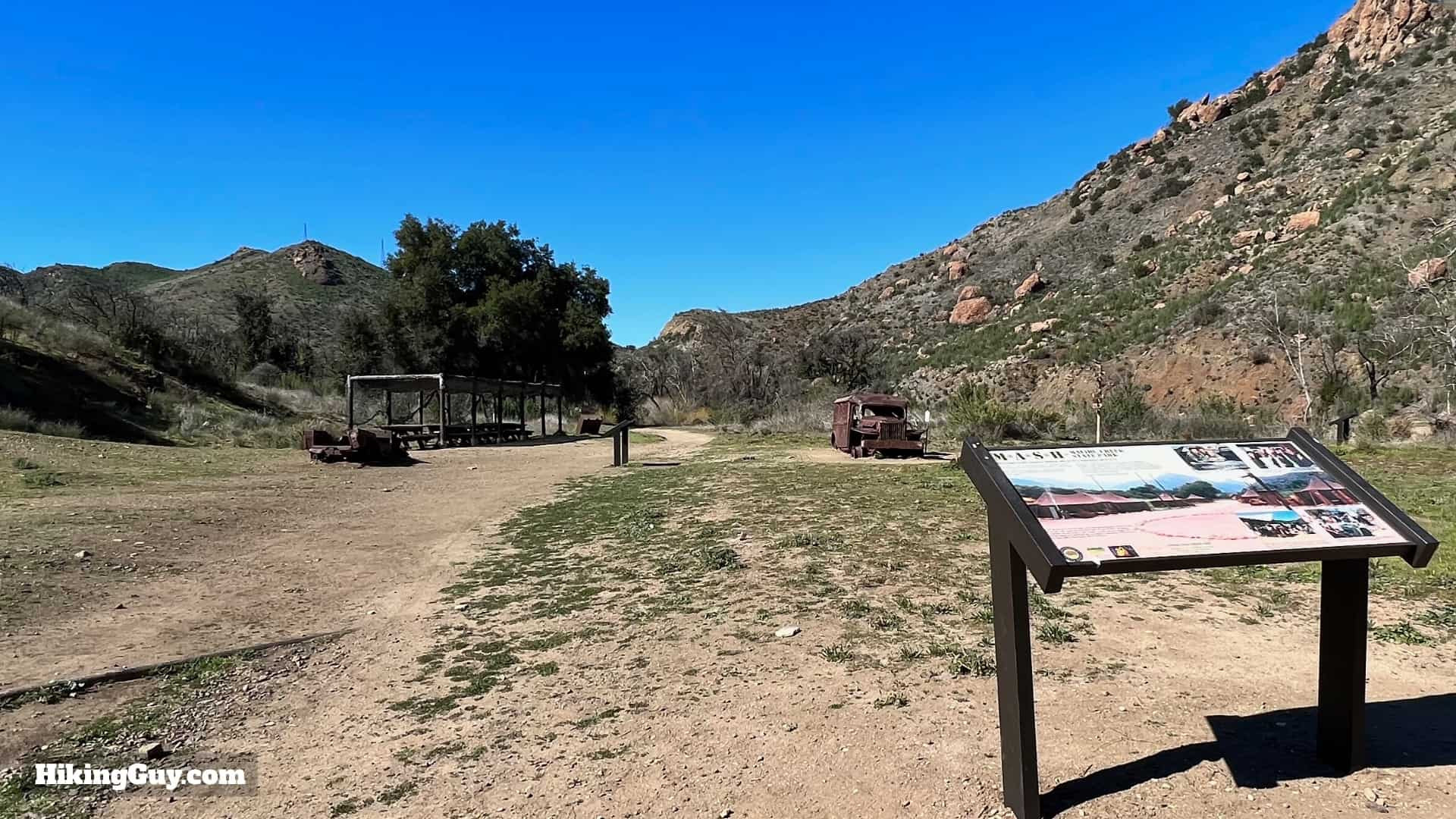 Interpretive displays at the MASH site
Explore the interpretive displays that provide fascinating insights into the MASH TV show and its filming history.
 Vehicles from the MASH set
Discover preserved vehicles from the show.
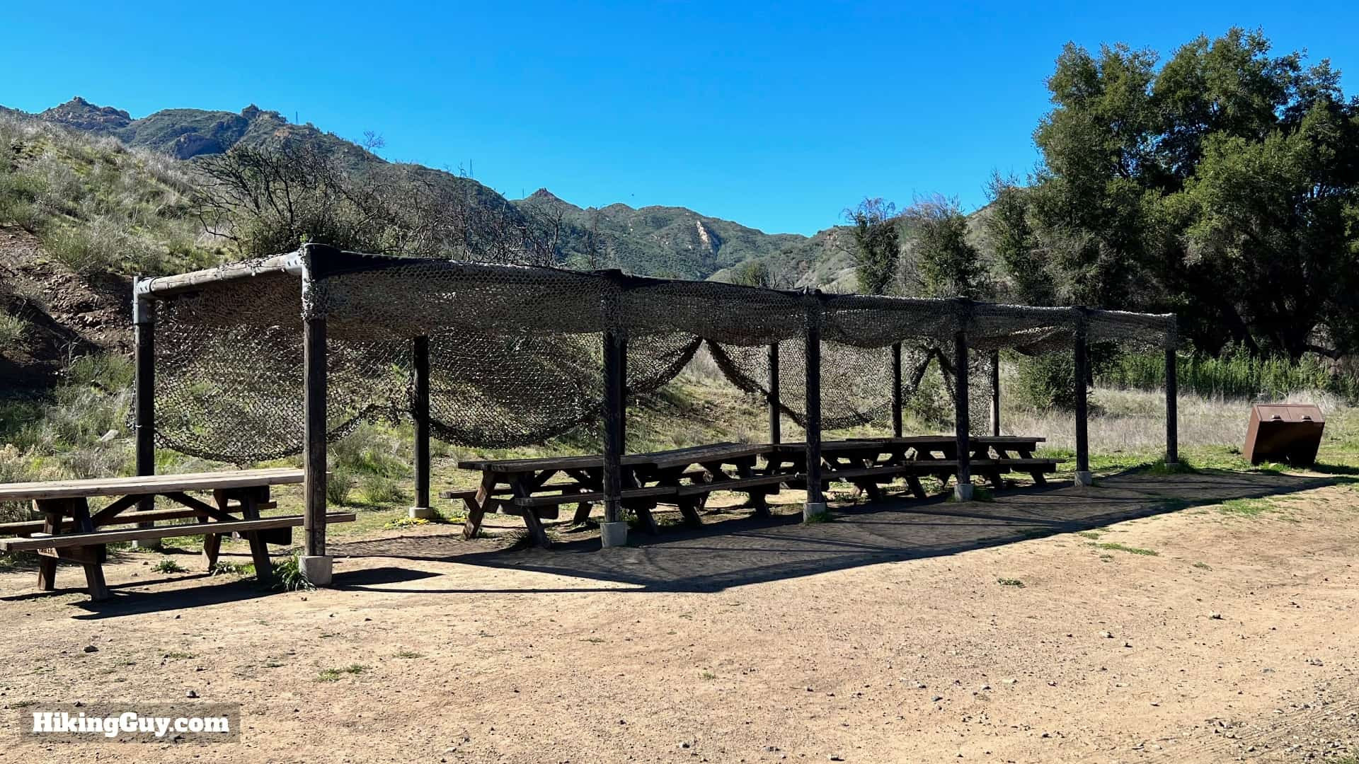 Mess tables at the MASH site
And even the mess tables!
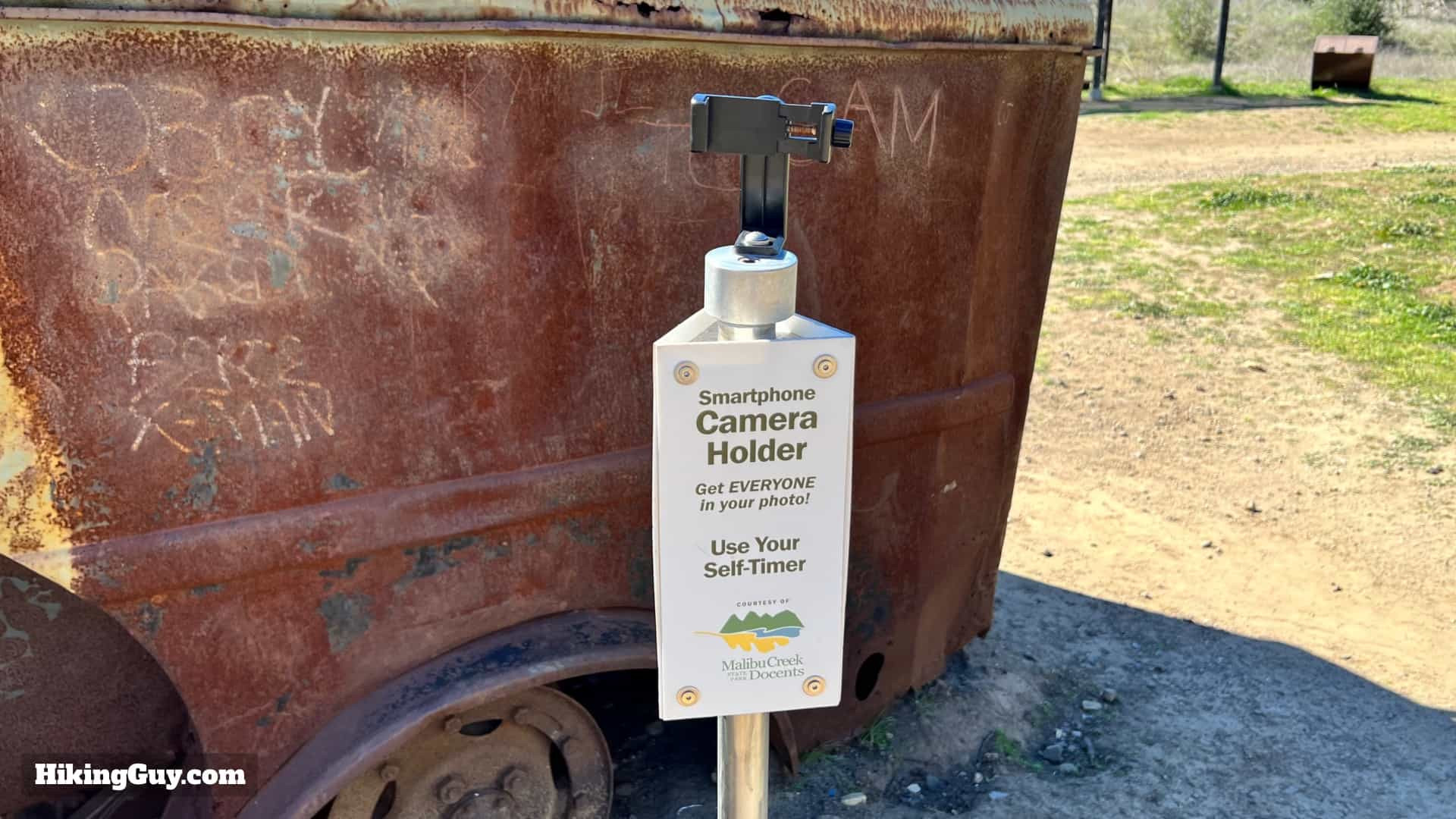 Selfie holder at the MASH site
There’s even a “selfie holder” for capturing your visit.
 Return hike on Crags Road
After exploring the MASH site, simply return via the same route. For a quicker return, you can stay directly on Crags Road, bypassing the Rock Pools, and it will lead you back to the starting point.